


Why visit Wietmarschen
Townapedia lists 11 museums and landmarks, 14 parks and trails, 41 places to eat, 4 places to stay and 5 attractions in and around town.
Highlights include Schiffahrts-Museum Nordhorn, Dalum-Wietmarscher Moor and Michaelisgarten.
Weather in Wietmarschen
Forecast from MET Norway (CC BY 4.0). Full forecast
About Wietmarschen
Wietmarschen (Northern Low Saxon: Wietmöschken) is a unitary municipality (Einheitsgemeinde) in the district of Grafschaft Bentheim in Lower Saxony, Germany. It is split into the villages of Wietmarschen, Füchtenfeld, Schwartenpohl, Lohnerbruch, Nordlohne and Lohne with Lohne being the biggest and having the town hall while Wietmarschen, which is the second biggest, having the name.
From the Wikipedia article Wietmarschen (this version), under CC BY-SA 4.0.
Travel tips from other travellers: Wietmarschen on Wikivoyage (CC BY-SA 4.0).
Things to do5


Vogellehrstand
Scenic view · 8.6 km
Ausguck zur Beobachtung der umgebenden Flora und Fauna mit interaktiver Installation zum Studium von Vogelstimmen
Museums and landmarks11


Parks, trails and playgrounds14





2 more on the map.
Restaurants and cafes41


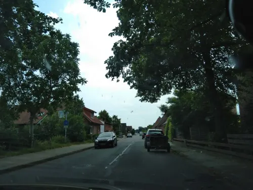

Biener Landbäckerei Wintering
Bakery · 6.6 km
84 Hauptstraße, Wietmarschen
Mo-Fr 06:00-18:30;Sa 06:00-15:00; Su 08:00-11:00
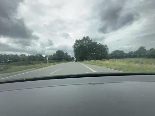
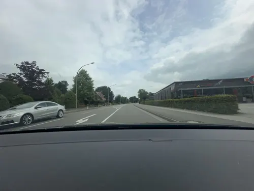
Lohner Landbäckerei
Bakery · 6.8 km
68 Hauptstraße, Wietmarschen
Mo-Fr 06:00-19:00; Sa 06:00-18:00; Su 07:30-17:00
Wintering Biener Landbäckerei
Bakery · 8.8 km
4 Nach Schleuse I, Nordhorn
Mo-Fr 06:00-18:00; Sa06:00-17:00; Su06:00-11:00
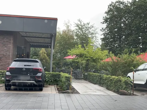
Lohner Landbäcker
Cafe · Coffee Shop, Regional, Bäckerei · 6.3 km
7 Ernst-Heinkel-Straße, Nordhorn
Mo-Fr 05:30-18:00;Sa 05:30-17:00;Su 07:30-17:00
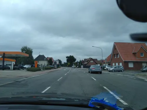


29 more on the map.
Where to stay4
Churches and places of worship9
Michaeliskirche Klausheide
Church · Lutheran, Catholic, Reformed · 6.4 km
11c Klausheider Weg, Nordhorn
Friedhofskapelle Klausheide
Place of worship · 7.1 km
34 Flugplatzstraße, Nordhorn
Shopping13
Gas and EV charging8
Schools, colleges and libraries9
Healthcare3
Map of Wietmarschen
117 places. The map loads OpenStreetMap tiles when you open it.
Getting there and nearby towns
Münster Osnabrück Airport (FMO) is the nearest airport with scheduled flights listed in OpenStreetMap, 57 km away.
- Lohne 6 km east, about 6 min by car
- Georgsdorf 6 km northwest, about 6 min by car
- Nordhorn 11 km southwest, about 11 min by car
- Neuenhaus 12 km west, about 12 min by car
- Lingen 13 km east, about 13 min by car
- Geeste 13 km northeast, about 13 min by car
- Esche 12 km west, about 12 min by car
- Twist 14 km north, about 14 min by car
- Osnabrück 68 km southeast, about 1 h 15 min by car
- Münster 70 km southeast, about 1 h 15 min by car
Drive times are estimates from straight-line distance, not routes.
Local news
Headlines from INDB.
Reviews, tips and questions
Loading what members have shared...
Sources and licences
- GeoNames (CC BY 4.0): population, coordinates, regions and time zone
- Mapillary (see each image): photos
- OpenStreetMap contributors (ODbL 1.0): places, airports, map data
- Wikidata (CC0 1.0): elevation, founding date, time zone, website
- Wikimedia Commons (see each image): photos
- Wikipedia (CC BY-SA 4.0): overview and history text
Photo credits
- Wietmarschen, Stiftskirche 1, Rauenstein, CC BY-SA 3.0
- Geeste - Dalum-Wiemarscher Moor - Zum Hügel - Aussichtshügel 01 ies, Frank Vincentz, CC BY-SA 3.0
- Klausheide Schule Altbau 2048px, Jüppken, CC BY 3.0
- Naturschutzgebiet Wacholderheide (Lingen) (Kennzeichen NSG WE 163), ant.scha, CC BY-SA 3.0
- Michaeliskirche Klausheide, Heribert Duling (Famduling), CC BY-SA 3.0 de
- Lohne, Kirche St. Antonius, Rauenstein, CC BY-SA 3.0
- Dalum-Wietmarscher Moor 01, Balooh86, CC BY-SA 4.0
- Kirche Wietmarschen, ThWiet89, CC BY-SA 4.0
- Pica pica on roof top, Maret Hosemann, CC BY 2.0
- Ambulance in the UK 04, Dickelbers, CC BY-SA 4.0
- Ambulance in the UK 03, Dickelbers, CC BY-SA 4.0
- Ambulance in the UK 02, Dickelbers, CC BY-SA 4.0
- Ambulance in Abu Dhabi 06, Dickelbers, CC BY-SA 4.0
- Ambulance in Abu Dhabi 05, Dickelbers, CC BY-SA 4.0
- Ambulance in Abu Dhabi 01, Dickelbers, CC BY-SA 4.0
- Ambulance in the UK 01, Dickelbers, CC BY-SA 4.0
- Ambulance in Abu Dhabi 04, Dickelbers, CC BY-SA 4.0
- Ambulance in Abu Dhabi 03, Dickelbers, CC BY-SA 4.0
- Ambulance in Abu Dhabi 02, Dickelbers, CC BY-SA 4.0
- Street-level photo, robinvdlinde, CC BY-SA 4.0
- Street-level photo, cAble_Guy, CC BY-SA 4.0
- Street-level photo, cAble_Guy, CC BY-SA 4.0
- Street-level photo, brunsben, CC BY-SA 4.0
- Street-level photo, robinvdlinde, CC BY-SA 4.0
- Street-level photo, robinvdlinde, CC BY-SA 4.0
- Street-level photo, brunsben, CC BY-SA 4.0
- Street-level photo, cAble_Guy, CC BY-SA 4.0
- Street-level photo, brunsben, CC BY-SA 4.0
- Street-level photo, brunsben, CC BY-SA 4.0
- Street-level photo, robinvdlinde, CC BY-SA 4.0
- Street-level photo, brunsben, CC BY-SA 4.0
- Street-level photo, heetENkoel, CC BY-SA 4.0


Page built November 8, 2026. Spotted a mistake? Tell us or suggest a place.