


Wolgast, Germany
Wolgast is a town of 12,664 people in Mecklenburg-Vorpommern, Germany, founded in 1200.
Why visit Wolgast
Townapedia lists 15 museums and landmarks, 13 parks and trails, 43 places to eat, 9 places to stay and 11 attractions in and around town.
Highlights include Peenebrücke, Peeneland Agrar, Kaffeemühle and Dampffährschiff Stralsund.
Weather in Wolgast
Forecast from MET Norway (CC BY 4.0). Full forecast
About Wolgast
Wolgast is a town in the district of Vorpommern-Greifswald, in Mecklenburg-Vorpommern, Germany. It is situated on the Peenestrom, facing the island of Usedom, with access to the Baltic Sea by road and railway via a movable bascule bridge known as the Blaues Wunder. As of December 2024, the town had a population of around 12,000.
From the Wikipedia article Wolgast (this version), under CC BY-SA 4.0.
Things to do11



Museums and landmarks15
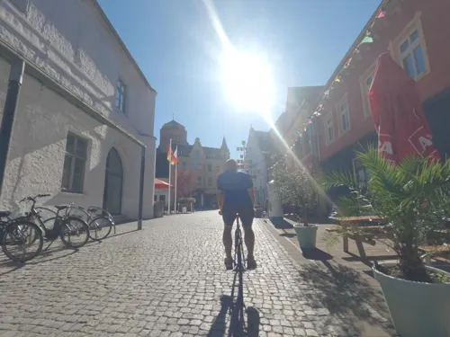
Kaffeemühle
Museum
Stadtgeschichtliches Museum "Kaffeemühle"
6 Rathausplatz, Wolgast
May-Oct: Tu-Su,PH 10:00-16:00

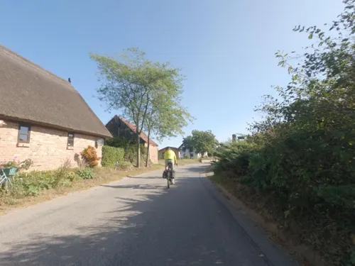

Otto Runge Haus
Monument and historic site · 0.6 km
45 Kronwiekstraße, Wolgast
May-Oct: Tu-Sa,PH 10:00-16:00


Usedom Keramik - Werkstatt und Galerie
Museum · 5.3 km
Atelier und Töpferei seit 1984, mit Skulpturengarten und Garten-Café.
10 Zinnowitzer Straße, Mölschow
3 more on the map.
Parks, trails and playgrounds13

Tierpark Wolgast
Park · 2.3 km
1 Am Tierpark, Wolgast
Mar-Apr: 10:00-15:30, May-Sep 10:00-17:30, Oct 09:30-16:00,...



Sportboothafen / Wasserwanderrastplatz Ziemitz
Marina and boat launch · 3.7 km
Ansteuerung: Vom Hauptfahrwasser des Peenestromes führt eine 2,0 Meter tiefe Zufahrt direkt zum Sportboothafen. Die Zufahrt ist durch...

Blauer Garten mit Skulpturen
Park · 5.3 km
Skulpturengarten mit Blaublühern, beliebtes Ausflugsziel für Kunst- und Gartenliebhaber. Teilnehmer an der Landesweiten Aktion "Offene...


1 more on the map.
Restaurants and cafes43


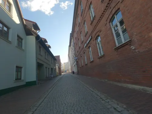


Taverne Mykonos
Restaurant · Greek · 0.6 km
30 Am Fischmarkt, Wolgast
Tu,Th 12:00-15:00,17:00-22:00; Fr-Su 12:00-22:00

Bella Vita
Restaurant · Pizza · 0.8 km
Mo closed; Tu-Su 10:00-14:00, 16:00-22:00; PH 10:00-14:00, 16:00-22:00
31 more on the map.
History
Wolgast was founded by the Wends on an island in the Peenestrom sound. The occupation of the region by Wartislaw I, Duke of Pomerania led to the Conversion of Pomerania by Otto of Bamberg in 1128. During this time, there was an influx of thousands of Low German settlers from Groningen and Drenthe.
From the History section of Wolgast on Wikipedia, under CC BY-SA 4.0.
Where to stay9
Churches and places of worship10
Herz-Jesu-Kirche
Church · Roman Catholic
10 August-Dähn-Straße, Wolgast
Evangelisch - Freikirchliche Gemeinde Wolgast / Usedom
Church · Protestant · 1.9 km
36b Straße der Freundschaft, Wolgast
Shopping10
Gas and EV charging5
Schools, colleges and libraries7
Regionalschule mit Grundschule „Carl Wilhelm Berthold Heberlein“
School · 1.1 km
32 Heberleinstraße, Wolgast
Healthcare5
Map of Wolgast
128 places. The map loads OpenStreetMap tiles when you open it.
Getting there and nearby towns
Peenemünde Airfield (PEF) is the nearest airport with scheduled flights listed in OpenStreetMap, 12 km away.
- Hohendorf 4 km southwest, about 4 min by car
- Mölschow 5 km northeast, about 5 min by car
- Katzow 6 km west, about 6 min by car
- Trassenheide 7 km northeast, about 7 min by car
- Kröslin 7 km north, about 7 min by car
- Karlshagen 8 km northeast, about 8 min by car
- Zemitz 8 km south, about 8 min by car
- Ostseebad Zinnowitz 9 km east, about 9 min by car
- Lühmannsdorf 10 km southwest, about 10 min by car
- Prenzlau 82 km south, about 1 h 15 min by car
Drive times are estimates from straight-line distance, not routes.
Local news
Headlines from INDB.
Reviews, tips and questions
Loading what members have shared...
Sources and licences
- GeoNames (CC BY 4.0): population, coordinates, regions and time zone
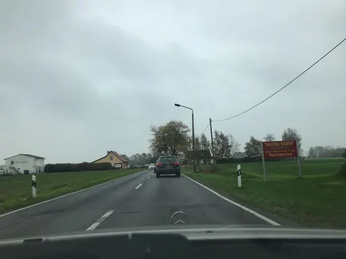
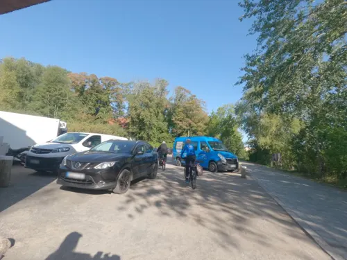
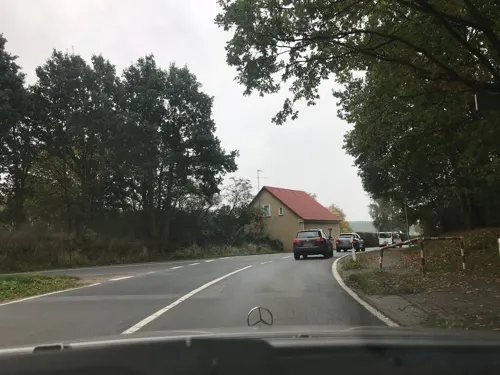
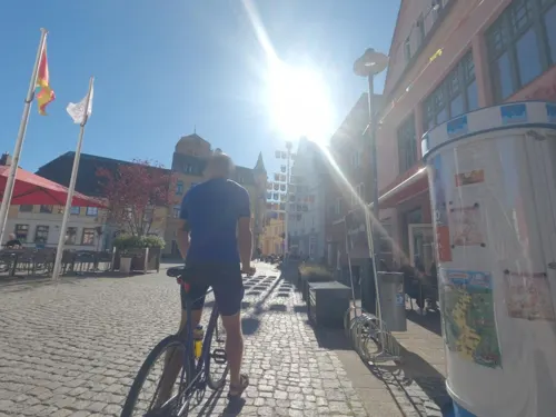
- Mapillary (see each image): photos
- OpenStreetMap contributors (ODbL 1.0): places, airports, map data
- Wikidata (CC0 1.0): elevation, founding date, time zone, website
- Wikimedia Commons (see each image): photos
- Wikipedia (CC BY-SA 4.0): overview and history text
Photo credits
- Wolgast Rathausplatz 2013-06-21 25c, Niteshift, CC BY-SA 3.0
- Wolgast Kapelle St Juergen, Erell, CC BY-SA 3.0
- Wolgast St.-Petri-Kirche 2013-06-21 17, Niteshift, CC BY-SA 3.0
- 17438 Wolgast, Germany - panoramio (7), hh oldman, CC BY 3.0
- 17438 Wolgast, Germany - panoramio (13), hh oldman, CC BY 3.0
- 17438 Wolgast, Germany - panoramio (8), hh oldman, CC BY 3.0
- 17438 Wolgast, Germany - panoramio (11), hh oldman, CC BY 3.0
- 17438 Wolgast, Germany - panoramio (10), hh oldman, CC BY 3.0
- 17438 Wolgast, Germany - panoramio (9), hh oldman, CC BY 3.0
- 17438 Wolgast, Germany - panoramio (5), hh oldman, CC BY 3.0
- 17438 Wolgast, Germany - panoramio (6), hh oldman, CC BY 3.0
- 17438 Wolgast, Germany - panoramio (4), hh oldman, CC BY 3.0
- 17438 Wolgast, Germany - panoramio (3), hh oldman, CC BY 3.0
- 17438 Wolgast, Germany - panoramio, hh oldman, CC BY 3.0
- Wolgast Realschule Am Kirchplatz 2013-06-21 21, Niteshift, CC BY-SA 3.0
- Wolgast Realschule Am Kirchplatz 2013-06-21 23, Niteshift, CC BY-SA 3.0
- 17438 Wolgast, Germany - panoramio (2), hh oldman, CC BY 3.0
- Wolgast Bildstein Petrikirche, RSchreg, CC BY-SA 4.0
- 17438 Wolgast, Germany - panoramio (1), hh oldman, CC BY 3.0
- St-petri-wolgast, Andreas Faessler, CC BY-SA 4.0
- Schachtdeckel in Wolgast, Insel Usedom 2H1A6891WI, Kora27, CC BY-SA 4.0
- Wolgast Rathausplatz 9 2013-06-21 26, Niteshift, CC BY-SA 3.0
- Wolgast Rathausplatz 1 2013-06-21 27, Niteshift, CC BY-SA 3.0
- Wolgast Rathausplatz Brunnen 2013-06-21 28, Niteshift, CC BY-SA 3.0
- Wolgast Rathausplatz 6-8 2013-06-21 29c, Niteshift, CC BY-SA 3.0
- Wolgast Rathausplatz 2013-06-21 29, Niteshift, CC BY-SA 3.0
- Wolgast Metallplastik Wolgaster Segel von Jürgen Kümmel, Katkanej, CC BY-SA 4.0
- Wolgastjuli2015, Fransvannes, CC BY-SA 4.0
- 19910714a Wolgast Hafen, Roehrensee, CC BY-SA 3.0
- Wolgast Gedenktafel am Rungehaus, Assenmacher, CC BY-SA 3.0
- Wolgast Museumshafen Fährschiff Stralsund 2013-06-21 45, Niteshift, CC BY-SA 3.0
- Eisenbahnfaehrschiff Stralsund 2014 Totale1, McKarri, CC BY-SA 3.0
- Wolgast Herz Jesu Kirche Suedostgiebel, Erell, CC BY-SA 3.0
- Wolgast, Dennis Myts, CC BY-SA 2.5
- Krummin, Kirche St. Michael (2008-08-31), Klugschnacker, CC BY-SA 3.0
- Peenebrücke Wolgast 01 09, Хрюша, CC BY-SA 3.0
- Skulpturenpark-katzow, Hyperboreer art, CC BY-SA 3.0
- Katzow Kirche3, An-d, CC BY-SA 3.0
- Netzeband-Steintanz-0606b11, Chron-Paul, CC BY-SA 3.0
- Wolgaster Anlagen 2023 Turm Belvedere, Erell, CC BY-SA 4.0
- Aspekt Eriophorum angustifolium 146, B.Lezius, CC BY 3.0
- Wolgast Herz Jesu Kirche Südwestseite, Erell, CC BY-SA 3.0
- Braunbär im Tierpark Wolgast - Flickr-Bild 4360717078, Flickr user mcantsin, CC BY-SA 2.0
- Street-level photo, saschahaberkorn, CC BY-SA 4.0
- Street-level photo, masterofnoroad, CC BY-SA 4.0
- Street-level photo, masterofnoroad, CC BY-SA 4.0
- Street-level photo, masterofnoroad, CC BY-SA 4.0
- Street-level photo, masterofnoroad, CC BY-SA 4.0
- Street-level photo, masterofnoroad, CC BY-SA 4.0
- Street-level photo, masterofnoroad, CC BY-SA 4.0
- Street-level photo, saschahaberkorn, CC BY-SA 4.0
- Street-level photo, masterofnoroad, CC BY-SA 4.0
- Street-level photo, flohoff, CC BY-SA 4.0
- Street-level photo, elgolfo, CC BY-SA 4.0
- Street-level photo, masterofnoroad, CC BY-SA 4.0
- Street-level photo, elgolfo, CC BY-SA 4.0
- Street-level photo, flohoff, CC BY-SA 4.0
- Street-level photo, masterofnoroad, CC BY-SA 4.0
- Street-level photo, elgolfo, CC BY-SA 4.0


Page built November 8, 2026. Spotted a mistake? Tell us or suggest a place.