


Why visit Wunsiedel
Townapedia lists 31 museums and landmarks, 19 parks and trails, 71 places to eat, 17 places to stay and 26 attractions in and around town.
Highlights include Greifvogelpark Katharinenberg, Freilichtbühne Luisenburg, Fichtelgebirgsmuseum and Felsenlabyrinth Luisenburg.
Weather in Wunsiedel
Forecast from MET Norway (CC BY 4.0). Full forecast
About Wunsiedel
Wunsiedel (German pronunciation: [ˈvʊnˌziːdl̩] ; Northern Bavarian: Wåuṉsieḏl or Wousigl) is the seat of the Upper Franconian district of Wunsiedel in northeast Bavaria, Germany. The town is the birthplace of poet Jean Paul. It also became known for its annual Luisenburg Festival and the Rudolf Hess Memorial March held there by Neo-Nazis until 2005.
From the Wikipedia article Wunsiedel (this version), under CC BY-SA 4.0.
Things to do26

Greifvogelpark Katharinenberg
Zoo and aquarium · 0.9 km
1 Am Katharinenberg, Wunsiedel
Mo-Su,PH 13:00-17:00


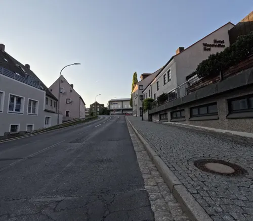




14 more on the map.
Museums and landmarks31


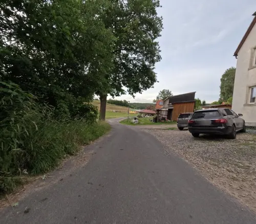
Dorfmuseum Kleinwendern
Museum · 4.5 km
5, Bad Alexandersbad
"nach Vereinbarung"



Wissenschaftliche Sammlung von Käfern und Schmetterlingen
Museum · 1.0 km
20 Ritterstraße, Wunsiedel
"nach vorheriger Anmeldung"

19 more on the map.
Parks, trails and playgrounds19

Landschaftsgarten
Park · 3.3 km
Cultural heritage monument D-4-79-169-270 (0) in Wunsiedel, Bavaria







7 more on the map.
Restaurants and cafes71

Kösseinehaus
Restaurant · Bavarian · 5.9 km
Unterkunftshaus Kösseine des Fichtelgebirgsvereins - Wirtshaus und Übernachtung - mehr Infos unter www.fichtelgebirgsverein.de
Tu-Fr 10:00-22:00; Sa 09:00-22:00; Su 09:00-18:00
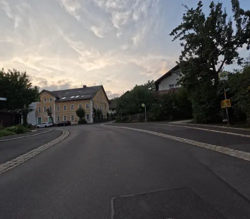
Braustüberl
Restaurant · Regional · 2.7 km
10 Brunnenstraße, Wunsiedel
Tu-Fr 16:00-24:00; Sa-Su 10:00-24:00

Gasthof Hanold
Restaurant · Regional · 4.4 km
12 Tiefenbach, Bad Alexandersbad
We 17:00-21:00, Su 11:30-13:30,17:00-20:00

Zum Poststüberl
Restaurant · 4.6 km
7 Grötschenreuther Straße, Tröstau

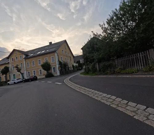
Brauerei Lang-Bräu
Brewery and winery · 2.8 km
17 Bayreuther Straße, Wunsiedel
Mo-Fr 07:00-18:00; Sa 08:00-12:00
Zum Forsthaus
Restaurant · Regional · 5.8 km
Tu-Fr 16:00-22:00; Sa 10:00-22:00; Su, PH 10:00-14:00, 17:00-22:00; Mo off
Königsstuben
Restaurant · German
12 Theresienstraße, Wunsiedel
Mo 17:00-22:00; Th-Su 11:00-14:00,17:00-22:00; Tu,We off


59 more on the map.
History
Wunsiedel was first mentioned in 1163 as the seat of a ministerialis, Adelbertus or Albert. The name probably originates from Wunne ('glades') and Sedel ('noble seat'). In 1285, Burgrave Friedrich III of Nuremberg received the fiefdom of the town from King Rudolph I of Habsburg. In 1326, Wunsiedel was given town rights by Burgrave Friedrich IV and this was confirmed in 1328 by Emperor Louis the Bavarian. In 1430 Hans of Kotzau defeated the Hussites in the Battle of Katharinenberg, a low mountain immediately south of Wunsiedel, and in 1652 Jobst of Schirnding beat the Bohemians also on the Katharinenberg.
In the Middle Ages, Wunsiedel was a centre of tin mining and achieved great economic importance through the manufacture of tin plate. In 1613, it became capital of the Sechsämterland — an area comparable in size to the modern district Wunsiedel im Fichtelgebirge. The bailiffs (Amtmänner) in Hohenberg, Weißenstadt, Kirchenlamitz, Selb and Thierstein were all subordinated to the high bailiff (Amtshauptmann) in Wunsiedel.
Wunsiedel was a part of the Hohenzollern Principality of Bayreuth until 1791/92 when the last margrave, Karl Alexander, abdicated and the region was placed under Prussian administration. It was occupied for four years by Napoleon's troops and, in 1810, became part of the Kingdom of Bavaria.
From the History section of Wunsiedel on Wikipedia, under CC BY-SA 4.0.
Where to stay17
Jugendherberge Marktredwitz
Motel and hotel · 6.2 km
29 Wunsiedler Straße, Marktredwitz
Soibelsmanns Hotel Alexandersbad
Motel and hotel · 2.6 km
24 Markgrafenstraße, Bad Alexandersbad
Churches and places of worship16
Heilig-Geist-Kirche
Church · Lutheran · 2.4 km
5 Markgrafenstraße, Bad Alexandersbad
St. Johannis
Church · Lutheran · 5.5 km
4 Ludwigsfelder Straße, Röslau
Shopping21
Gas and EV charging5
Ladestation Wanderparkplatz am Bürgerhaus
EV charging · 5.0 km
29 Wunsiedler Straße, Röslau
Schools, colleges and libraries26
Evang. Bildungs- und Tagungszentrum
School · Lutheran · 2.9 km
34 Markgrafenstraße, Bad Alexandersbad
Fachschule für Heilerziehungspflege
School · 6.0 km
30 Thölauer Straße, Marktredwitz
Gästebibliothek Bad Alexandersbad
Library · 2.7 km
28 Markgrafenstraße, Bad Alexandersbad
Luisenburg-Gymnasium Wunsiedel
School
9 Burggraf-Friedrich-Straße, Wunsiedel
Kösseine Grund- und Mittelschule Tröstau/Nagel
School · 4.7 km
19 Schulstraße, Tröstau
Berufsfachschule für Krankenpflege des Klinikums Fichtelgebirge in Marktredwitz
School · 6.1 km
1-8 Schillerhain, Marktredwitz
HelfRecht Unternehmerische Planungsmethoden
School · 2.8 km
32 Markgrafenstraße, Bad Alexandersbad
Healthcare6
Marien-Apotheke am Klinikum
Clinic and pharmacy · 6.3 km
33 Jean-Paul-Straße, Marktredwitz
Map of Wunsiedel
238 places. The map loads OpenStreetMap tiles when you open it.
Getting there and nearby towns
Verkehrslandeplatz Bayreuth (BYU) is the nearest airport with scheduled flights listed in OpenStreetMap, 27 km away.
- Bad Alexandersbad 3 km south, about 3 min by car
- Tröstau 5 km southwest, about 5 min by car
- Röslau 5 km north, about 5 min by car
- Marktredwitz 7 km southeast, about 7 min by car
- Waldershof 8 km southeast, about 8 min by car
- Grub 9 km northwest, about 9 min by car
- Nagel 9 km southwest, about 9 min by car
- Höchstädt im Fichtelgebirge 9 km northeast, about 9 min by car
- Thiersheim 10 km northeast, about 10 min by car
- Erlangen 87 km southwest, about 1 h 30 min by car
Drive times are estimates from straight-line distance, not routes.
Local news
Headlines from INDB.
Reviews, tips and questions
Loading what members have shared...
Sources and licences
- GeoNames (CC BY 4.0): population, coordinates, regions and time zone
- Mapillary (see each image): photos
- OpenStreetMap contributors (ODbL 1.0): places, airports, map data
- Wikidata (CC0 1.0): elevation, founding date, time zone, website, landmarks and historic places
- Wikimedia Commons (see each image): photos
- Wikipedia (CC BY-SA 4.0): overview and history text
Photo credits
- Felsenlabyrinth 31 db, Unknown author, CC BY-SA 3.0
- Wunsiedel Spitalhof Kopfsteinpfalster, TheRunnerUp, CC BY-SA 4.0
- Wunsiedel Spitalhof Museum, TheRunnerUp, CC BY-SA 4.0
- Wunsiedel, view from the Siegmund-Wann-Straße to the Spitalkirche, Dguendel, CC BY 3.0
- Wunsiedel, Maximilianstraße 34-002, H.Helmlechner, CC BY-SA 4.0
- Wunsiedel, Sigmund-Wann-Straße 31-002, H.Helmlechner, CC BY-SA 4.0
- Luisenburg 2014 11, Derzno, CC BY-SA 3.0
- Marktredwitz x012, PeterBraun74, CC BY-SA 3.0
- Burgsteinfelsen, Benreis, CC BY-SA 3.0
- Kösseinehaus (Juli 2013), Bastian Roth, CC BY-SA 3.0
- Großer Haberstein, Benreis, CC BY-SA 3.0
- Luisenburg Festspiele, Junge Luisenburg, CC BY-SA 4.0
- Schloss Alexandersbad, Benreis, CC BY-SA 3.0
- 2023 Wenderner Stein - by 2eight - 9SC6693, Stefan Brending ( 2eight ), CC BY-SA 3.0 de
- 2023 Burgsteinfelsen - by 2eight - 9SC6714, Stefan Brending ( 2eight ), CC BY-SA 3.0 de
- Wunsiedel, St. Veit, 003, Tilman2007, CC BY-SA 3.0
- Wunsiedel, Spitalkirche-003, Tilman2007, CC BY-SA 3.0
- Röslau, St. Johannis (01) 5, Subbass1, CC BY-SA 4.0
- Ausblick vom Gipfel der Kösseine, Jörg Braukmann, CC BY-SA 4.0
- Röslau, Katholische Filialkirche (05), Subbass1, CC BY-SA 4.0
- Luisenburg 2014 19, Derzno, CC BY-SA 3.0
- Kosseine, No machine-readable author provided. AlphaCentauri assumed (based on copyright claims)., CC BY-SA 3.0
- Zeitelmoos 2015 xy2, PeterBraun74, CC BY-SA 4.0
- Tröstau, WUN - Grötschenreuther Str Nr 7 v SO, Flodur63, CC BY-SA 4.0
- St Peter - Schönbrunn WUN 067, DALIBRI, CC BY-SA 4.0
- Wunsiedel Kirche Aposteln Seitenansicht, ernstol, CC BY-SA 3.0
- Haberstein - Kösseine, Jörg Braukmann, CC BY-SA 4.0
- Innenhof FGM, No machine-readable author provided. Oelbauer assumed (based on copyright claims)., CC BY-SA 3.0
- Luftbild des Burgsteinfelsens, Paul68293, CC BY-SA 4.0
- Wunsiedel, das Luisenburg-Gymnasium, Dguendel, CC BY 3.0
- Kleine Kösseine, ErhardSiller, CC BY-SA 4.0
- Wunsiedel Greifvogelpark, Corradox, CC BY-SA 3.0
- St. Veit Wunsiedel 02, H.Helmlechner, CC BY-SA 4.0
- Wunsiedel Gottesackerkirche 2012, Ullries, CC BY-SA 3.0
- Mapillary (zoegglmeyr) 2016-12-28 11H30M56S000 (467036421258153 at fSHAuSqAER6cQS5KwQs kw with Garmin VIRB), zoegglmeyr, CC BY-SA 4.0
- Mapillary (zoegglmeyr) 2016-12-28 11H31M01S000 (3041926509363496 at fSHAuSqAER6cQS5KwQs kw with Garmin VIRB), zoegglmeyr, CC BY-SA 4.0
- Mapillary (zoegglmeyr) 2016-12-28 11H30M51S000 (730881774259110 at fSHAuSqAER6cQS5KwQs kw with Garmin VIRB), zoegglmeyr, CC BY-SA 4.0
- Mapillary (zoegglmeyr) 2016-12-28 11H31M06S000 (469183134303981 at fSHAuSqAER6cQS5KwQs kw with Garmin VIRB), zoegglmeyr, CC BY-SA 4.0
- Mapillary (zoegglmeyr) 2016-12-28 13H43M39S000 (484504206073781 at C-HSYCsLoGQcRIHehjMmxQ with Garmin VIRB), zoegglmeyr, CC BY-SA 4.0
- Mapillary (kopra) 2025-07-08 16H15M40S000 (1386103205805382 at H57izl8NmcOwJsh0Z2XtuK with GoPro HERO11 Black), kopra, CC BY-SA 4.0
- Hammerschloss Leupoldsdorf - panoramio, G. Zapf, CC BY 3.0
- Street-level photo, kopra, CC BY-SA 4.0
- Street-level photo, kopra, CC BY-SA 4.0
- Street-level photo, kopra, CC BY-SA 4.0
- Street-level photo, r66, CC BY-SA 4.0
- Street-level photo, kopra, CC BY-SA 4.0
- Street-level photo, kopra, CC BY-SA 4.0
- Street-level photo, r66, CC BY-SA 4.0
- Street-level photo, zoegglmeyr, CC BY-SA 4.0
- Street-level photo, kopra, CC BY-SA 4.0
- Street-level photo, kopra, CC BY-SA 4.0
- Street-level photo, r66, CC BY-SA 4.0
- Street-level photo, kopra, CC BY-SA 4.0
- Street-level photo, SuedOstLink, CC BY-SA 4.0
- Street-level photo, kopra, CC BY-SA 4.0
- Street-level photo, zoegglmeyr, CC BY-SA 4.0
- Street-level photo, zoegglmeyr, CC BY-SA 4.0
- Street-level photo, zoegglmeyr, CC BY-SA 4.0
- Street-level photo, kopra, CC BY-SA 4.0
- Street-level photo, SuedOstLink, CC BY-SA 4.0


Page built November 8, 2026. Spotted a mistake? Tell us or suggest a place.