


Why visit Zossen
Townapedia lists 97 museums and landmarks, 24 parks and trails, 103 places to eat, 30 places to stay and 58 attractions in and around town.
Highlights include Hofladen Märkische Agrargenossenschaft, Hofladen, Museum des Teltow and Neukölln-Mittenwalder Eisenbahn.
Weather in Zossen
Forecast from MET Norway (CC BY 4.0). Full forecast
About Zossen
Zossen (German pronunciation: [ˈtsɔsn̩] ; Upper Sorbian: Sosny, pronounced [ˈsɔsnɨ]) is a German town in the district of Teltow-Fläming in Brandenburg, about 30 kilometres (20 mi) south of Berlin, and next to the B96 highway. Zossen consists of several smaller municipalities, which were grouped in 2003 to form the city.
From the Wikipedia article Zossen (this version), under CC BY-SA 4.0.
Things to do58

Hofladen Märkische Agrargenossenschaft
Farm and orchard · 9.3 km
Mo-Fr 07:00-18:00; Sa 08:00-13:00; PH off



46 more on the map.
Museums and landmarks97



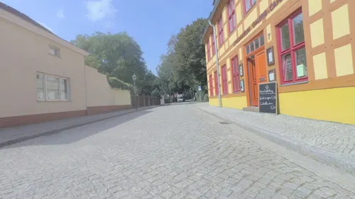

Gutshaus Jühnsdorf
Monument and historic site · 10.4 km
22 Dorfstraße, Blankenfelde-Mahlow


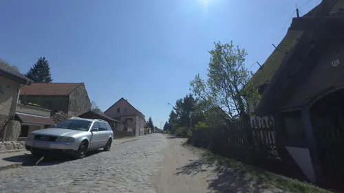

Scheunenwindmühle Saalow
Monument and historic site · 5.4 km
Scheunenwindmühle und Gefallenendenkmal, Dorfaue in Am Mellensee OT Saalow


85 more on the map.
Parks, trails and playgrounds24






Seesportclub Rangsdorf
Marina and boat launch · 8.4 km
Slippanlage und Kran bis 2 to http://sscra.de/
SG 53
Marina and boat launch · 8.2 km
Rangsdorfer Segelgemeinschaft 53 e.V. www.rangsdorfer-segelgemeinschaft.de

12 more on the map.
Restaurants and cafes103
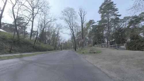
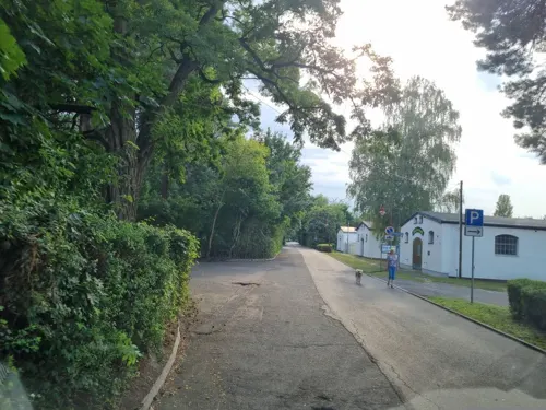
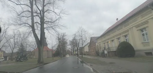
Alter Dorfkrug
Restaurant · German · 9.1 km
19 Dorfaue, Ludwigsfelde
Th 17:00-21:00; Fr 17:00-22:00; Sa 12:00-22:00; Su 12:00-20:00
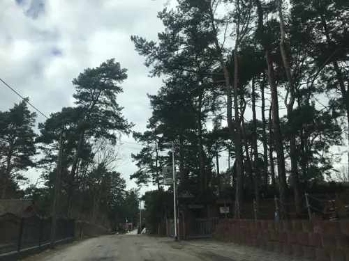
Die Fischstube
Restaurant · Fish · 4.3 km
3 Hauptstraße, Am Mellensee
Mo,Th,Su,PH 12:00-20:00; Fr-Sa 12:00-21:00

Knossos
Restaurant · Greek · 8.7 km
1 Goethestraße, Rangsdorf
Mo,We,Th 11:30-14:00; Fr 17:00-23:00; Sa,Su 11:30-23:00

Phil's Burger
Restaurant · Burger · 5.2 km
50 Berliner Allee, Zossen
Mo-Th 11:00-13:00,17:00-21:00; Fr-Sa 11:00-14:00,16:00-22:00; Su...
Pizza Musti
Restaurant · Italian, Pizza · 10.7 km
26 Dorfstraße, Blankenfelde-Mahlow
Tu-Fr 11:30-14:30; Tu-Su 16:00-21:00; Su 11:30-14:30
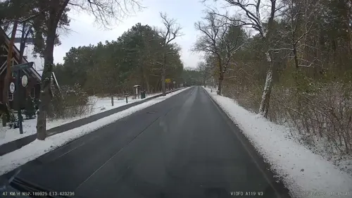


Restaurant Dachstuhl
Restaurant · Regional, Mediterranean · 3.3 km
42 Zossener Chaussee, Am Mellensee
PH,We-Su 11:00-22:00; Mo-Tu 16:00-22:00
91 more on the map.
History
Zossen, like many places in Brandenburg, was originally a Slavic settlement. Its name (Upper Sorbian: Sosny) may derive from "Sosna", meaning pine, a tree quite common in the region.
In 1875, Zossen railway station opened on the railway line from Berlin to Dresden and the Prussian military railway to the artillery range at Kummersdorf-Gut in present-day Am Mellensee. Between 1901 and 1904, Zossen adopted the use of various high-speed vehicles, such as electric locomotives and trams, for transportation to and from Berlin-Marienfelde. These vehicles were powered by an alternating current of 15 kV and used a variable frequency. The power was transmitted by three overhead lines arranged one above the other.
From the History section of Zossen on Wikipedia, under CC BY-SA 4.0.
Where to stay30
Fahrradverleih Daske , Zelt - und Wohnmobilstellplatz
Campground · 10.4 km
16a Neuendorfer Straße, Am Mellensee
Churches and places of worship25
Dorfkirche Groß Schulzendorf
Church · Protestant · 9.1 km
32 Dorfaue, Ludwigsfelde
Dorfkirche Sperenberg
Church · Protestant · 10.1 km
11a Karl-Fiedler-Straße, Am Mellensee
Mariä Unbefleckte Empfängnis (Zossen)
Church · Catholic · 0.6 km
7 Wasserstraße, Zossen
Shopping29
Gas and EV charging10
Total Mittenwalde Berliner Chaussee
Gas station · 8.6 km
22A Berliner Chaussee, Mittenwalde
Schools, colleges and libraries23
Healthcare11
Map of Zossen
250 places. The map loads OpenStreetMap tiles when you open it.
Getting there and nearby towns
Berlin Brandenburg Airport "Willy Brandt" (BER) is the nearest airport with scheduled flights listed in OpenStreetMap, 17 km away.
- Mittenwalde 8 km northeast, about 8 min by car
- Rangsdorf 9 km north, about 9 min by car
- Sperenberg 10 km southwest, about 10 min by car
- Dahlewitz 12 km north, about 12 min by car
- Blankenfelde-Mahlow 14 km north, about 14 min by car
- Bestensee 13 km east, about 13 min by car
- Blankenfelde 14 km north, about 14 min by car
- Königs Wusterhausen 16 km northeast, about 16 min by car
- Berlin 34 km north, about 34 min by car
- Potsdam 33 km northwest, about 33 min by car
Drive times are estimates from straight-line distance, not routes.
Local news
Headlines from INDB.
Reviews, tips and questions
Loading what members have shared...
Sources and licences
- GeoNames (CC BY 4.0): population, coordinates, regions and time zone
- Mapillary (see each image): photos
- OpenStreetMap contributors (ODbL 1.0): places, airports, map data
- Wikidata (CC0 1.0): elevation, founding date, time zone, website
- Wikimedia Commons (see each image): photos
- Wikipedia (CC BY-SA 4.0): overview and history text
Photo credits
- Zossen, die Dreifaltigkeitskirche, Dguendel, CC BY 4.0
- Dreifaltigkeitskirche 2010 Zossen, Clemensfranz, CC BY-SA 4.0
- Kirche Zossen 2013, Clemensfranz, CC BY-SA 3.0
- Zossen, Polizeiwache, Dguendel, CC BY 4.0
- Zossen, Häuserzeile am Marktplatz-3, Dguendel, CC BY 4.0
- Zossen, Häuserzeile am Marktplatz-2, Dguendel, CC BY 4.0
- Dreifaltigkeitskirche Innen Zossen, Clemensfranz, CC BY-SA 4.0
- Dreifaltigkeitskirche Innen quer Zossen, Clemensfranz, CC BY-SA 4.0
- Zossen, die Häuser Kirchplatz 2 und 3, Dguendel, CC BY 4.0
- Zossen, das Rathaus, Dguendel, CC BY 4.0
- Stolperstein Felix Falk Zossen, Clemensfranz, CC BY-SA 3.0
- Stolperstein Axel Falk Zossen, Clemensfranz, CC BY-SA 3.0
- Stolperstein Familie Falk Zossen, Clemensfranz, CC BY-SA 3.0
- Stolperstein Gerda Juliane Falk Zossen, Clemensfranz, CC BY-SA 3.0
- Stolperstein Charlotte Falk Zossen, Clemensfranz, CC BY-SA 3.0
- Zossen Postamt, Clemensfranz, CC BY-SA 3.0
- Eiche Marktplatz Zossen, Clemensfranz, CC BY-SA 3.0
- Kirchplatz 11 Zossen, Clemensfranz, CC BY-SA 4.0
- Die Kirche in Zossen - panoramio, rucksackkruemel, CC BY 3.0
- Infotafel zum Zossener Burgrelief, ZS0104, CC0
- Denkmal — Die Burg Zossen im 17. Jahrhundert, ZS0104, CC BY-SA 4.0
- Markt 6 Zossen, Clemensfranz, CC BY-SA 4.0
- Zossen Stadtschule 2023CF, Clemensfranz, CC BY-SA 4.0
- Zossen, Häuserzeile am Marktplatz, Dguendel, CC BY 4.0
- 20220809.Zossen.-014, Bybbisch94, Christian Gebhardt, CC BY-SA 4.0
- Kirchplatz 8 Zossen, Clemensfranz, CC BY-SA 4.0
- Kirchplatz 7 Zossen Schulmuseum, Clemensfranz, CC BY-SA 4.0
- Markt 12 Zossen, Clemensfranz, CC BY-SA 4.0
- 20220809.Zossen.-013, Bybbisch94, Christian Gebhardt, CC BY-SA 4.0
- Zossen, die Baruther Straße, Dguendel, CC BY 4.0
- Zossen Fischerstraße 11, Clemensfranz, CC BY-SA 3.0
- Fischerstraße 11 Zossen 2016, Clemensfranz, CC BY-SA 4.0
- Eiche Parkplatz Volksbank Zossen, Clemensfranz, CC BY-SA 3.0
- Ehemalige Festung Stadtpark Zossen, Clemensfranz, CC BY-SA 4.0
- Zossen Bastionsruine, Clemensfranz, CC BY-SA 3.0
- Zossen Baeuerin, Clemensfranz, CC BY-SA 3.0
- Baruther Straße 12 Zossen 2013, Clemensfranz, CC BY-SA 3.0
- Zossen Baruther Strasse 12, Clemensfranz, CC BY-SA 3.0
- Bäuerin Stadtpark Zossen, Clemensfranz, CC BY-SA 4.0
- Scheunenmuehle-DCP 7731-saalow, Unknown author, CC BY-SA 3.0
- Naturschutzgebiet Gadsdorfer Torfstiche-1, Engeser, CC BY-SA 3.0
- Neukoelln6 Mittenwalder Eisenbahn, Lienhard Schulz, CC BY 2.5
- Mittenwalde Heimatmuseum Salzmarkt 5, Assenmacher, CC BY-SA 3.0
- Sperenberg Gipsberg mit Aussichtsturm, Assenmacher, CC BY-SA 3.0
- Kirche-Ragow-Mittenwalde, Ralfvieh, CC BY-SA 3.0
- Dorfkirche Sperenberg Suedostansicht, Assenmacher, CC BY-SA 4.0
- Dorfkirche Klein Kienitz 01, Engeser, CC BY-SA 3.0
- Dorfkirche Glienick - Deutschland - panoramio, Löwe 48, CC BY-SA 3.0
- Dorfkirche Schünow Südostansicht, Assenmacher, CC BY-SA 4.0
- Großmachnower Weinberg Blick von Westen, Assenmacher, CC BY-SA 4.0
- Dorfkirche Groß Schulzendorf Nordostansicht, Assenmacher, CC BY-SA 4.0
- Horstfelder und Hechtsee 2021-05-09 13, Leonhard Lenz, CC0
- Motzen Dorfkirche 2013, Berlin-George, CC BY-SA 3.0
- Bismarckstein Zossen, Dreizung, CC BY-SA 4.0
- Juehnsdorf Gutshaus, Lienhard Schulz, CC BY-SA 3.0
- Schloss Gut Neuhof, Lichterfelder, CC BY-SA 3.0
- Saalow Gefallenendenkmal, Radler59 ( talk ), CC BY-SA 4.0
- Jahn Denkmal Mittenwalde, Clemensfranz, CC BY-SA 3.0
- Mittenwalde Spitalkapelle, Clemensfranz, CC BY-SA 3.0
- St Moritz Kirche Mittenwalde, Clemensfranz, CC BY-SA 3.0
- Zossen Kirche, Clemensfranz, CC BY-SA 3.0
- Juehnsdorf church, Lienhard Schulz, CC BY-SA 3.0
- Zossen-Kallinchen Guhringsberg, Assenmacher, CC BY-SA 4.0
- Museum des Teltow - Wünsdorf - panoramio, Löwe 48, CC BY-SA 3.0
- Street-level photo, britiger, CC BY-SA 4.0
- Street-level photo, dsmm, CC BY-SA 4.0
- Street-level photo, britiger, CC BY-SA 4.0
- Street-level photo, dsmm, CC BY-SA 4.0
- Street-level photo, dsmm, CC BY-SA 4.0
- Street-level photo, alexander2010, CC BY-SA 4.0
- Street-level photo, moenk, CC BY-SA 4.0
- Street-level photo, britiger, CC BY-SA 4.0
- Street-level photo, tb4711, CC BY-SA 4.0
- Street-level photo, britiger, CC BY-SA 4.0
- Street-level photo, britiger, CC BY-SA 4.0
- Street-level photo, alexander2010, CC BY-SA 4.0
- Street-level photo, britiger, CC BY-SA 4.0
- Street-level photo, moenk, CC BY-SA 4.0
- Street-level photo, britiger, CC BY-SA 4.0
- Street-level photo, britiger, CC BY-SA 4.0
- Street-level photo, moenk, CC BY-SA 4.0
- Street-level photo, britiger, CC BY-SA 4.0
- Street-level photo, moenk, CC BY-SA 4.0
- Street-level photo, bufonto, CC BY-SA 4.0
- Street-level photo, britiger, CC BY-SA 4.0
- Street-level photo, moenk, CC BY-SA 4.0
- Street-level photo, britiger, CC BY-SA 4.0
- Street-level photo, dsmm, CC BY-SA 4.0


Page built November 8, 2026. Spotted a mistake? Tell us or suggest a place.