


Why visit Zwiesel
Townapedia lists 47 museums and landmarks, 13 parks and trails, 76 places to eat, 47 places to stay and 52 attractions in and around town.
Highlights include Filmtheater Zwiesel, Biohofladen Trauner, Bauernhausmuseum Lindberg and Waldmuseum.
Weather in Zwiesel
Forecast from MET Norway (CC BY 4.0). Full forecast
About Zwiesel
Zwiesel (German pronunciation: [ˈtsviːzl̩] ) is a town in the lower-Bavarian district of Regen, Germany, and since 1972 is a Luftkurort with particularly good air. The name of the town was derived from the Bavarian word stem zwisl which refers to the form of a fork. The fork of the rivers Großer Regen and Kleiner Regen and the land that lies between these two rivers were called Zwiesel.
From the Wikipedia article Zwiesel (this version), under CC BY-SA 4.0.
Things to do52
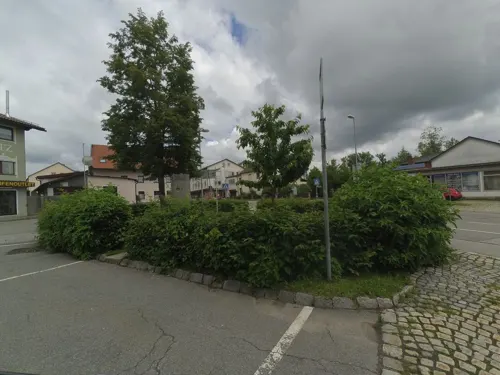




40 more on the map.
Museums and landmarks47

Bauernhausmuseum Lindberg
Museum · 2.4 km
Freilichtmusseum
May-Oct We 11:00-16:00, May-Oct Sa 11:00-16:00, May-Oct Su...


Weißbräuhaus
Monument and historic site · 0.7 km
Ehem. Forstamt
14 Stadtplatz, Zwiesel

Schloss Ludwigsthal
Monument and historic site · 4.4 km
Zentrum für Umweltbildung und exklusiver Veranstaltungsort
4 Eisensteiner Straße




35 more on the map.
Parks, trails and playgrounds13






1 more on the map.
Restaurants and cafes76
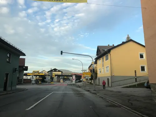
1. Zwieseler Dampfbierbrauerei
Brewery and winery · 1.3 km
9 Regener Straße, Zwiesel
Mo-Fr 08:00-12:00,13:00-17:00; Sa 09:00-12:00
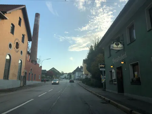

Hotel zur Waldbahn
Restaurant · 0.9 km
2 Bahnhofsplatz, Zwiesel
Tu-Th 11:30-14:30,17:30-23:00; Fr-Su 11:30-23:00
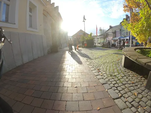
altbayrische Schmankerlstube
Restaurant · Regional · 0.7 km
Mo, We, Fr, Su, PH 11:30-22:00; Sa 17:00-22:00; Tu, Th 11:30-14:00
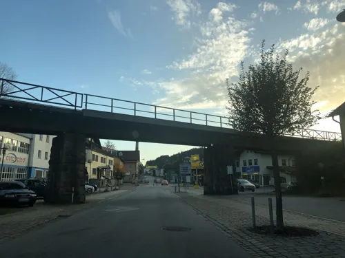
Geiling
Bakery · 1.2 km
2 Regener Straße, Zwiesel
Mo 06:00-13:00; Tu-Fr 06:00-17:00; Sa 06:00-12:00; PH off

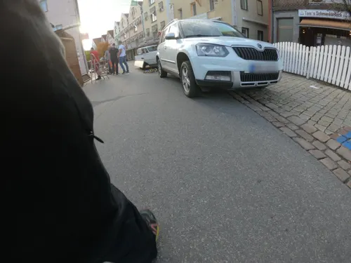
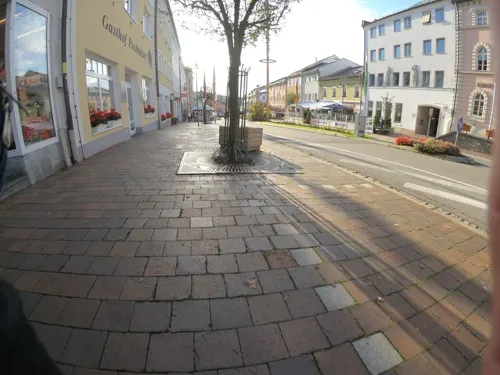



Ädäm's
Bar and pub · 5.6 km
5 Bahnhofstraße, Frauenau
Fr-Sa 18:00-01:00; Th 18:00-24:00; Su 14:00-18:00
64 more on the map.
History
According to the legend, the first settlers were gold diggers. It was in 1255 that Zwiesel was first mentioned as a village with a wooden chapel. In 1280 the area was an important trading centre for goods to and from Bohemia. From 1313 on, Zwiesel was designated as a market municipality. On 11 September 1560, the municipality of Zwiesel was granted the coat of arms by the Duke of Bavaria, Albert V, which is valid still today. Philipp Apian indicated the place on his map of 1568 calling it "Zwisel".
The development of Zwiesel was frequently hampered by wars and epidemic plagues. I.e. the area was destroyed in 1431 by the Hussites, in 1468 during the Böckler War and in 1633 by the Swedish Army during the Thirty Years' War. In 1741 it was invaded by the Pandurs and in 1809 there was a great battle at the Landwehrbergl against a horde of Bohemian plunderers.
It was as early as in the 16th century that mining started in Zwiesel at the Rotkot Mine.
From the History section of Zwiesel on Wikipedia, under CC BY-SA 4.0.
Where to stay47
Churches and places of worship25
Church of the Assumption of the Blessed Virgin Mary, Frauenau
Church · 5.5 km
Herz Jesu
Church · Roman Catholic · 4.5 km
23 Eisensteiner Straße, Lindberg
Shopping25
Gas and EV charging6
Schools, colleges and libraries7
Healthcare6
Map of Zwiesel
250 places. The map loads OpenStreetMap tiles when you open it.
Getting there and nearby towns
Flugplatz Straubing-Wallmühle (RBM) is the nearest airport with scheduled flights listed in OpenStreetMap, 54 km away.
- Lindberg 3 km northeast, about 3 min by car
- Frauenau 6 km southeast, about 6 min by car
- Rinchnach 8 km south, about 8 min by car
- Regen 9 km southwest, about 9 min by car
- Bodenmais 11 km northwest, about 11 min by car
- Bayerisch Eisenstein 11 km north, about 11 min by car
- Kirchdorf im Wald 12 km south, about 12 min by car
- Kirchberg 14 km south, about 14 min by car
- Spiegelau 15 km southeast, about 15 min by car
- Regensburg 83 km west, about 1 h 30 min by car
Drive times are estimates from straight-line distance, not routes.
Local news
Headlines from INDB.
Reviews, tips and questions
Loading what members have shared...
Sources and licences
- GeoNames (CC BY 4.0): population, coordinates, regions and time zone
- Mapillary (see each image): photos
- OpenStreetMap contributors (ODbL 1.0): places, airports, map data
- Wikidata (CC0 1.0): elevation, founding date, time zone, website, landmarks and historic places
- Wikimedia Commons (see each image): photos
- Wikipedia (CC BY-SA 4.0): overview and history text
Photo credits
- Zwiesel 003, No machine-readable author provided. Jüppsche~commonswiki assumed (based on copyright claims)., CC BY-SA 2.5
- 00 2712 Zwiesel - Kirche St. Nikolaus, W. Bulach, CC BY-SA 4.0
- 00 2716 Zwiesel - Kirche Sankt Nikolaus, W. Bulach, CC BY-SA 4.0
- 00 2720 Zwiesel - Kirche Sankt Nikolaus, W. Bulach, CC BY-SA 4.0
- 00 2726 Zwiesel - Kirche Sankt Nikolaus, W. Bulach, CC BY-SA 4.0
- 00 2727 Zwiesel - Kirche Sankt Nikolaus, W. Bulach, CC BY-SA 4.0
- 00 2713 Zwiesel - Stadtpfarrkirche, W. Bulach, CC BY-SA 4.0
- Zwiesel Kirche Pieta, Clemensfranz, CC BY-SA 3.0
- St. Nikolaus Zwiesel 04, H.Helmlechner, CC BY-SA 4.0
- St. Nikolaus Zwiesel 06 (cropped), H.Helmlechner, CC BY-SA 4.0
- St. Nikolaus Zwiesel 05, H.Helmlechner, CC BY-SA 4.0
- St. Nikolaus Zwiesel 06, H.Helmlechner, CC BY-SA 4.0
- 00 2722 Zwiesel - Stadtpfarrkirche St. Nikolaus, W. Bulach, CC BY-SA 4.0
- St. Nikolaus Zwiesel 01, H.Helmlechner, CC BY-SA 4.0
- St. Nikolaus Zwiesel 02, H.Helmlechner, CC BY-SA 4.0
- 00 2710 Zwiesel - Pfarrkirche St. Nikolaus, W. Bulach, CC BY-SA 4.0
- Baer-Lauch Zwiesel, Konrad Lackerbeck, CC0
- St. Nikolaus Zwiesel 03, H.Helmlechner, CC BY-SA 4.0
- 00 2709 Zwiesel - Kirche Sankt Nikolaus, W. Bulach, CC BY-SA 4.0
- Zwiesel Waldmuseum Bett, Clemensfranz, CC BY-SA 3.0
- Zwiesel Waldmuseum Kapelle, Clemensfranz, CC BY-SA 3.0
- 00 2733 Zwiesel - Rathaus, W. Bulach, CC BY-SA 4.0
- Stadtplatz Zwiesel 04, H.Helmlechner, CC BY-SA 4.0
- Rathaus von Zwiesel 02, H.Helmlechner, CC BY-SA 4.0
- Stadtplatz Zwiesel 01, H.Helmlechner, CC BY-SA 4.0
- Stadtplatz Zwiesel 06, H.Helmlechner, CC BY-SA 4.0
- Wv Zwiesel banner, H.Helmlechner, CC BY-SA 4.0
- Stadtplatz Zwiesel 05, H.Helmlechner, CC BY-SA 4.0
- Neopmuk-Denkmal Zwiesel, H.Helmlechner, CC BY-SA 4.0
- Bauernhausmuseum Lindberg, Konrad Lackerbeck, CC BY-SA 3.0
- Glasmuseum Frauenau, Konrad Lackerbeck, CC BY 3.0
- 00 2580 Frauenau - Pfarrkirche, W. Bulach, CC BY-SA 4.0
- Hennenkobel, Konrad Lackerbeck, Public domain
- Dorfkapelle Bärnzell, Konrad Lackerbeck, CC BY-SA 2.5
- Rabenstein, Neues Schloss-2, Konrad Lackerbeck, CC BY-SA 2.5
- Glasmacherkapelle Theresienthal, Konrad Lackerbeck, CC BY-SA 3.0
- Schloss Ludwigsthal, Konrad Lackerbeck, CC BY-SA 3.0
- Pfarrkirche Ludwigsthal, Konrad Lackerbeck, CC BY-SA 3.0
- Kirche Unterzwieselau, Konrad Lackerbeck, CC0
- Zwiesel, ehemaliges Forstamt, Konrad Lackerbeck, CC BY-SA 2.5
- Monte-Denkmal, Konrad Lackerbeck, CC BY 3.0
- Zwiesel Glaspyramide 02, H.Helmlechner, CC BY-SA 4.0
- Rotfilz, Konrad Lackerbeck, CC BY 3.0
- Die Stockauwiesen, Konrad Lackerbeck, CC BY-SA 2.5
- Bergkirche Zwiesel 001, Konrad Lackerbeck, CC BY-SA 2.5
- Pfarrkirche St. Nikolaus, Zwiesel, Konrad Lackerbeck, CC BY-SA 2.5
- Holzkapelle Lindberg, Konrad Lackerbeck, CC BY-SA 3.0
- Waldmuseum Zwiesel - Fassade, Jimmy MacAnderson, CC BY 3.0 de
- Haus zur Wildnis, Gargolla, CC BY-SA 3.0
- Street-level photo, chuck, CC BY-SA 4.0
- Street-level photo, wegavision, CC BY-SA 4.0
- Street-level photo, chuck, CC BY-SA 4.0
- Street-level photo, chuck, CC BY-SA 4.0
- Street-level photo, wegavision, CC BY-SA 4.0
- Street-level photo, wegavision, CC BY-SA 4.0
- Street-level photo, wegavision, CC BY-SA 4.0
- Street-level photo, chuck, CC BY-SA 4.0
- Street-level photo, hdmn, CC BY-SA 4.0
- Street-level photo, chuck, CC BY-SA 4.0
- Street-level photo, chuck, CC BY-SA 4.0
- Street-level photo, chuck, CC BY-SA 4.0
- Street-level photo, chuck, CC BY-SA 4.0
- Street-level photo, chuck, CC BY-SA 4.0
- Street-level photo, Kluex, CC BY-SA 4.0
- Street-level photo, wegavision, CC BY-SA 4.0
- Street-level photo, wegavision, CC BY-SA 4.0
- Street-level photo, chuck, CC BY-SA 4.0
- Street-level photo, heilbron, CC BY-SA 4.0
- Street-level photo, chuck, CC BY-SA 4.0


Page built November 8, 2026. Spotted a mistake? Tell us or suggest a place.