


New Cairo, Egypt
القاهرة الجديدة
New Cairo is a city of 313,139 people in Cairo, Egypt, founded in 2000.
Why visit New Cairo
Townapedia lists 13 museums and landmarks, 32 parks and trails, 103 places to eat, 20 places to stay and 9 attractions in and around town.
Highlights include Luna Park, Cairo, 6th of October Panorama, Child Museum and GREEN BELT.
Weather in New Cairo
Forecast from MET Norway (CC BY 4.0). Full forecast
About New Cairo
New Cairo is a modern satellite city within the Cairo Governorate of Egypt and the metropolitan area of Greater Cairo, whose formation was first initiated by a presidential decree in 1995 during the presidency of former Egyptian President Hosni Mubarak.
From the Wikipedia article New Cairo (this version), under CC BY-SA 4.0.
Things to do9

Luna Park, Cairo
Monument and historic site · 16.4 km
Trolley park in Egypt from 1911 to 1915


Museums and landmarks13


Gamal Abdel Nasser Museum
Museum · 16.6 km
Biographical museum in Cairo, Egypt

Unknown Soldier Memorial
Monument and historic site · 15.5 km
Memorial in Egypt dedicated to the martyrs of October 1973 Arab-Israeli War

1 more on the map.
Parks, trails and playgrounds32





The Digger Hub CfC
Park · 5.8 km
It is custom for children of age 2 to 15 years old. It offers highly intellectual activities integrated with a lot of fun and...

20 more on the map.
Restaurants and cafes103

CINNABON
Restaurant · Cake, Deli, Donut, Friture, Ice Cream · 5.5 km
محور جمال عبد الناصر
Th-Tu 08:00-13:01

مطعم ريم البادية
Restaurant · Pizza, مشاوي, مندي, مظبي, معجنات, اكل بدوي, بيتزا, لحم مندي, دجاج مسحب, بروستدد, مشاوي فراخ · 10.7 km
2ك شارع وجية اباظه, مدينة الشروق
Mo-Su 10:00-22:00
Tabali Enawalks
Restaurant · Breakfast · 1.4 km
شارع المشير احمد اسماعيل, القاهرة الجديدة
Mo-Su 07:30-23:00
Tabali Leven Square Mall
Restaurant · Breakfast · 2.4 km
leven square Mall, القاهرة الجديدة
Mo-Su 07:30-23:00
Tabali Tagamoaa
Restaurant · Breakfast · 4.8 km
106, New Cairo 1, Cairo Governorate
Mo-Su 07:30-23:00

91 more on the map.
History
After the 1952 revolution, in which the pro-Western monarchy was overthrown fuelled by Egyptian nationalism, a new urban vision emerged to symbolise the passing of the colonial era. The new republic established Gamal Abdel Nasser as its president, who created public spaces such as the Nile corniche to reclaim Cairo from its colonial past. Cairo’s landscape underwent great transformations as the government, undertook large-scale socialist housing projects to provide affordable housing to the newly arrived masses from the countryside seeking job opportunities. However, as the demographic grew rapidly as a result of industrialisation, the government struggled to control the growth and expansion of the city.
From the History section of New Cairo on Wikipedia, under CC BY-SA 4.0.
Where to stay20
Churches and places of worship85
The Four Scholars Mosque
Place of worship · Sunni · 4.8 km
12 شارع الإمام البوصيري, القاهرة الجديدة
مسجد أمنا خديجة
Place of worship · Sunni · 4.1 km
3 شارع ابن ملكا, القاهرة الجديدة
Shopping134
Negmet Heliopolis (Gamal salama) Sheraton Branch
Grocery · 11.4 km
1 شارع عبد الحميد بدوى
Gas and EV charging35
Schools, colleges and libraries81
Faculty of Medicine Al-Azhar University Girls Branch Cairo
School · 14.5 km
Healthcare88
Jamalek Skin Center Arabella west
Clinic and pharmacy · 6.3 km
75 محور جمال عبد الناصر الجانبى, القاهرة الجديدة
Map of New Cairo
250 places. The map loads OpenStreetMap tiles when you open it.
Getting there and nearby towns
Cairo International Airport (CAI) is the nearest airport with scheduled flights listed in OpenStreetMap, 11 km away.
- Cairo 22 km west, about 22 min by car
- Al-'Ubūr 22 km north, about 22 min by car
- Shubrā al Khaymah 24 km northwest, about 24 min by car
- Giza 25 km west, about 25 min by car
- Badr 26 km northeast, about 26 min by car
- Ḩalwān 27 km southwest, about 27 min by car
- Al ‘Āshir min Ramaḑān 40 km northeast, about 40 min by car
- 6th of October City 47 km southwest, about 47 min by car
- Zagazig 62 km north, about 1 h by car
- Quwaysinā 67 km northwest, about 1 h by car
Drive times are estimates from straight-line distance, not routes.
Local news
Headlines from INDB.
Reviews, tips and questions
Loading what members have shared...
Sources and licences
- GeoNames (CC BY 4.0): population, coordinates, regions and time zone
- OpenStreetMap contributors (ODbL 1.0): places, airports, map data
- Wikidata (CC0 1.0): elevation, founding date, time zone, website, landmarks and historic places
- Wikimedia Commons (see each image): photos
- Wikipedia (CC BY-SA 4.0): overview and history text
Photo credits
- Madinaty, Faris El-Gwely, CC BY-SA 4.0
- Inside Point 90 Mall, New Cairo at Night, Slyronit, CC BY-SA 4.0
- Point 90 Mall, New Cairo at Night, Slyronit, CC BY-SA 4.0
- Common Blackbird Turdus merula syriacus, New Cairo City, Egypt 1, ajott, CC BY 4.0
- جامعة الأزهر بالقاهرة, Kareem torky, CC BY-SA 3.0
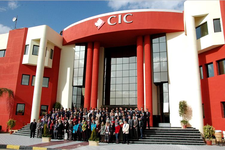
- CIC Front Campus with Employees, CIC Cairo, Public domain
- American University in Cairo, Effeietsanders, CC BY-SA 3.0
- Cairo - Heliopolis - 1973 October War Panorama - entrance, Daniel Mayer, CC BY-SA 4.0
- Children's Civilisation and Creativity Centre, Mallarch, CC BY-SA 3.0
- Tomb of Unknown Soldier Egypt, Wkawalek, CC BY 3.0
- Cathedral of Our Lady of Egypt, Hierarchicus2, CC BY-SA 3.0
- Kathedrale Basiliek van Onze-Lieve-Vrouw van Fatima, Ziqo, CC BY-SA 4.0
- Baselik church, mina medhat lami, CC BY-SA 3.0
- Administration building, Future University in Egypt (New Cairo, Egypt, 28 September 2008), Me, It shows my university campus., CC0
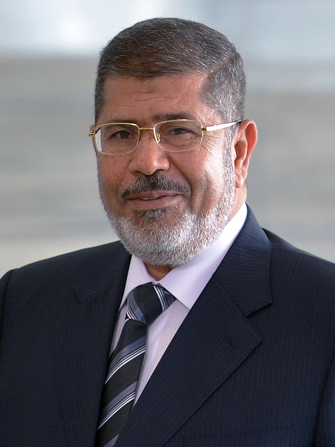
- Mohamed Morsi-05-2013, Wilson Dias/ABr, CC BY 3.0 br
- 30 June Stadium Cairo, Crosskimo at English Wikipedia, Public domain
- Petro Sport Stadium Cairo 2018, Crosskimo at English Wikipedia, Public domain
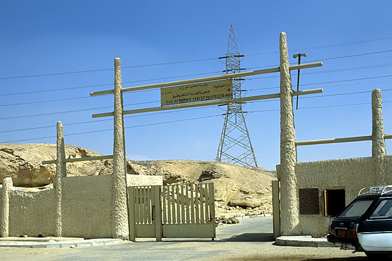
- MaadiForestEntrance, Roland Unger, CC BY-SA 3.0
- British University in Egypt, British University in Egypt, Public domain
- أكاديمية الشروق, www.sha.edu.eg, CC BY-SA 4.0
- الرئيس جمال عبد الناصر, Essam Azouz, CC BY-SA 4.0
- Fruit slice, Annabelle.Joseph, CC BY-SA 4.0
- Concord Plaza Mall, Mohamed Ouda, CC BY-SA 4.0
- Egyptian Banks company, Mohamed Ouda, CC BY-SA 4.0
- Hesham Safwat, HeshSafwat, CC BY-SA 4.0
- صوره شخصية, Moazahmedddd, CC BY-SA 4.0
- Dusit Thani LakeView Cairo, Mohamed Ouda, CC BY-SA 4.0
- FILE438, Mohamedemad4a, CC BY-SA 4.0
- Malasia,shah alam , having some fun, FouadOsama, CC BY-SA 4.0
- تراك ملعب نادى الزهور, Egypt fans club, CC BY-SA 4.0
- منطقة العاب الاطفال فى نادى الزهور, Egypt fans club, CC BY-SA 4.0
- نادى الزهور بالتجمع الخامس, Egypt fans club, CC BY-SA 4.0
- حمام السباحة الترفيهى فى نادى الزهور بالتجمع الخامس, Egypt fans club, CC BY-SA 4.0
- دليل برائة الشهيد محمد جمال المصرى, Tahertetoo, CC BY-SA 4.0
- منطقة العائلات بنادى الزهور بالتجمع الخامس, Egypt fans club, CC BY-SA 4.0
- Fountain and garden at the entrance of the American University in Cairo, Tareknagah, CC BY-SA 3.0
- Per le mie donne back cover, Mark.muehlhaeusler, CC BY-SA 4.0
- Per le mie done front cover, Mark.muehlhaeusler, CC BY-SA 4.0
- Pe le mie donne, page 53, Mark.muehlhaeusler, CC BY-SA 4.0
- Per le mie donne, page 11, Mark.muehlhaeusler, CC BY-SA 4.0


Page built November 8, 2026. Spotted a mistake? Tell us or suggest a place.