



Bahir Dar, Ethiopia
ባሕር-ዳር
Bahir Dar is a regional capital of 350,000 people in Amhara, Ethiopia.
Why visit Bahir Dar
Townapedia lists 8 museums and landmarks, 12 parks and trails, 50 places to eat, 47 places to stay and 8 attractions in and around town.
Highlights include Ethiollywood Entertainment, Bahir Dar University, Martyrs Memorial Monument and Bahir Dar Stadium.
Weather in Bahir Dar
Forecast from MET Norway (CC BY 4.0). Full forecast
About Bahir Dar
Bahir Dar (Amharic: ባሕር ዳር, lit. 'sea shore') is the capital city of Amhara Region, Ethiopia. Bahir Dar is one of the leading tourist destinations in Ethiopia, with a variety of attractions in the nearby Lake Tana and Blue Nile river. The city is known for its wide avenues lined with palm trees and a variety of colorful flowers. In 2002, it was awarded the UNESCO Cities for Peace Prize for addressing the challenges of rapid urbanization.
From the Wikipedia article Bahir Dar (this version), under CC BY-SA 4.0.
Travel tips from other travellers: Bahir Dar on Wikivoyage (CC BY-SA 4.0).
Things to do8


Ethiollywood Entertainment
Cinema and theater · 2.6 km
Bahirdar Yorth Center
24/7

Museums and landmarks8


Kibran St. Gabrael Unity of Monastery Museum
Museum · 7.0 km
Museo para las mujeres

Parks, trails and playgrounds12





Restaurants and cafes50

Checheho Cultural Restaurant
Restaurant · African · 1.0 km
Route 3
Mo-Su 07:00-23:00


38 more on the map.
Where to stay47
Churches and places of worship27
Mahel Bahirdar Meserte kiristos MKC
Place of worship · 1.8 km
Addis Ababa - Bahir Dar Road
Shopping8
Gas and EV charging7
Schools, colleges and libraries24
Healthcare19
Tibebe Ghion Specialized Hospital Bahir Dar University
Hospital · 7.7 km
Mota Road
Map of Bahir Dar
210 places. The map loads OpenStreetMap tiles when you open it.
Getting there and nearby towns
Bahir Dar Dejazmach Belay Zeleke International Airport (BJR) is the nearest airport with scheduled flights listed in OpenStreetMap, 8 km away.
- T’īs Isat 24 km southeast, about 24 min by car
- Mer’āwī 31 km southwest, about 31 min by car
- Ādēt 38 km south, about 38 min by car
- Werota 49 km northeast, about 49 min by car
- Gurbetē 54 km southwest, about 54 min by car
- Dangila 71 km southwest, about 1 h 15 min by car
- Ādīs Zemen 72 km northeast, about 1 h 15 min by car
- Debre Tabor 74 km northeast, about 1 h 15 min by car
- Mot’a 77 km southeast, about 1 h 15 min by car
- Ādīs K’idamē 79 km southwest, about 1 h 15 min by car
Drive times are estimates from straight-line distance, not routes.
Local news
Headlines from INDB.
Reviews, tips and questions
Loading what members have shared...
Sources and licences
- GeoNames (CC BY 4.0): population, coordinates, regions and time zone
- OpenStreetMap contributors (ODbL 1.0): places, airports, map data
- Wikidata (CC0 1.0): elevation, founding date, time zone, website, landmarks and historic places
- Wikimedia Commons (see each image): photos
- Wikipedia (CC BY-SA 4.0): overview and history text
Photo credits
- Bahir Dar 7, O.Mustafin, CC0
- Bahir Dar young men, Damien Halleux Radermecker from PARIS, FRANCE, CC BY-SA 2.0
- The Old Father Bahir Dar, Damien Halleux Radermecker from PARIS, FRANCE, CC BY-SA 2.0
- Two Bahir Dar children, Damien Halleux Radermecker from PARIS, FRANCE, CC BY-SA 2.0
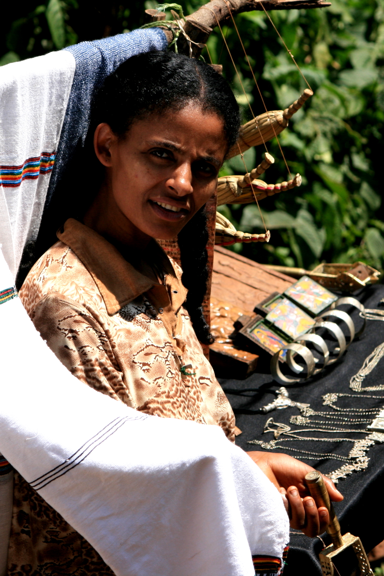
- Bahir Dar woman, Damien Halleux Radermecker from PARIS, FRANCE, CC BY-SA 2.0
- Bahir Dar girl, Damien Halleux Radermecker from PARIS, FRANCE, CC BY-SA 2.0
- Aerial view of Bahir Dar in 1938, Agreement between Ghent University (Belgium), the Ethiopian Mapping Agency (now Ethiopian Geospatial Information Institute) and Mekelle University (Ethiopia), CC BY-SA 4.0
- Bahir Dar University, VOA, Public domain
- Martyrs Memorial Monument - Bahir Dar, AmanuelNega, CC BY-SA 4.0
- Bahir-Dar Stadium, Thomas406501, CC0
- Description needed. (27082687911), cotterillmike, CC0
- ISS012-E-9302 - View of Ethiopia, Earth Science and Remote Sensing Unit , Lyndon B. Johnson Space Center, Public domain
- Entos Eyesus monk 1, Damien Halleux Radermecker from PARIS, FRANCE, CC BY-SA 2.0
- Entos Eyesus monk 2, Damien Halleux Radermecker from PARIS, FRANCE, CC BY-SA 2.0
- Entos Eyesus priest, Damien Halleux Radermecker from PARIS, FRANCE, CC BY-SA 2.0
- Monk opening doors, Damien Halleux Radermecker from PARIS, FRANCE, CC BY-SA 2.0
- Guarded by scouts, Damien Halleux Radermecker from PARIS, FRANCE, CC BY-SA 2.0
- 2009-0726 Oenanthe frenata, LakeTana, Ethiopia, Veli Pohjonen, Public domain
- Healing Hands of Joy-Making Motherhood Safer in Ethiopia, Allison Shigo, CC BY-SA 4.0
- Ethiopian Lady grinding coffee seeds (Jebena Buna), Venkat526, CC BY-SA 4.0


Page built November 4, 2026. Spotted a mistake? Tell us or suggest a place.