

Weather in Dembī Dolo
Forecast from MET Norway (CC BY 4.0). Full forecast
About Dembī Dolo
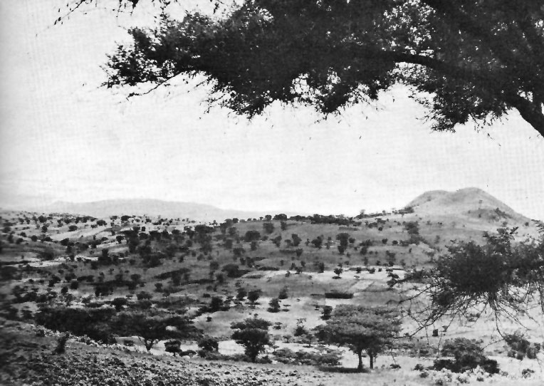
Dembidollo (Oromo: Dambi Doolloo), also spelled Dembi Dolo, is a market town and separate woreda in south-western Ethiopia. It is the capital of Kelam Welega Zone of the Oromia Region. This town, which is at an elevation of between 1,701 m (5,581 ft) and 1,827 m (5,994 ft) above sea level, was originally known as Sayo.
From the Wikipedia article Dembidolo (this version), under CC BY-SA 4.0.
History
Originally known as Sayo, after the semi-autonomous kingdom that had ruled in this area in the years after 1900, by 1920 this town served as the seat of the governors of this part of south-western Ethiopia until the Italian conquest. During this period Dembidolo was "a great commercial centre for coffee, where by the 1930s perhaps 500,000 kilos of beans, besides large quantities of wax and skins, were exported every year to the Sudan." Emperor Iyasu V visited Dembidolo around 1912, and was welcomed by Dejazmach Jote.
By 1958 Dembi Dollo became one of 27 places in Ethiopia ranked as First Class Township. That same year, the Commercial Bank of Ethiopia opened a branch in the town.
The last military action of the Oromo Liberation Front (OLF) before the demise of the Derg in 1991 occurred at Dembi Dollo, when some of its units reportedly killed more than 700 government soldiers. Afterwards, the OLF assumed civilian control of Dembi Dollo and its surrounding territory. However, when the OLF found that their efforts to field candidates in the rest of the Oromia region were frustrated by the Oromo Peoples' Democratic Organization the OLF withdrew from the government in 1992. This proved to be a disaster for the OLF, as EPRDF forces captured Dembi Dollo and forcibly drove the OLF membership into exile.
A modern water supply system was expected to be completed in the town by October 2017.
From the History section of Dembidolo on Wikipedia, under CC BY-SA 4.0.
Map of Dembī Dolo
0 places. The map loads OpenStreetMap tiles when you open it.
Getting there and nearby towns
Dembidollo Airport (DEM) is the nearest airport with scheduled flights listed in OpenStreetMap, 7 km away.
Drive times are estimates from straight-line distance, not routes.
Local news
Headlines from INDB.
Reviews, tips and questions
Loading what members have shared...
Sources and licences
- GeoNames (CC BY 4.0): population, coordinates, regions and time zone
- OpenStreetMap contributors (ODbL 1.0): places, airports, map data
- Wikidata (CC0 1.0): elevation, founding date, time zone, website
- Wikimedia Commons (see each image): photos
- Wikipedia (CC BY-SA 4.0): overview and history text
Photo credits
- Saio heights in Ethiopia, Unknown author Unknown author, Public domain
Page built November 4, 2026. Spotted a mistake? Tell us or suggest a place.