


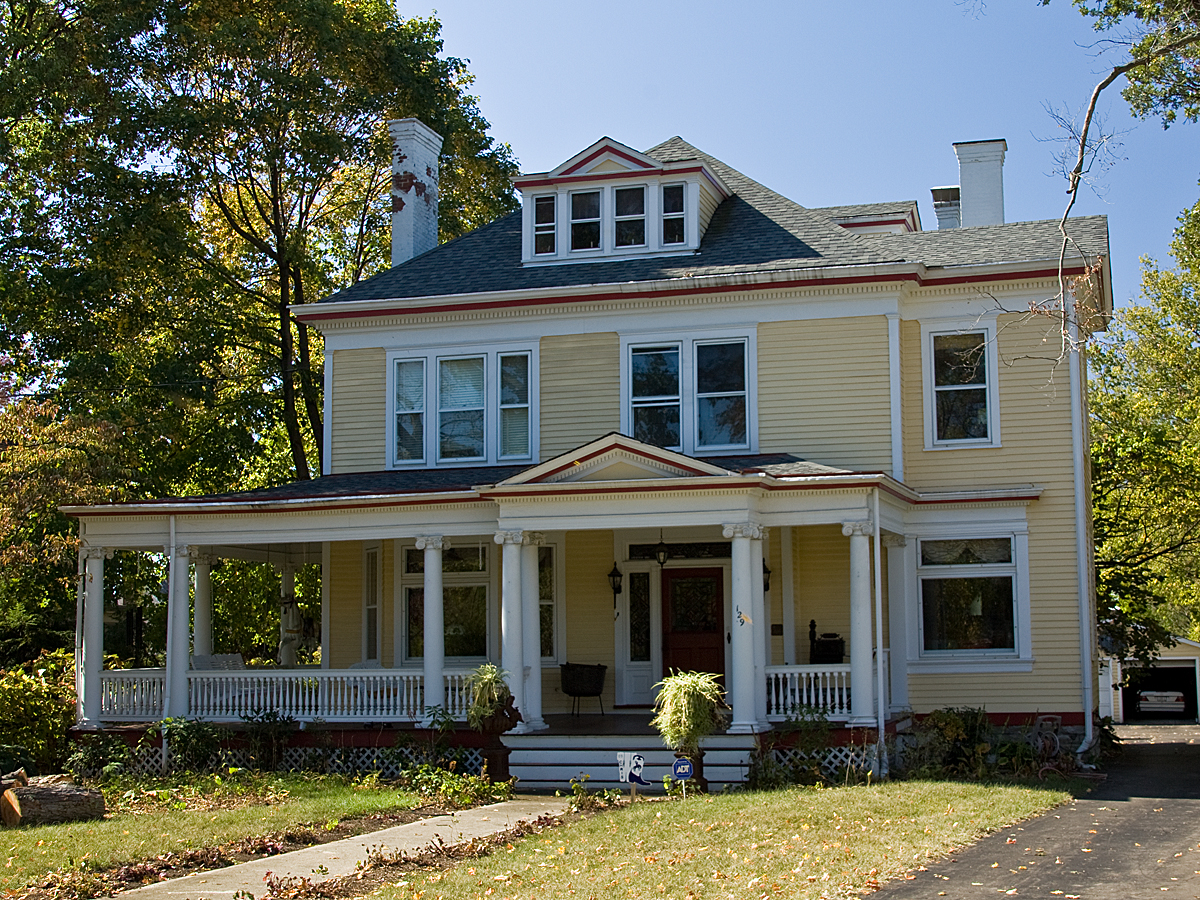
Why visit Evendale
Townapedia lists 38 museums and landmarks, 19 parks and trails, 29 places to eat and 13 places to stay in and around town.
Highlights include Gorman Heritage Farm, Twelve Mile House, French Park and Blue Ash Golf Course.
July is the warmest month, with average highs of 87°F; January lows average 22°F.
Weather in Evendale
Forecast from the National Weather Service. Full forecast
About Evendale
Evendale (pronounced EE-vən-dayl) is a village in Hamilton County, Ohio, United States, within the Cincinnati metropolitan area. The population was 2,669 at the 2020 census.
From the Wikipedia article Evendale, Ohio (this version), under CC BY-SA 4.0.
Museums and landmarks38

Gorman Heritage Farm
Monument and historic site · National Register of Historic Places · 0.6 mi
Working farm museum in Evendale, Ohio, United States
10052 Reading Road, Evendale

Twelve Mile House
Monument and historic site · National Register of Historic Places · 1.4 mi
Historic house in Ohio, United States
11006 Reading Road, Sharonville

Benham Mound
Monument and historic site · National Register of Historic Places · 3.9 mi
Archaeological site in Ohio, United States

Blair House
Monument and historic site · National Register of Historic Places · 3.9 mi
Historic house in Montgomery, Ohio, United States

Burchenal Mound
Monument and historic site · National Register of Historic Places · 2.6 mi
Archaeological site in Ohio, United States

Charles Fay House
Monument and historic site · National Register of Historic Places · 3.2 mi
Historic house in Ohio, United States

Charles H. Moore House
Monument and historic site · National Register of Historic Places · 2.7 mi
Wyoming, Ohio, NRHP-listed

Charles Woodruff House
Monument and historic site · National Register of Historic Places · 3.1 mi
Historic house in Ohio, United States

Edward R. Stearns House
Monument and historic site · National Register of Historic Places · 3.1 mi
Historic house in Ohio, United States

Elmer Hess House
Monument and historic site · National Register of Historic Places · 3.1 mi
Historic house in Ohio, United States

Gerald B. and Beverley Tonkens House
Monument and historic site · National Register of Historic Places · 3.9 mi
Historic house in Ohio, United States


Glendale Historic District
Monument and historic site · National Register of Historic Places · 2.4 mi
Historic district in Glendale, Ohio
26 more on the map.
Parks, trails and playgrounds19

French Park
Park · 3.6 mi
Public park in Amberley, Ohio, United States


7 more on the map.
Restaurants and cafes29

Brown Dog Cafe
Restaurant · American, Breakfast, Brunch, Lunch · 2.2 mi
4335 Glendale Milford Road, Cincinnati
Mo-Th 07:30-21:00; Fr 07:30-22:00; Sa 10:00-22:00; Su 10:00-15:00
Jim Dandy’s Family BBQ
Restaurant · Barbecue · 1.4 mi
2343 East Sharon Road, Sharonville
Mo-Sa 11:00-21:00, Su 11:00-18:00
Senate Blue Ash
Restaurant · American, Hot Dog · 2.2 mi
1100 Summit Place Drive, Blue Ash
Tu-Sa 11:00-22:00; Su 11:00-21:00
Skyline Chili
Restaurant · Chili · 1.3 mi
2511 East Sharon Road, Sharonville
Mo-Sa 10:00-22:00, Su 10:00-21:00
Tahona Kitchen + Bar
Restaurant · Mexican, Tacos · 2.2 mi
1100 Summit Place, Blue Ash
Mo-Th 11:00-22:00; Fr-Sa 11:00-23:00; Su 11:00-21:00

MadTree Parks & Rec
Restaurant · Pizza, American, Brunch · 2.1 mi
Mo-Th 11:00-22:00; Fr 11:00-23:00; Sa 10:00-23:00; Su 10:00-22:00; PH off
17 more on the map.
Where to stay13

Quality Inn & Suites Cincinnati Sharonville
Motel and hotel · 1.3 mi
2463 East Sharon Road, Sharonville
Delta Hotels by Marriott Cincinnati Sharonville
Motel and hotel · 2.2 mi
11320 Chester Road, Cincinnati
Comfort Inn & Suites
Motel and hotel · 1.7 mi
11160 Dowlin Drive, Sharonville
Tru by Hilton Sharonville Cincinnati
Motel and hotel · 1.7 mi
11155 Dowlin Drive, Cincinnati
1 more on the map.
Churches and places of worship24
Wyoming Presbyterian Church
Church · National Register of Historic Places · 2.7 mi
BAPS Shri Swaminarayan Mandir
Place of worship · Baps · 1.9 mi
1 BAPS Drive, Cincinnati
Shopping4
Gas and EV charging6
Schools, colleges and libraries58
Academy For Multilingual Immersion Studies
School · 4.7 mi
1908 Seymour Ave, Cincinnati
Healthcare3
Map of Evendale
194 places. The map loads OpenStreetMap tiles when you open it.
Climate by month
Monthly table
| Month | High | Low | Rain |
|---|---|---|---|
| Jan | 39°F | 22°F | 3.3 in |
| Feb | 43°F | 24°F | 3.0 in |
| Mar | 54°F | 31°F | 3.9 in |
| Apr | 66°F | 41°F | 4.7 in |
| May | 76°F | 51°F | 4.9 in |
| Jun | 84°F | 61°F | 4.6 in |
| Jul | 87°F | 64°F | 3.9 in |
| Aug | 86°F | 63°F | 3.0 in |
| Sep | 80°F | 54°F | 3.2 in |
| Oct | 68°F | 42°F | 3.2 in |
| Nov | 55°F | 33°F | 3.2 in |
| Dec | 43°F | 26°F | 3.4 in |
U.S. Climate Normals 1991-2020 for Milford (9 mi away), rain and snow from Cincinnati 8.9 Nw, NOAA NCEI.
People and cost of living
American Community Survey 5-year estimates, 2020-2024, U.S. Census Bureau. Estimates have margins of error, larger for small towns.
Disaster history
Hamilton County has had 11 federal disaster declarations since 2000, most often for severe storms.
- 2026-10-02: Severe Storms, Straight-Line Winds, Tornadoes, Flooding, And Landslides (Flood)
- 2020-03-31: Covid-19 Pandemic (Biological)
- 2020-03-13: Covid-19 (Biological)
- 2018-04-17: Severe Storms, Landslides, And Mudslides (Flood)
- 2012-06-30: Severe Storms (Severe Storm)
- 2011-07-13: Severe Storms And Flooding (Severe Storm)
OpenFEMA disaster declarations summaries.
Getting there and nearby towns
Butler County Regional Airport (HAO) is the nearest airport with scheduled flights listed in OpenStreetMap, 9 miles away.
- Reading 2 mi south, about 3 min by car
- Blue Ash 2 mi east, about 3 min by car
- Sharonville 2 mi northeast, about 4 min by car
- Springdale 4 mi northwest, about 6 min by car
- Montgomery 4 mi east, about 7 min by car
- Finneytown 5 mi southwest, about 9 min by car
- Forest Park 6 mi northwest, about 9 min by car
- Elmwood Place 6 mi southwest, about 9 min by car
- Norwood 6 mi south, about 10 min by car
- Cincinnati 9 mi southwest, about 14 min by car
Drive times are estimates from straight-line distance, not routes.
Local news
Headlines from INDB, the NEMICO news database.
Reviews, tips and questions
Loading what members have shared...
Sources and licences
- NCES EDGE (Public domain): public schools
- NOAA NCEI U.S. Climate Normals 1991-2020 (Public domain): climate by month
- OpenFEMA (Public domain): disaster declarations
- OpenStreetMap contributors (ODbL 1.0): places, airports, map data
- U.S. Census Bureau (Public domain): population, income, housing, education, commute
- Wikidata (CC0 1.0): elevation, founding date, time zone, website, landmarks and historic places
- Wikimedia Commons (see each image): photos
- Wikipedia (CC BY-SA 4.0): overview and history text
Photo credits
- Brown-Gorman Farm barn, Nyttend, Public domain
- 12MileHouse, Photo by Greg Hume ( Greg5030 ), CC BY-SA 3.0
- Blair House Montgomery OH USA, Ed! ( Photography ), CC BY-SA 3.0
- Wilder-Swaim House, Nyttend, Public domain
- Ornate houses on Wyoming Avenue, Nyttend, Public domain
- WCRetszchHouseLR, Photo by Greg Hume ( Greg5030 ), CC BY 3.0
- JohnPollockHouse, Photo by Greg Hume ( Greg5030 ), CC BY-SA 3.0
- Woods with the Benham Mound, Nyttend, Public domain
- JohnTangemanHouseLR, Photo by Greg Hume ( Greg5030 ), CC BY 3.0
- JosiahKirbyHouse, Photo by Greg Hume ( Greg5030 ), CC BY 3.0
- Burchenal Mound from the south, Nyttend, Public domain
- Gerald B. and Beverley Tonkens House, May 2011, User:Jaydec, CC BY-SA 3.0
- Glendale OH shops, User:Bedford, Public domain
- James Baxter House, Nyttend, Public domain
- Twin Oaks, Robert Reily House, Nyttend, Public domain
- WyomingPresbyterianChurchLR, Photo by Greg Hume ( Greg5030 ), CC BY 3.0
- JacobBromwellHouseLR, Photo by Greg Hume ( Greg5030 ), CC BY 3.0
- CharlesHMooreHouse, Photo by Greg Hume ( Greg5030 ), CC BY 3.0
- LouisSawyerHouseLR, Photo by Greg Hume ( Greg5030 ), CC BY 3.0
- LuethstromHurinHouseLR, Photo by Greg Hume ( Greg5030 ), CC BY 3.0
- JosephWBaldwinHouseLR, Photo by Greg Hume ( Greg5030 ), CC BY 3.0
- Bandstand and World War One Memorial in Veterans Park, Margaretw1020, CC BY-SA 4.0
- CharlesFayHouseLR, Photo by Greg Hume ( Greg5030 ), CC BY 3.0
- RiddleFriendHouseLR, Photo by Greg Hume ( Greg5030 ), CC BY 3.0
- ProfessorWilliamPabodieHouse, Photo by Greg Hume ( Greg5030 ), CC BY 3.0
- GlendalePolice, Photo by Greg Hume ( Greg5030 ), CC BY-SA 3.0
- WilliamStearnsHouseLR, Photo by Greg Hume ( Greg5030 ), CC BY 3.0
- CharlesWoodruffHouse, Photo by Greg Hume ( Greg5030 ), CC BY-SA 3.0
- ElmerHessHouseLR, Photo by Greg Hume ( Greg5030 ), CC BY 3.0
- EdwardStearnsHouseLR, Photo by Greg Hume ( Greg5030 ), CC BY 3.0
- Staphylus hayhurstii 156573133, kcthetc1, CC0
- St. Rita School for the Deaf building, daveynin from United States, CC BY 2.0
- 20211209-OSEC-BD-0002 (51734737457), U.S. Department of Agriculture Brooke DeCubellis./FPAC/USDA photo by Brooke DeCubellis., Public domain
- 20211209-OSEC-BD-0001 (51736206969), U.S. Department of Agriculture Brooke DeCubellis./FPAC/USDA photo by Brooke DeCubellis., Public domain
- 20211209-OSEC-BD-0004 (51735564416), U.S. Department of Agriculture Brooke DeCubellis./FPAC/USDA photo by Brooke DeCubellis., Public domain
- 20211209-OSEC-BD-0003 (51735796053), U.S. Department of Agriculture Brooke DeCubellis./FPAC/USDA photo by Brooke DeCubellis., Public domain
- 20211209-OSEC-BD-0006 (51736206634), U.S. Department of Agriculture Brooke DeCubellis./FPAC/USDA photo by Brooke DeCubellis., Public domain
- Mathew Mound from Oak Road, Nyttend, Public domain
- Steffen west of McIntyre, Lincoln Heights, Nyttend, Public domain
- Mount Moriah Missionary Baptist Church, Lincoln Heights, Nyttend, Public domain


Page built October 30, 2026. Spotted a mistake? Tell us or suggest a place.