






Why visit Fulshear
Townapedia lists 6 museums and landmarks, 9 parks and trails, 53 places to eat and 2 attractions in and around town.
Highlights include Xscape Theaters and Kiddie Waterpark at Cross Creek Ranch Adventure Island.
Weather in Fulshear
Forecast from the National Weather Service. Full forecast
About Fulshear
Fulshear is a city in northwestern Fort Bend County, Texas, United States, and is located on the western edge of the Houston–Pasadena–The Woodlands metropolitan area. The population was 16,856 as of the 2020 census, and according to 2025 census estimates, the city is estimated to have a population of 64,630.
From the Wikipedia article Fulshear, Texas (this version), under CC BY-SA 4.0.
Things to do2

Museums and landmarks6

Parks, trails and playgrounds9

Kiddie Waterpark at Cross Creek Ranch Adventure Island
Sports field and stadium · 1.0 mi
6450 Cross Creek Bend Lane, Fulshear


Restaurants and cafes53

La Balance Cafe
Restaurant · Mexican · 0.9 mi
8050 FM 359 RD South, Fulshear
Tu-Sa 07:00-20:00, Su 08:00-16:00
Pepperoni’s
Restaurant · Pizza · 1.0 mi
8510 FM 359
Mo-Th 11:00-21:30; Fr,Sa 11:00-22:00; Su 11:00-21:30

Pier 36 Seafood Restaurant & Oyster Bar
Restaurant · 1.0 mi
8502 FM 359
Mo-Th 11:00-21:00; Fr,Sa 11:00-22:00
Hacienda Real Mexican Grill & Cantina
Restaurant · Mexican · 2.3 mi
11605 Fry Road, Fulshear
Mo-Th 11:00-21:30, Fr-Sa 11:00-22:00, Su 11:00-21:00
Ling's Restaurant
Restaurant · Chinese · 3.2 mi
4603 FM 1463, Katy
Mo-Su 11:00-22:00
41 more on the map.
Churches and places of worship7
Shopping7
Gas and EV charging5
Schools, colleges and libraries44
Fort Bend County Libraries - Fulshear Branch
Library
6350 Gm Library Rd, Fulshear
Healthcare4
Map of Fulshear
137 places. The map loads OpenStreetMap tiles when you open it.
People and cost of living
American Community Survey 5-year estimates, 2020-2024, U.S. Census Bureau. Estimates have margins of error, larger for small towns.
Disaster history
Fort Bend County has had 22 federal disaster declarations since 2000, most often for hurricanes.
- 2024-07-09: Hurricane Beryl (Hurricane)
- 2021-02-19: Severe Winter Storms (Severe Ice Storm)
- 2021-02-14: Severe Winter Storm (Severe Ice Storm)
- 2020-08-24: Tropical Storms Marco And Laura (Hurricane)
- 2020-07-26: Hurricane Hanna (Hurricane)
- 2020-03-25: Covid-19 Pandemic (Biological)
OpenFEMA disaster declarations summaries.
Getting there and nearby towns
Sugar Land Regional Airport (SGR) is the nearest airport with scheduled flights listed in OpenStreetMap, 15 miles away.
- Cinco Ranch 8 mi east, about 13 min by car
- Four Corners 14 mi east, about 22 min by car
- Sugar Land 17 mi southeast, about 27 min by car
- Bellaire 26 mi east, about 41 min by car
- Fresno 27 mi southeast, about 44 min by car
- Houston 30 mi east, about 49 min by car
- Aldine 34 mi northeast, about 54 min by car
- Pearland 35 mi east, about 57 min by car
- The Woodlands 40 mi northeast, about 1 h by car
- Pasadena 44 mi east, about 1 h 15 min by car
Drive times are estimates from straight-line distance, not routes.
Local news
Headlines from INDB, the NEMICO news database.
Reviews, tips and questions
Loading what members have shared...
Sources and licences
- NCES EDGE (Public domain): public schools
- OpenFEMA (Public domain): disaster declarations
- OpenStreetMap contributors (ODbL 1.0): places, airports, map data
- U.S. Census Bureau (Public domain): population, income, housing, education, commute
- Wikidata (CC0 1.0): elevation, founding date, time zone, website
- Wikimedia Commons (see each image): photos
- Wikipedia (CC BY-SA 4.0): overview and history text
Photo credits
- Fulshear TX Fire Dept, Djmaschek, CC BY-SA 4.0
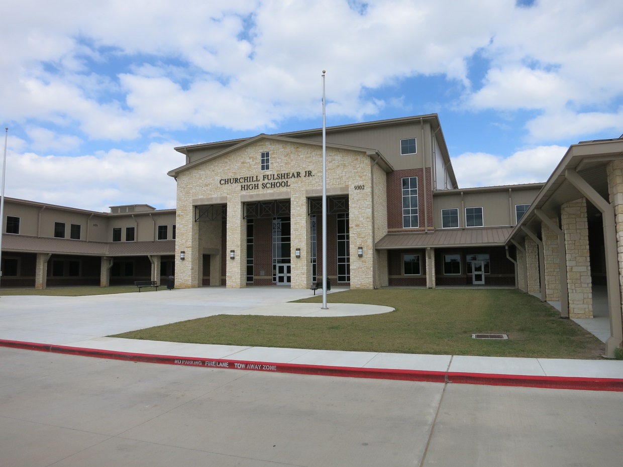
- Lamar CISD Fulshear High School, Djmaschek, CC BY-SA 4.0
- Fulshear TX Lutts Library, Djmaschek, CC BY-SA 4.0
- Fulshear TX City Hall, Djmaschek, CC BY-SA 4.0
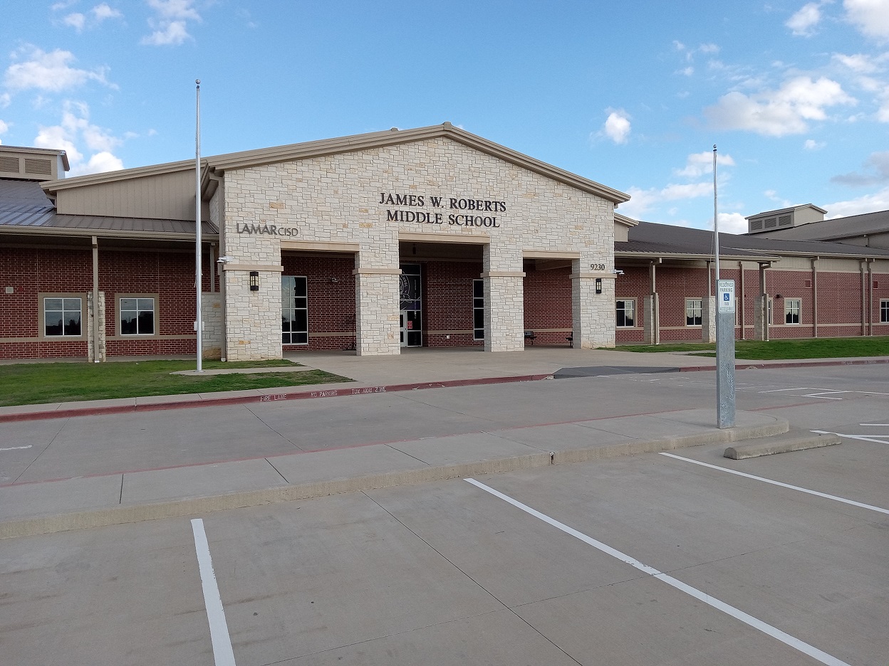
- Lamar CISD Roberts Middle School, Djmaschek, CC0
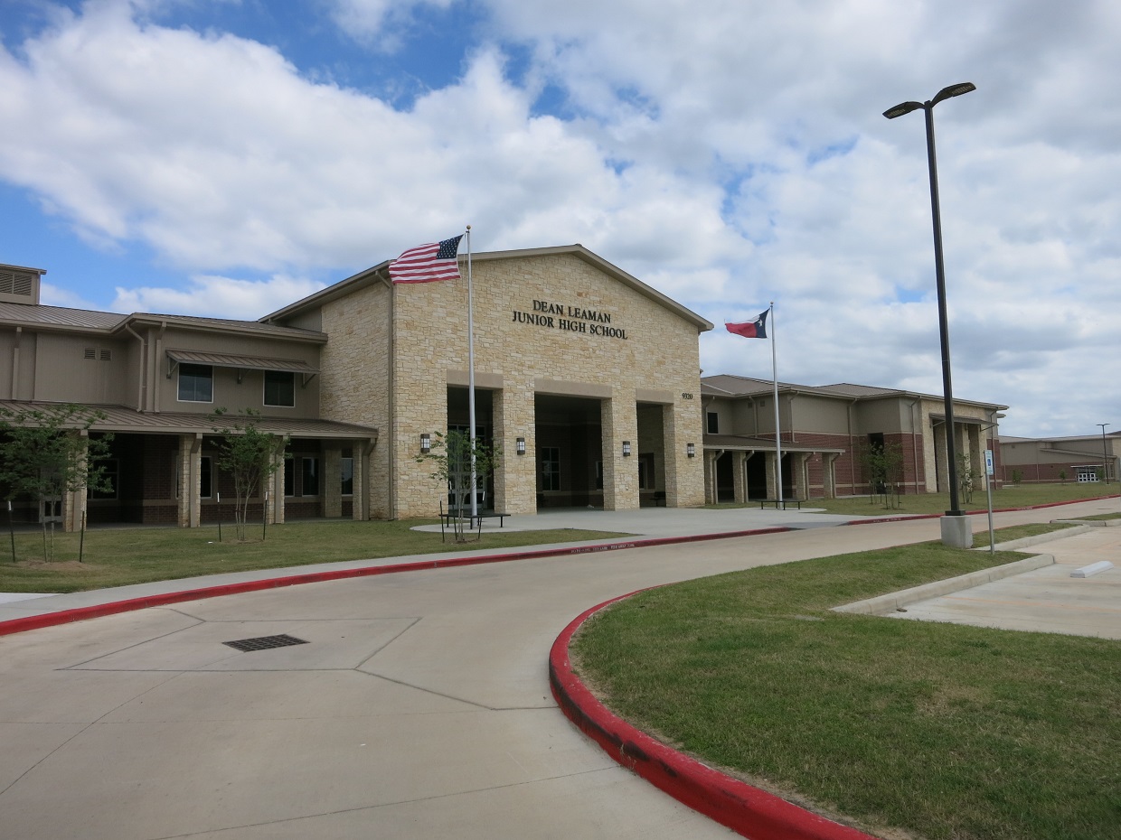
- Lamar CISD Leaman Jr High School, Djmaschek, CC BY-SA 4.0
- Lamar CISD Huggins Elem School, Djmaschek, CC BY-SA 4.0
- TriadicaSebifera1, Douglas Goldman, CC BY-SA 4.0
- TriadicaSebifera8, Douglas Goldman, CC BY-SA 4.0
- TriadicaSebifera2, Douglas Goldman, CC BY-SA 4.0
- TriadicaSebifera9, Douglas Goldman, CC BY-SA 4.0
- ISS040-E-42754 - View of Earth, Earth Science and Remote Sensing Unit , Lyndon B. Johnson Space Center, Public domain
- TriadicaSebifera10, Douglas Goldman, CC BY-SA 4.0
- ISS059-E-36308 - View of Earth, Earth Science and Remote Sensing Unit, NASA Johnson Space Center, Public domain
- TriadicaSebifera7, Douglas Goldman, CC BY-SA 4.0
- ISS040-E-42755 - View of Earth, Earth Science and Remote Sensing Unit , Lyndon B. Johnson Space Center, Public domain
- TriadicaSebifera6, Douglas Goldman, CC BY-SA 4.0
- ISS057-E-126007 - View of Earth, Earth Science and Remote Sensing Unit, NASA Johnson Space Center, Public domain
- TriadicaSebifera5, Douglas Goldman, CC BY-SA 4.0
- TriadicaSebifera11, Douglas Goldman, CC BY-SA 4.0
- ISS020-E-36240 - View of Texas, Earth Science and Remote Sensing Unit , Lyndon B. Johnson Space Center, Public domain
- TriadicaSebifera4, Douglas Goldman, CC BY-SA 4.0
- TriadicaSebifera3, Douglas Goldman, CC BY-SA 4.0
- TriadicaSebifera12, Douglas Goldman, CC BY-SA 4.0
- Lamar CISD Tamarron Elementary, Djmaschek, CC0


Page built October 30, 2026. Spotted a mistake? Tell us or suggest a place.