


Why visit Maumere
Townapedia lists 5 museums and landmarks, 1 park or trail, 9 places to eat, 8 places to stay and 1 attraction in and around town.
Weather in Maumere
Forecast from MET Norway (CC BY 4.0). Full forecast
About Maumere
Maumere is the administrative seat of the Sikka Regency and the second largest town (its nominal population has recently overtaken Ende, but of these over 10,500 live in rural areas on outlying islands) on Flores Island, Indonesia. It lies on the north coast of the island and the port is in the north-west part of the town. Administratively, the town is not a single district (kecamatan) within the regency, but is divided into three districts, namely Alok Barat (West Alok), Alok, and Alok Timur (East Alok), although the latter two districts also include a number of substantial islands off the north coast of Flores.
From the Wikipedia article Maumere (this version), under CC BY-SA 4.0.
Travel tips from other travellers: Maumere on Wikivoyage (CC BY-SA 4.0).
Things to do1

Museums and landmarks5

Parks, trails and playgrounds1

Restaurants and cafes9


Where to stay8
Churches and places of worship4
Shopping3
Gas and EV charging2
Schools, colleges and libraries1
Healthcare1
Map of Maumere
35 places. The map loads OpenStreetMap tiles when you open it.
Getting there and nearby towns
Fransiskus Xaverius Seda Airport (MOF) is the nearest airport with scheduled flights listed in OpenStreetMap, 4 km away.
- Ende 65 km west, about 1 h by car
Drive times are estimates from straight-line distance, not routes.
Local news
Headlines from INDB.
Reviews, tips and questions
Loading what members have shared...
Sources and licences
- GeoNames (CC BY 4.0): population, coordinates, regions and time zone
- OpenStreetMap contributors (ODbL 1.0): places, airports, map data
- Wikidata (CC0 1.0): elevation, founding date, time zone, website
- Wikimedia Commons (see each image): photos
- Wikipedia (CC BY-SA 4.0): overview and history text
Photo credits
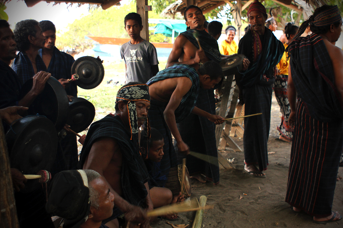
- Hegong Dance Music, Pande Putu Hadi Wiguna, Public domain
- Hegong Dance - The Dancers, Pande Putu Hadi Wiguna, Public domain
- Hegong Dance - action, Pande Putu Hadi Wiguna, Public domain
- Beru Beach - panoramio, Abdi Zhie, CC BY-SA 3.0
Page built November 3, 2026. Spotted a mistake? Tell us or suggest a place.