


Why visit Parapat
Townapedia lists 1 museum or landmark, 1 park or trail, 5 places to eat and 14 places to stay in and around town.
Weather in Parapat
Forecast from MET Norway (CC BY 4.0). Full forecast
About Parapat
Parapat is a small town and port in North Sumatra province on the edge of Lake Toba, on the Uluan Peninsula where it forms the closest point to Samosir Island. It is the primary transit point by ferry for visitors going across the lake to Samosir Island. The town had a population of 12,707 as at mid 2024 (comprising the three kelurahan of Parapat, Tigaraja and Girsang).
From the Wikipedia article Parapat (this version), under CC BY-SA 4.0.
Travel tips from other travellers: Parapat on Wikivoyage (CC BY-SA 4.0).
Museums and landmarks1

Parks, trails and playgrounds1

Restaurants and cafes5


Where to stay14



2 more on the map.
Churches and places of worship1
Gas and EV charging1
Healthcare1
Map of Parapat
24 places. The map loads OpenStreetMap tiles when you open it.
Getting there and nearby towns
Sibisa Airport (SIW) is the nearest airport with scheduled flights listed in OpenStreetMap, 7 km away.
- Tomok Bolon 8 km west, about 8 min by car
- Tuktuk Sonak 9 km west, about 9 min by car
- Ambarita 12 km west, about 12 min by car
- Nainggolan 26 km south, about 26 min by car
- Pangururan 27 km west, about 27 min by car
- Parmonangan 32 km southeast, about 32 min by car
- Pematangsiantar 36 km northeast, about 36 min by car
- Paropo 51 km northwest, about 51 min by car
- Tongging 53 km northwest, about 53 min by car
- Pekan Bahapal 57 km northeast, about 57 min by car
Drive times are estimates from straight-line distance, not routes.
Local news
Headlines from INDB.
Reviews, tips and questions
Loading what members have shared...
Sources and licences
- GeoNames (CC BY 4.0): population, coordinates, regions and time zone
- OpenStreetMap contributors (ODbL 1.0): places, airports, map data
- Wikidata (CC0 1.0): elevation, founding date, time zone, website
- Wikimedia Commons (see each image): photos
- Wikipedia (CC BY-SA 4.0): overview and history text
Photo credits
- Parapat-harbor 09N9196, Nomo michael hoefner / http://www.zwo5.de, CC BY-SA 3.0
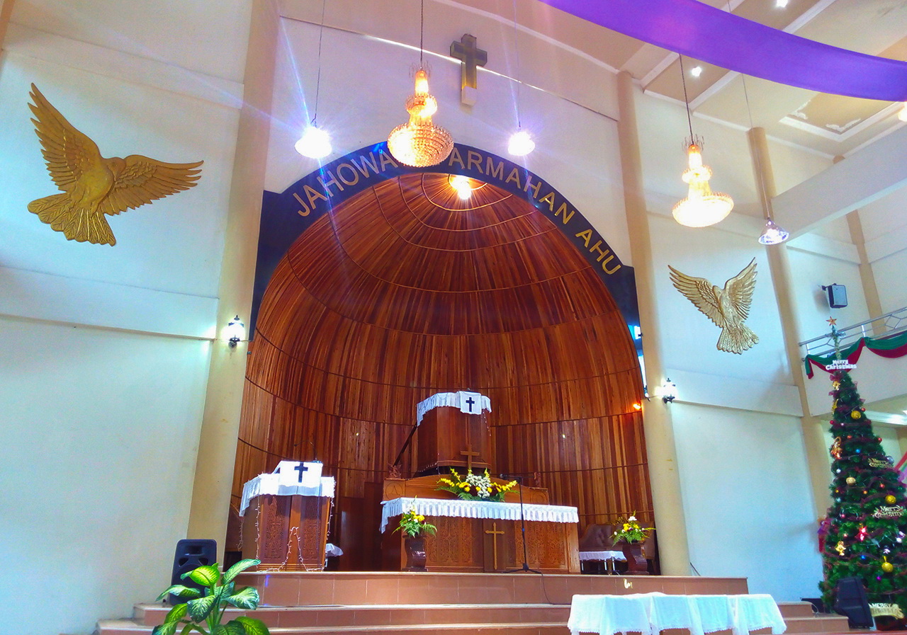
- HKBP Parapat, Resort Parapat 08, Christian Advs Sltg, CC BY-SA 4.0
- HKBP Parapat, Resort Parapat 04, Christian Advs Sltg, CC BY-SA 4.0
- HKBP Parapat, Resort Parapat 06, Christian Advs Sltg, CC BY-SA 4.0
- HKBP Parapat, Resort Parapat 03, Christian Advs Sltg, CC BY-SA 4.0
- HKBP Parapat, Resort Parapat 05, Christian Advs Sltg, CC BY-SA 4.0
- HKBP Parapat, Resort Parapat 07, Christian Advs Sltg, CC BY-SA 4.0
- Ruang Terbuka Publik Parapat (I), Frendy Aldo Tobing, CC BY-SA 4.0
- HKBP Parapat, Resort Parapat 02, Christian Advs Sltg, CC BY-SA 3.0
- HKBP Parapat, Resort Parapat 01, Christian Advs Sltg, CC BY-SA 3.0
- Parapat - panoramio, hotmahtg, CC BY-SA 3.0
- Kel. Parapat, Girsang Sipangan Bolon, Simalungun, Christian Advs Sltg, CC BY-SA 4.0
- Lake Toba; View of Parapat from Lake Toba 08, Christian Advs Sltg, CC BY-SA 3.0
- Lake Toba; View of Parapat from Lake Toba 06, Christian Advs Sltg, CC BY-SA 3.0
- Lake Toba; View of Parapat from Lake Toba 07, Christian Advs Sltg, CC BY-SA 3.0
- Lake Toba; View of Parapat from Lake Toba 09, Christian Advs Sltg, CC BY-SA 3.0
- Panorama of Parapat seen from Lake Toba 01, Christian Advs Sltg, CC BY-SA 3.0
- Parapat banner, Christian Advs Sltg, CC BY-SA 3.0
- Panorama of Parapat seen from Lake Toba 02, Christian Advs Sltg, CC BY-SA 3.0
- Pohon pinus di tepi Danau Toba, difoto dari Panatapan, Parapat, Sumatera Utara, Sophia Guevara, CC BY-SA 4.0
- Ferry-ferry di danau Toba " - panoramio, JS Barry, CC BY 3.0
- Kecamatan Ajibata, Toba Samosir, Christian Advs Sltg, CC BY-SA 4.0
- Welcome Gate To Ajibata, Toba Samosir, Christian Advs Sltg, CC BY-SA 3.0
- Papan nama pelabuhan ajibata, Nafisathallah, CC BY-SA 4.0
- Octavianus Samosir, Octavianus Samosir, CC BY-SA 4.0
- Desa Pardamean Ajibata, Ajibata, Toba Samosir, Christian Advs Sltg, CC BY-SA 4.0
- Kel. Tiga Raja, Girsang Sipangan Bolon, Simalungun, Christian Advs Sltg, CC BY-SA 4.0
- 2000 -309-34 Sumatra Lake Toba, Dan Lundberg, CC BY-SA 2.0
- On ferry on the Lake Toba, Sumatra 2000, Dan Lundberg, CC BY-SA 2.0
- HKBP Ajibata, Res. Ajibata, Christian Advs Sltg, CC BY-SA 4.0
- View of Ajibata Harbor - panoramio, Nuel Nababan, CC BY-SA 3.0
- Lake Toba - panoramio, hotmahtg, CC BY-SA 3.0
- Centre of the view, Jessica Saragih, CC BY-SA 4.0
- Floating Christmas tree on Toba Lake " - panoramio, JS Barry, CC BY 3.0
- Istana Sukarno tepian D.Toba " - panoramio, JS Barry, CC BY 3.0
- Ferry Port in Ajibata, Toba Samosir (3), Christian Advs Sltg, CC BY-SA 3.0
- Ferry Port in Ajibata, Toba Samosir (2), Christian Advs Sltg, CC BY-SA 3.0
- Ferry Port in Ajibata, Toba Samosir (1), Christian Advs Sltg, CC BY-SA 3.0
- Kel. Parsaoran Ajibata, Ajibata, Toba Samosir, Christian Advs Sltg, CC BY-SA 4.0
- Lake Toba; Hill near Ajibata, Christian Advs Sltg, CC BY-SA 3.0


Page built November 3, 2026. Spotted a mistake? Tell us or suggest a place.