
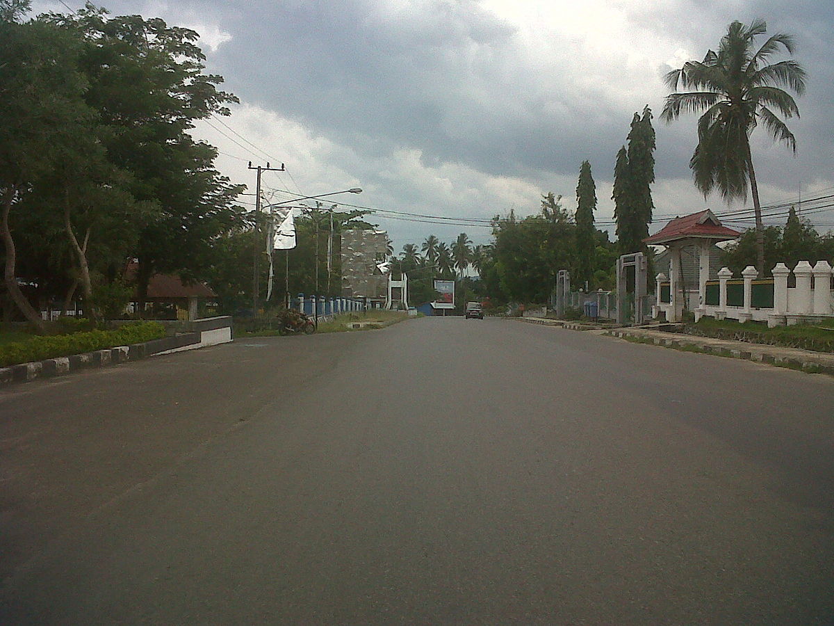

Why visit Raha
Townapedia lists 1 museum or landmark, 1 park or trail, 1 place to eat and 1 place to stay in and around town.
Highlights include Museum Bharugano Wuna.
Weather in Raha
Forecast from MET Norway (CC BY 4.0). Full forecast
About Raha
Raha is the main town and port on Muna Island, Southeast Sulawesi, Indonesia. Raha is the capital of Muna Regency.
From the Wikipedia article Raha, Muna (this version), under CC BY-SA 4.0.
Museums and landmarks1

Museum Bharugano Wuna
Museum · 1.0 km
Jalan By Pass Raha, Kabupaten Muna
Mo-Fr 08:00-17:00
Parks, trails and playgrounds1

Restaurants and cafes1

Where to stay1

History
Raha town was founded in 1906 by the Dutch Colonial Government, and at the same time became the capital of the Muna (Wuna) Kingdom which was moved from Kotano Wuna. The regime of Raja Muna La Ode Ngkalili was overthrown, with the appointment of La Ode Ahmad as the Netherlands appointee in Muna. Economic development followed in 1910, with construction of the central market in 1920, construction of air infrastructure and facilities in 1930, and construction of cotton plants in 1937. During the Japanese occupation of 1942–1945, Raha was the seat of the Bunken Muna government. On 14 July 1959, Raha officially became the capital of Muna Regency. In 2015, the Indonesian Government was considering proposals to separate Raha from Muna Regency and establish it as an autonomous city within Southeast Sulawesi.
From the History section of Raha, Muna on Wikipedia, under CC BY-SA 4.0.
Map of Raha
4 places. The map loads OpenStreetMap tiles when you open it.
Getting there and nearby towns
Sugimanuru Muna Airport (RAQ) is the nearest airport with scheduled flights listed in OpenStreetMap, 19 km away.
Drive times are estimates from straight-line distance, not routes.
Local news
Headlines from INDB.
Reviews, tips and questions
Loading what members have shared...
Sources and licences
- GeoNames (CC BY 4.0): population, coordinates, regions and time zone
- OpenStreetMap contributors (ODbL 1.0): places, airports, map data
- Wikidata (CC0 1.0): elevation, founding date, time zone, website
- Wikimedia Commons (see each image): photos
- Wikipedia (CC BY-SA 4.0): overview and history text
Photo credits
- Jalan Protokol, id:user:Arsil sadaq, CC BY-SA 3.0
Page built November 3, 2026. Spotted a mistake? Tell us or suggest a place.