


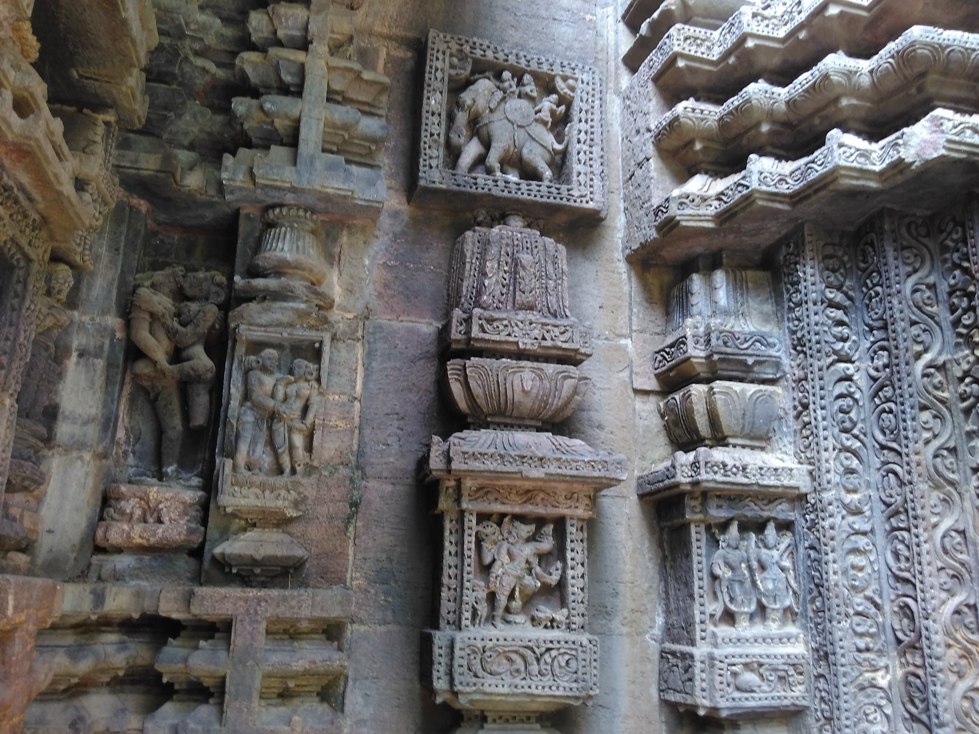


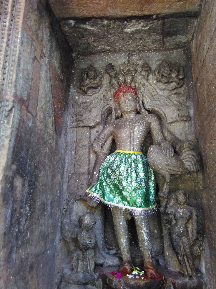


Why visit Bānapur
Townapedia lists 2 museums and landmarks in and around town.
Highlights include Banpur.
Weather in Bānapur
Forecast from MET Norway (CC BY 4.0). Full forecast
About Bānapur
Banapur is a town and a Notified Area Council in Khordha district in the state of Odisha, India. The town is named after the King Banasura of Lord Shri Krishna era (as the epic tells).
From the Wikipedia article Banapur (this version), under CC BY-SA 4.0.
Museums and landmarks2

Churches and places of worship5

Schools, colleges and libraries2

Map of Bānapur
9 places. The map loads OpenStreetMap tiles when you open it.
Getting there and nearby towns
Biju Patnaik International Airport (BBI) is the nearest airport with scheduled flights listed in OpenStreetMap, 85 km away.
- Bālugān 7 km southeast, about 7 min by car
- Dungamal 11 km south, about 11 min by car
- Pathar 15 km south, about 15 min by car
- Khallikot 21 km southwest, about 21 min by car
- Kodala 30 km southwest, about 30 min by car
- Rambha 30 km south, about 30 min by car
- Chhatrapur 51 km southwest, about 51 min by car
- Brahmapur 65 km southwest, about 1 h by car
- Puri 69 km east, about 1 h 15 min by car
- Bhubaneswar 88 km northeast, about 1 h 30 min by car
Drive times are estimates from straight-line distance, not routes.
Local news
Headlines from INDB.
Reviews, tips and questions
Loading what members have shared...
Sources and licences
- GeoNames (CC BY 4.0): population, coordinates, regions and time zone
- OpenStreetMap contributors (ODbL 1.0): places, airports, map data
- Wikidata (CC0 1.0): elevation, founding date, time zone, website
- Wikimedia Commons (see each image): photos
- Wikipedia (CC BY-SA 4.0): overview and history text
Photo credits
- DakhshyaPrajapatiBanapurImg2, ExplorerAKS, CC BY-SA 4.0
- DakhshyaPrajapatiBanapurImg1, ExplorerAKS, CC BY-SA 4.0
- Daksha Prajapati Temple, Banapur , Odisha - 11, SUDEEP PRAMANIK, CC BY-SA 4.0
- Daksha Prajapati Temple, Banapur , Odisha -6, SUDEEP PRAMANIK, CC BY-SA 4.0
- Daksha Prajapati Temple, Banapur , Odisha - 2, SUDEEP PRAMANIK, CC BY-SA 4.0
- IMG 20180619 073801Daksha Prajapati Temple, Banapur , Odisha -12, SUDEEP PRAMANIK, CC BY-SA 4.0
- Daksha Prajapati Temple, Banapur , Odisha - 3, SUDEEP PRAMANIK, CC BY-SA 4.0
- Daksha Prajapati Temple, Banapur , Odisha -7, SUDEEP PRAMANIK, CC BY-SA 4.0
- Daksha Prajapati Temple, Banapur , Odisha - 8, SUDEEP PRAMANIK, CC BY-SA 4.0
- Daksha Prajapati Temple, Banapur , Odisha -9, SUDEEP PRAMANIK, CC BY-SA 4.0
- Daksha Prajapati Temple, Banapur , Odisha -10, SUDEEP PRAMANIK, CC BY-SA 4.0
- Daksha Prajapati Temple, Banapur , Odisha, SUDEEP PRAMANIK, CC BY-SA 4.0
- ISS027-E-7215 - View of Earth, Earth Science and Remote Sensing Unit , Lyndon B. Johnson Space Center, Public domain


Page built November 3, 2026. Spotted a mistake? Tell us or suggest a place.