

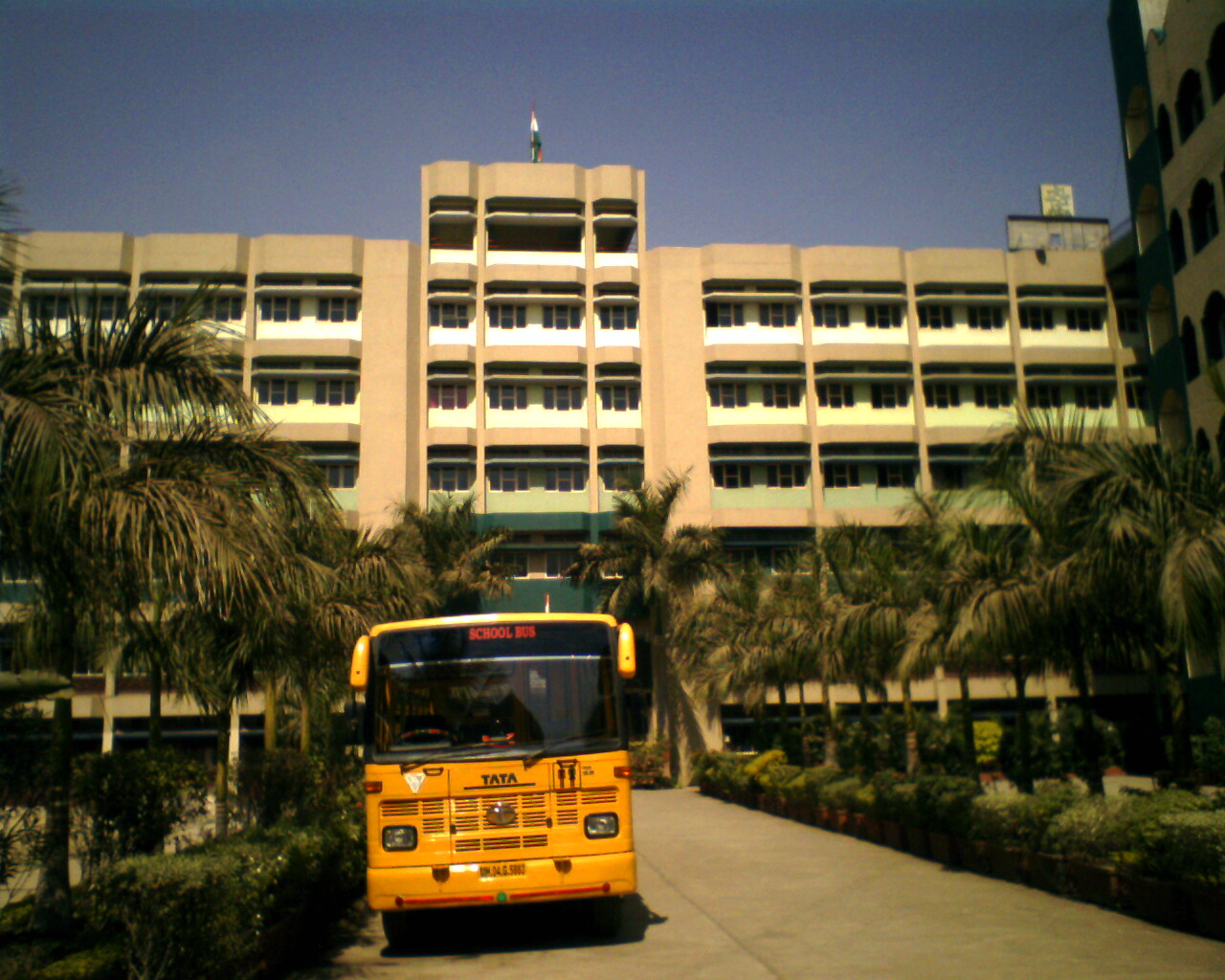


Why visit Borivli
Townapedia lists 8 museums and landmarks, 49 parks and trails, 45 places to eat, 3 places to stay and 7 attractions in and around town.
Highlights include Royal College of Science, Arts and Commerce, Mandapeshwar Caves, bmc park and Aaji Ajoba Udyan.
Weather in Borivli
Forecast from MET Norway (CC BY 4.0). Full forecast
About Borivli
Borivali (Pronunciation: [boːɾiʋəliː]) is a suburb located in northwestern Mumbai, India. Traditionally, tribals and East Indians lived in Borivali.
From the Wikipedia article Borivali (this version), under CC BY-SA 4.0.
Things to do7
Royal College of Science, Arts and Commerce
School · 4.1 km
College in Mumbai, Maharashtra

Municipal Amphitheatre
Cinema and theater · 1.1 km
Devidas Road, Mumbai


Museums and landmarks8



Parks, trails and playgrounds49

BMC Sadguru Shree Wamanrao Pai Manoranjan Udyan Kastur Park
Park · 1.8 km
12 Shimpoli Road, Mumbai
Mo-Su 08:00-22:00
Fish Park
Park · 2.1 km
I C Colony Cross Road No 5 near 206 last bus stop, Mumbai
Mo-Su 06:00-22:00

Atal Bihari Vajpayee Park
Park · 2.2 km
Mo-closed, Tu-Fr 16:00-20:00, Sa-Su 10:00-13:00, 16:00-20:00
37 more on the map.
Restaurants and cafes45

dinshas
Cafe · Pizza, Coffee Shop, Burger, Japanese, French · 1.2 km
3 Eksar Road, mubai
Mo-Sa 07:00-21:00

fernades & co.
Restaurant · Pizza, Burger, Chicken, Indian, Ice Cream, Bubble Tea, Noodle, Italian, American, Seafood, Pasta, Frozen Yogurt · 1.7 km
123 Holy Cross Road, Mumbai
24/7
snack shack
Restaurant · Burger, Sandwich, Breakfast · 2.0 km
CROSS RD NO.5 Holy Cross Road, Mumbai
Mo-Su 09:00-21:00
Cream Lounge
Restaurant · Milkshake, Ice Cream, Waffles · 2.0 km
Shop No. 5, Brindavan Apartments, Besides Aura Restaurant Yogi Nagar Marg, Mumbai
Mo-Su 12:00-23:30
Cafe Meter On
Restaurant · Pizza, Italian, Coffee Shop · 2.0 km
immaculate conception junction I C Colony Cross Road No 1, Mumbai
HOTEL KALASH
Restaurant · Indian, Chinese · 2.2 km
Anand Nagar Road, MUMBAI
Mo-Su 09:00-23:00
Hannahs cafe
Cafe · Coffee Shop · 1.9 km
I C Colony Cross Road No 5, Mumbai
Mo-Su 09:00-21:00
Lochlainn Cafe
Restaurant · Coffee Shop · 0.6 km
13 Chandavarkar Lane, BORIVALI
Mo-Su 09:00-21:00
Su Swagat
Restaurant · Regional, Sandwich, Indian · 1.6 km
Dattapada Road, Mumbai
Mo-Su 11:00-24:30
The Chocolate Heaven
Cafe · Pizza, Pasta, Sandwich, Burger, Dessert, Chocolate, Milkshake, Waffle · 2.1 km
Haridas Nagar Road, Mumbai
Mo-Su 08:00-00:00
dwarka
Restaurant · Regional, Pizza, Sandwich, Italian, Chinese, Indian, Kebab, Ice Cream, Dessert · 1.5 km
Shimpoli Road, Mumbai
Mo-Su 08:00-00:00
riga chinese
Cafe · Sandwich, Pizza · 1.5 km
123 Vallabh Nagar Ring Road, mumbai
Mo-Su 09:00-21:00
33 more on the map.
History
The names Borivaḻī (बोरिवळी) and Boriyli-gram occur as the name of a place in the 15th-17th-century Marathi-language text Mahikavatichi Bakhar; these names derive from the term for the Indian jujube tree (bor in Marathi).
The present-day Borivali has developed from what was once a conglomerate region of smaller settlements, namely Eksar, Poisar, Vazira, Shimpoli, Mandpeshwar, Dattapada, Kanheri, Tulsi, Magathane, and Gorai, which were situated on and around Mount Poinsur, between the Dahisar River and Poisar River.
The pre-historic era's "Mandpeshwar" (“An 8th-century remain of a beautiful Edifice structure, the Mandapeshwar Caves is a rock cut architecture and a Hindu shrine of Lord Shiva located near Borivali IC Colony, at walking distance from Dahisar Railway Station”) and "Kanheri caves" stand testament to the rich history of this place. Borivali was spelt "Berewlee" by the then ruled India under the British Raj. It is also spelt and pronounced as "Borivli".
Borivali is densely populated but continues to retain some green cover due to the presence of the Sanjay Gandhi National Park, previously known as the "Borivali National Park", in the east and the mangroves in the western end of Borivali.
From the History section of Borivali on Wikipedia, under CC BY-SA 4.0.
Where to stay3
Churches and places of worship28
Trimandir, Mumbai
Place of worship · 1.4 km
Dada Bhagwan Trimandir, Rushivan Abhinavnagar Road, Kajupada, Borivali East, Mumbai, Maharashtra
Our Lady of Immaculate Conception Church, Mt. Poinsur
Church · 1.3 km
Gaon Devi temple
Place of worship · Hindu · 1.6 km
eksar koliwada eksar talao, mumbai
OUR LADY OF REMEDY CHURCH
Church · Catholic · 2.5 km
OUR LADY OF REMEDY CHURCH Swami Vivekanand Road, Mumbai
Ram panchayat mandir
Place of worship · Ram Mandir · 0.7 km
Sardar Vallabhbhai Patel Road, Mumbai
Shopping14
Indraprasth Shopping Center
Shopping center · 1.0 km
Swami Vivekanand Road, Mumbai
Oberoi - Sky City Mall
Shopping center · 1.3 km
Devipada, Khande Rao Dongari, Borivali Western Express Highway, Mumbai
Shakti super store
Grocery · 0.6 km
shop no.1 Sardar Vallabhbhai Patel Road, nr ram mandir, Mumbai
Gas and EV charging1
Schools, colleges and libraries18
The BMS BRIO INTERNATIONAL SCHOOL (CBSE)
School · 2.5 km
462, Pasaydan Marg, off Gorai Road, New MHB Colony, Ashtavinayak Nagar, Borivali West, Mumbai
Don Bosco High School
School · Catholic · 1.9 km
Don Bosco School Chandavarkar Lane, Mumbai
Rustomjee Cambridge International school
School · 1.0 km
Jayavant Sawant Road, MUMBAI
Healthcare125
Borivali West
Hospital · 1.4 km
Dhaval Apartment Factory Lane, near Railway Station, Bhatt Chawl, Mini Zaveri Bazaar, Mhatre Wadi, Borivali West, Mumbai
Asian Eye Institute & Laser Centre
Clinic and pharmacy
1st Floor, Satyanarayan Apartment Mahatma Gandhi Cross Road No. 1, Mumbai
Dr Priyanka Shukla | Gynecologist in Borivali
Hospital · 1.6 km
shop2 Swasthya clinic, Samadhan Society, Chandavarkar Rd,, MUMBAI
Kiara's Neurology, Rheumatology and Arthritis Clinic
Clinic and pharmacy · 0.7 km
A-5 Shroff Apartment,Borivali west, Mumbai
Mamta Maternity Home
Clinic and pharmacy · 1.2 km
Dr Vasudev Shringi Marg, Mumbai
Map of Borivli
250 places. The map loads OpenStreetMap tiles when you open it.
Getting there and nearby towns
Chhatrapati Shivaji Maharaj International Airport (BOM) is the nearest airport with scheduled flights listed in OpenStreetMap, 16 km away.
- Bhayandar 7 km north, about 7 min by car
- Gorai 8 km west, about 8 min by car
- Thāne 12 km east, about 12 min by car
- Powai 14 km south, about 14 min by car
- Mumbai 18 km south, about 18 min by car
- Sopāra 21 km north, about 21 min by car
- Virār 25 km north, about 25 min by car
- Kalyān 29 km east, about 29 min by car
- Ulhasnagar 31 km east, about 31 min by car
- Panvel 38 km southeast, about 38 min by car
Drive times are estimates from straight-line distance, not routes.
Local news
Headlines from INDB.
Reviews, tips and questions
Loading what members have shared...
Sources and licences
- GeoNames (CC BY 4.0): population, coordinates, regions and time zone
- OpenStreetMap contributors (ODbL 1.0): places, airports, map data
- Wikidata (CC0 1.0): elevation, founding date, time zone, website, landmarks and historic places
- Wikimedia Commons (see each image): photos
- Wikipedia (CC BY-SA 4.0): overview and history text
Photo credits
- Mini Train in National Park Borivli - panoramio, Camaal Mustafa Sikan…, CC BY 3.0
- The Building of Royal College, Mira Road, Virendrahonda, CC BY-SA 3.0
- Ic church altar, GAGA / AlmiteyG at en.wikipedia, CC BY-SA 3.0
- Skyscrapers of Mumbai viewed from 'National Park, Borivili, Rudolph.A.furtado, Public domain
- Mandapeshwar Caves, Kartik Chandramouli, CC BY-SA 3.0
- Mandapeshwar Caves Panorama view, Jawahar Soneji, CC BY-SA 4.0
- Dahisar river as seen from local train 01, Pratishkhedekar, CC BY-SA 4.0
- Dahisar river as seen from local train 03, Pratishkhedekar, CC BY-SA 4.0
- Dahisar river as seen from local train 02, Pratishkhedekar, CC BY-SA 4.0
- Rakhi Paurnima, Mandar Nitin Pawar, CC BY-SA 4.0
- Dahisar River, Borivali 01, Pratishkhedekar, CC BY-SA 4.0
- Dahisar River, Borivali 02, Pratishkhedekar, CC BY-SA 4.0
- Dahisar River, Borivali 03, Pratishkhedekar, CC BY-SA 4.0
- Dahisar river flowing, Pratishkhedekar, CC BY-SA 4.0
- Beautiful Kanheri Caves Wall Engravings, Vas Globus, CC BY-SA 4.0
- 12472 Swaraj Express - Train board, Superfast1111, CC BY-SA 4.0
- The ayyappa pooja celebrated by the South Indians, Neha Rajan Thapar, CC BY-SA 4.0
- 12472 Swaraj Express - General coach, Superfast1111, CC BY-SA 4.0
- Entrance gate of Sanjay Gandhi National Park, Mumbai, सुबोध कुलकर्णी, CC BY-SA 4.0
- Information board at the entrance of Sanjay Gandhi National Park, Mumbai, सुबोध कुलकर्णी, CC BY-SA 4.0
- TheTerrificTrippleTreat HavmoreIcecream Mumbai, Shah Naisargi, CC BY-SA 4.0
- Kiki&Cream BelgianWaffels Mumbai, Shah Naisargi, CC BY-SA 4.0
- Kitkat BelgianWaffels Mumbai, Shah Naisargi, CC BY-SA 4.0
- Chameleon on a coconut tree, Shreyanrane 14, CC0
- Squirrel inside a tree hole, Shreyanrane 14, CC0
- ThreeChoclate BelgianWaffels Mumbai, Shah Naisargi, CC BY-SA 4.0
- Concession store at Borivali railway station in Mumbai,. Maharashtra, India, Deccantrap, CC BY-SA 3.0
- Sri Krishna Nagar, Borivali, Mumbai, Maharashtra 400066, India - panoramio, Camaal Mustafa Sikan…, CC BY 3.0
- Sri Krishna Nagar, Borivali, Mumbai, Maharashtra 400066, India - panoramio - Camaal Mustafa Sikan…, Camaal Mustafa Sikan…, CC BY 3.0
- Sweet shop in Mumbai, Gannu03, CC BY-SA 4.0
- Mumbai snacks, Gannu03, CC BY-SA 4.0
- Borivali railwaystation Mumbai 2024, Gannu03, CC BY-SA 4.0
- A06311CF-5AEE-42DA-AE47-D74838E99, Varad Sawant, CC BY-SA 4.0
- Lol BC93817B-E8F8-4BAB-AEF7-C1B04AF2FD, Varad Sawant, CC BY-SA 4.0
- 8C6D1936-B353-4A3F-BB8A-5EB106FA009, Varad Sawant, CC BY-SA 4.0
- DBB9B38F-6C1E-4BC0-B1A3-DA95AB7D, Varad Sawant, CC BY-SA 4.0
- Bandra Terminus Jaisalmer Superfast Express - Train board, Superfast1111, CC BY-SA 4.0
- 96418C25-E8E5-44F6-9B0A-80E1144, Varad Sawant, CC BY-SA 4.0
- St. Francis Institute of Technology, Jahviraa9, CC BY-SA 4.0
- Rolling Hills Borivali (13032820203), Ashwin Kumar from Bangalore, India, CC BY-SA 2.0


Page built November 2, 2026. Spotted a mistake? Tell us or suggest a place.