


Why visit Byndoor
Townapedia lists 1 park or trail in and around town.
Highlights include Sharavathi LTM Wildlife Sanctuary.
Weather in Byndoor
Forecast from MET Norway (CC BY 4.0). Full forecast
About Byndoor
Byndoor is a taluk and Town Panchayat in Udupi, Karnataka, India.
From the Wikipedia article Byndoor (this version), under CC BY-SA 4.0.
Travel tips from other travellers: Byndoor on Wikivoyage (CC BY-SA 4.0).
Parks, trails and playgrounds1
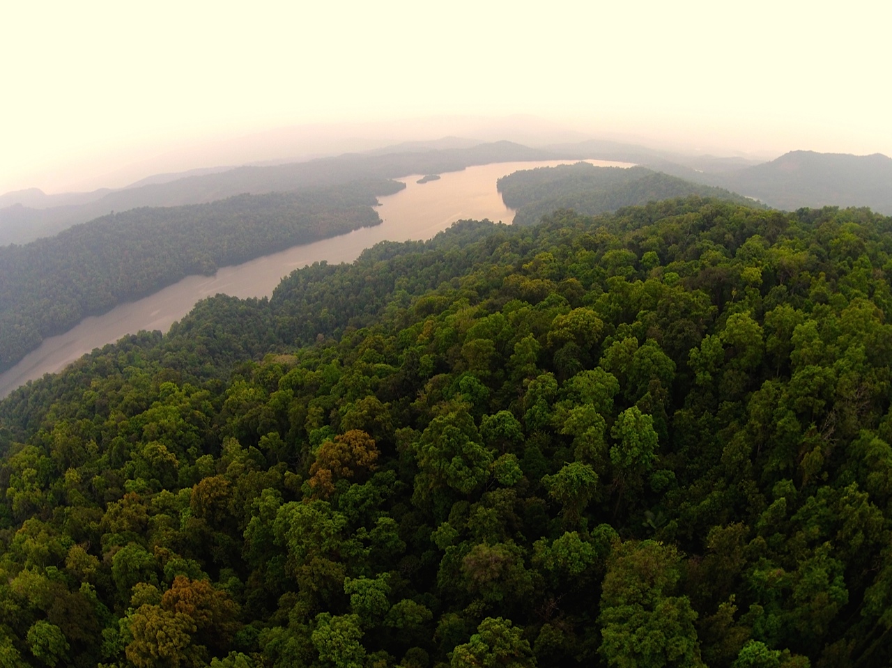


Sharavathi LTM Wildlife Sanctuary
Park · 3.7 km
Protected area in Karnataka, India
Gas and EV charging2

Schools, colleges and libraries9

Sri Dharmastala Manjunatheshwara Aided Higher Primary School, Mayyadi, Byndoor
School · 1.5 km
Map of Byndoor
12 places. The map loads OpenStreetMap tiles when you open it.
Getting there and nearby towns
Mangalore International Airport (IXE) is the nearest airport with scheduled flights listed in OpenStreetMap, 105 km away.
- Bhatkal 16 km northwest, about 16 min by car
- Jāli 18 km northwest, about 18 min by car
- Venkatapura 21 km northwest, about 21 min by car
- Gangolli 24 km south, about 24 min by car
- Kundapura 27 km south, about 27 min by car
- Murudeshwara 30 km northwest, about 30 min by car
- Kōteshwar 32 km south, about 32 min by car
- Kargal 41 km northeast, about 41 min by car
- Udupi 60 km south, about 1 h by car
- Kārkala 82 km southeast, about 1 h 15 min by car
Drive times are estimates from straight-line distance, not routes.
Local news
Headlines from INDB.
Reviews, tips and questions
Loading what members have shared...
Sources and licences
- GeoNames (CC BY 4.0): population, coordinates, regions and time zone
- OpenStreetMap contributors (ODbL 1.0): places, airports, map data
- Wikidata (CC0 1.0): elevation, founding date, time zone, website, landmarks and historic places
- Wikimedia Commons (see each image): photos
- Wikipedia (CC BY-SA 4.0): overview and history text
Photo credits
- Mookambika Temple, Vedamurthy.j, CC BY-SA 3.0
- Mookambika Road Byndoor railway station (35200), Sujithshivam511, CC BY-SA 4.0
- Mookambika Road Byndoor railway station (38409), Manukrishnan80, CC BY-SA 3.0
- Mookambika Road Byndoor railway station, Sujithshivam511, CC BY-SA 4.0
- Mookambika Road Byndoor railway station (31232), Sujithshivam511, CC BY-SA 4.0
- Mookambika Road Byndoor railway station (45326), Sujithshivam511, CC BY-SA 4.0
- Mookambika Road Byndoor railway station (18194), Sujithshivam511, CC BY-SA 4.0
- Mookambika Road Byndoor railway station (39095), Sujithshivam511, CC BY-SA 4.0
- Mookambika Road Byndoor railway station (77458), Sujithshivam511, CC BY-SA 4.0
- Byndoor(Mookambika-Road)-Railway-Station-Karnataka, Vaikoovery, CC BY 3.0
- A-tunnel-in-Konkan-Railway-at-Byndoor-Karnataka, Vaikoovery, CC BY 3.0
- Sharavathi Valley, Prakashmatada, CC BY-SA 3.0


Page built November 3, 2026. Spotted a mistake? Tell us or suggest a place.