
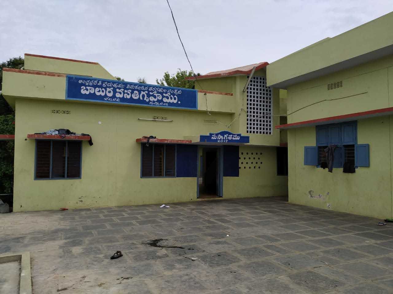

Why visit Challapalle
Townapedia lists 1 museum or landmark, 1 park or trail and 1 attraction in and around town.
Weather in Challapalle
Forecast from MET Norway (CC BY 4.0). Full forecast
About Challapalle
Challapalli (officially known as Challapalle) is a village in the Krishna district of the Indian state of Andhra Pradesh. It is located in Challapalli mandal, Machilipatnam revenue division. Tollywood actor Nani is native of this village. In March 2026, 5-6 police personnel were injured when firecrackers exploded at Challapalli police station.
From the Wikipedia article Challapalli (this version), under CC BY-SA 4.0.
Things to do1

Museums and landmarks1

Parks, trails and playgrounds1

Churches and places of worship7


History
In the early 18th century, the Raja of Challapalli, Yaralagadda Ankineedu Prasad built Challapalli palace. The village was developed around the palace and became the capital for the Devarkota Estate. The last crowned monarch of Challapalli was Yarlagadda Sivaram Prasad (1906–1976). As of 2012, the royal family members no longer reside in the fort.
Yarlagadda Rajas of the Challapalli fort and Zamindari were the rulers in this area from the 15th century until recently when the Kingdom was disbanded due to the land Cease Act of the Indian Government.
From the History section of Challapalli on Wikipedia, under CC BY-SA 4.0.
Shopping1
Schools, colleges and libraries6
Healthcare4
Map of Challapalle
21 places. The map loads OpenStreetMap tiles when you open it.
Getting there and nearby towns
Vijayawada Airport (VGA) is the nearest airport with scheduled flights listed in OpenStreetMap, 48 km away.
- Avanigadda 11 km south, about 11 min by car
- Repalle 15 km southwest, about 15 min by car
- Bhattiprolu 16 km west, about 16 min by car
- Machilīpatnam 23 km east, about 23 min by car
- Thenali 34 km northwest, about 34 min by car
- Mangalagiri 52 km northwest, about 52 min by car
- Vijayawada 53 km northwest, about 53 min by car
- Tādepalle 54 km northwest, about 54 min by car
- Guntur 55 km west, about 55 min by car
- Amaravati 63 km northwest, about 1 h by car
Drive times are estimates from straight-line distance, not routes.
Local news
Headlines from INDB.
Reviews, tips and questions
Loading what members have shared...
Sources and licences
- GeoNames (CC BY 4.0): population, coordinates, regions and time zone
- OpenStreetMap contributors (ODbL 1.0): places, airports, map data
- Wikidata (CC0 1.0): elevation, founding date, time zone, website
- Wikimedia Commons (see each image): photos
- Wikipedia (CC BY-SA 4.0): overview and history text
Photo credits
- Challapally hostel, MYADAM ABHILASH, CC0
Page built November 3, 2026. Spotted a mistake? Tell us or suggest a place.