




Why visit Jhunjhunūn
Townapedia lists 2 museums and landmarks, 6 parks and trails, 7 places to eat and 6 places to stay in and around town.
Highlights include Khetri Mahal.
Weather in Jhunjhunūn
Forecast from MET Norway (CC BY 4.0). Full forecast
About Jhunjhunūn
Jhunjhunu is a city and municipal council in the state of Rajasthan in India. It is the administrative headquarters of the Jhunjhunu district. It is also the biggest city of the Shekhawati region, which includes Jhunjhunu, Churu and Sikar.
From the Wikipedia article Jhunjhunu (this version), under CC BY-SA 4.0.
Travel tips from other travellers: Jhunjhunūn on Wikivoyage (CC BY-SA 4.0).
Museums and landmarks2

Parks, trails and playgrounds6



Restaurants and cafes7



Where to stay6

Churches and places of worship4
Shopping4
Schools, colleges and libraries8
Healthcare33
Map of Jhunjhunūn
70 places. The map loads OpenStreetMap tiles when you open it.
Getting there and nearby towns
- Bagar 12 km northeast, about 12 min by car
- Islāmpur 14 km east, about 14 min by car
- Nūa 15 km southwest, about 15 min by car
- Mandāwa 26 km west, about 26 min by car
- Mukandgarh 26 km southwest, about 26 min by car
- Chidawa 27 km northeast, about 27 min by car
- Malsīsar 27 km north, about 27 min by car
- Nawalgarh 33 km south, about 33 min by car
- Pilāni 34 km northeast, about 34 min by car
- Sīkar 62 km southwest, about 1 h by car
Drive times are estimates from straight-line distance, not routes.
Local news
Headlines from INDB.
Reviews, tips and questions
Loading what members have shared...
Sources and licences
- GeoNames (CC BY 4.0): population, coordinates, regions and time zone
- OpenStreetMap contributors (ODbL 1.0): places, airports, map data
- Wikidata (CC0 1.0): elevation, founding date, time zone, website
- Wikimedia Commons (see each image): photos
- Wikipedia (CC BY-SA 4.0): overview and history text
Photo credits
- Rani Sati Dadi, Junjhunu, Rajasthan, Sumit kumar diwan, CC BY-SA 3.0
- Khetri-Mahal-Jhunjhunu-Back, AKS2000, CC BY-SA 4.0
- Choorma ladoo, Pushpendra Payal, CC BY-SA 4.0
- Jhunjhunu - panoramio, Ashish Yadav, CC BY 3.0
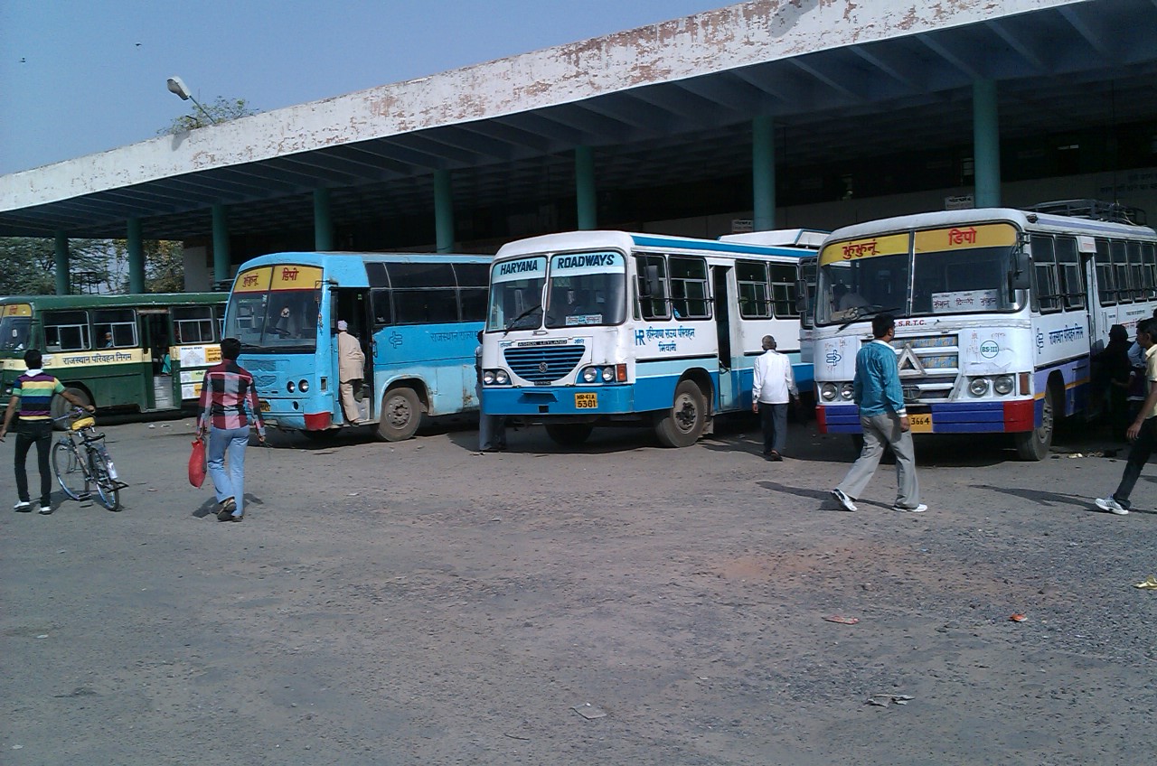
- Jhunjhunu bus stand - panoramio, Ashish Yadav, CC BY 3.0
- RAni SAti Temple Jhnjhunu Rajasthan, Seervims, CC BY-SA 4.0
- Khemi Sati Mandir - panoramio, Indrapal Jangid, CC BY-SA 3.0
- Piru Singh PVC copper statue, Amzadkhankk, CC BY-SA 4.0


Page built November 2, 2026. Spotted a mistake? Tell us or suggest a place.