



Why visit Morigaon
Townapedia lists 5 parks and trails in and around town.
Weather in Morigaon
Forecast from MET Norway (CC BY 4.0). Full forecast
About Morigaon
Morigaon (pron: mʌrɪˈgãʊ) is a town and the district headquarters of Morigaon district in the Indian state of Assam. It also serves as the headquarters of the Tiwa Autonomous Council.
From the Wikipedia article Morigaon (this version), under CC BY-SA 4.0.
Travel tips from other travellers: Morigaon on Wikivoyage (CC BY-SA 4.0).
Parks, trails and playgrounds5


KHIRUD BORUAH STADIUM (ক্ষীৰোদ বৰুৱা ষ্টেডিয়াম)
Sports field and stadium · 1.1 km
Churches and places of worship9

Catholic Church, Morigaon
Church · Catholic · 2.0 km
St Theres,a's School sankardev Nagar, Morigaon

Gas and EV charging1

Schools, colleges and libraries8

Morigaon H.S. & M.P. School (মৰিগাওঁ উচ্চতৰ মাধ্যমিক আৰু বহুমুখী বিদ্যালয়)
School
Mo-Sa 09:00-15:00
Morigaon Law College (মৰিগাঁও আইন মহাবিদ্যালয়)
School · 1.3 km
Mo-Sa 09:00-16:00
St Theresa's School, Morigaon
School · Catholic · 2.0 km
St Theresa's School sankardev Nagar, Morigaon

Healthcare6
Map of Morigaon
29 places. The map loads OpenStreetMap tiles when you open it.
Getting there and nearby towns
Tezpur Air Force Station (TEZ) is the nearest airport with scheduled flights listed in OpenStreetMap, 67 km away.
- Rahā 17 km east, about 17 min by car
- Tegheria 19 km southwest, about 19 min by car
- Nakhula Grant 20 km southwest, about 20 min by car
- Jagiroad 21 km southwest, about 21 min by car
- Bhuragaon Rev. Town 20 km northwest, about 20 min by car
- Dispur 56 km west, about 56 min by car
- Guwahati 60 km west, about 1 h by car
- Tezpur 62 km northeast, about 1 h by car
- North Guwāhāti 63 km west, about 1 h by car
- Shillong 89 km southwest, about 1 h 30 min by car
Drive times are estimates from straight-line distance, not routes.
Local news
Headlines from INDB.
Reviews, tips and questions
Loading what members have shared...
Sources and licences
- GeoNames (CC BY 4.0): population, coordinates, regions and time zone
- OpenStreetMap contributors (ODbL 1.0): places, airports, map data
- Wikidata (CC0 1.0): elevation, founding date, time zone, website
- Wikimedia Commons (see each image): photos
- Wikipedia (CC BY-SA 4.0): overview and history text
Photo credits
- Morigaon College, Wahabdr, CC BY-SA 3.0
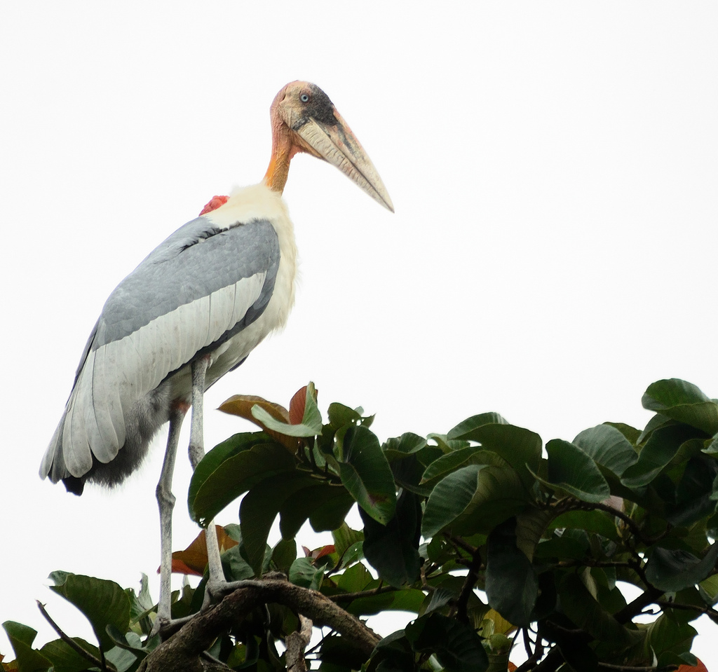
- Greater Adjutant, ChanduBandi, CC BY 3.0
Page built November 3, 2026. Spotted a mistake? Tell us or suggest a place.