




Why visit Perumbavoor
Townapedia lists 3 museums and landmarks, 11 parks and trails, 101 places to eat, 17 places to stay and 5 attractions in and around town.
Highlights include Vallam–Parakkadavu Bridge.
Weather in Perumbavoor
Forecast from MET Norway (CC BY 4.0). Full forecast
About Perumbavoor
Perumbavoor ([peɾumbaːʋuːr]) is a major town and municipality in the eastern part of the Kochi metropolitan area in the Indian state of Kerala. As per the 2011 census of India, Perumbavoor has a population of 28,110 people and is situated on the banks of the Periyar River basin. It serves as an important residential, commercial, and industrial centre in central Kerala. Perumbavoor has long been recognized as a gateway between the urban regions of Kochi and the agrarian highlands of eastern Ernakulam district.
From the Wikipedia article Perumbavoor (this version), under CC BY-SA 4.0.
Travel tips from other travellers: Perumbavoor on Wikivoyage (CC BY-SA 4.0).
Things to do5


ashirvad film complex
Cinema and theater · 1.0 km
Perumbavoor-Nellimolam Road, Perumbavoor

Museums and landmarks3

St. Gregorious Kurishumthotti, Peechanam Mukal
Monument and historic site · 3.0 km


Parks, trails and playgrounds11


Restaurants and cafes101




89 more on the map.
History
Perumbavoor municipality was formed in 1936. It was one among the 4 Panchayats sanctioned by Sir C. P. Ramaswamy Iyer (Diwan-Thiruvithamcore). The others were Paravur, Nedumangad and Boothapandi. Perumbavoor constituency is one of the most Jacobite Christian-populated areas in India.
From the History section of Perumbavoor on Wikipedia, under CC BY-SA 4.0.
Where to stay17
Churches and places of worship72
Shopping31
Gas and EV charging12
Schools, colleges and libraries42
Asram Higher Secondary School Perumbavoor
School · 2.0 km
Perumbavoor, Perumbavoor
Government Higher Secondary School Perumbavoor
School · 1.5 km
Perumbavoor, Perumbavoor
Government Vocational Higher Secondary School Iringole
School · 2.7 km
Perumbavoor, Perumbavoor
Goverment Lower Primary School, Kanjirakkadu
School · 2.3 km
Kanjirakkadu, perumbavoor
Healthcare28
oasis medical clinic
Clinic and pharmacy · 2.1 km
souhrdha junction,mudickal Aluva-Perumbavoor Road
Map of Perumbavoor
250 places. The map loads OpenStreetMap tiles when you open it.
Getting there and nearby towns
Cochin International Airport (COK) is the nearest airport with scheduled flights listed in OpenStreetMap, 9 km away.
- Angamāli 13 km northwest, about 13 min by car
- Alwaye 13 km west, about 13 min by car
- Kotamangalam 18 km east, about 18 min by car
- Muvattupuzha 18 km southeast, about 18 min by car
- Elūr 21 km west, about 21 min by car
- Kizhake Chālakudi 26 km northwest, about 26 min by car
- Piravam 27 km south, about 27 min by car
- Vypīn 29 km southwest, about 29 min by car
- Kochi 30 km southwest, about 30 min by car
- Arukutti 30 km southwest, about 30 min by car
Drive times are estimates from straight-line distance, not routes.
Local news
Headlines from INDB.
Reviews, tips and questions
Loading what members have shared...
Sources and licences
- GeoNames (CC BY 4.0): population, coordinates, regions and time zone
- OpenStreetMap contributors (ODbL 1.0): places, airports, map data
- Wikidata (CC0 1.0): elevation, founding date, time zone, website, landmarks and historic places
- Wikimedia Commons (see each image): photos
- Wikipedia (CC BY-SA 4.0): overview and history text
Photo credits
- Perumbavoor Main Junction, Ranjithsiji, CC BY-SA 3.0
- Parappuram Vallamkadavu Bridge IMG 20231110 090447, Ranjithsiji, CC BY-SA 4.0
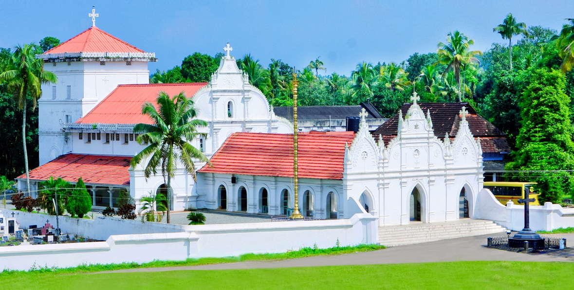
- Marth Mariam Pally Kuruppampady, Mathen Payyappilly Palakkappilly, CC BY-SA 4.0
- Iringol Kavu Temple Perumbavur Kerala India DSC 5410, Ranjithsiji, CC BY-SA 4.0
- Perumbavoor Taluk Headquarters Hospital, Ronyrajan95, CC BY-SA 4.0
- Statue of Mahatma Gandhi Perumbavoor, Ranjithsiji, CC BY-SA 3.0
Page built November 3, 2026. Spotted a mistake? Tell us or suggest a place.