





Why visit Tambaram
Townapedia lists 2 museums and landmarks, 16 parks and trails, 83 places to eat, 9 places to stay and 9 attractions in and around town.
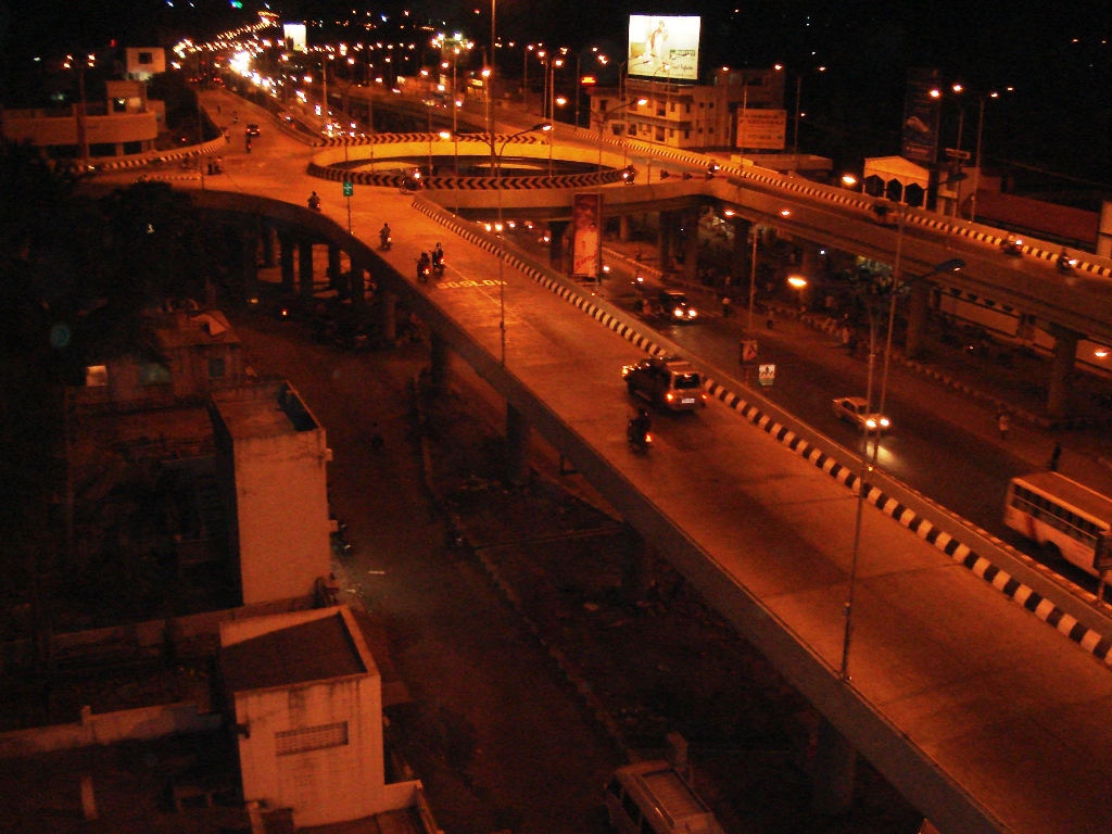
Highlights include Bharath University, Chromepet Flyover and Nanmangalam Reserve Forest.
Weather in Tambaram
Forecast from MET Norway (CC BY 4.0). Full forecast
About Tambaram
Tambaram is a city in Chennai metropolitan area, Chengalpattu district of Tamil Nadu, India. The city is governed by Tambaram City Municipal Corporation.
From the Wikipedia article Tambaram (this version), under CC BY-SA 4.0.
Travel tips from other travellers: Tambaram on Wikivoyage (CC BY-SA 4.0).
Things to do9
Bharath University
School · 2.5 km
Indian institute of higher education located in Chennai

Kishkinta
Monument and historic site · 5.4 km
Theme park in Chennai, India



Museums and landmarks2


Parks, trails and playgrounds16



Annai Anjugam Ammaiyar Park
Park · 2.4 km
A park which consist of Shuttle court , library , fountain and more for childrens

4 more on the map.
Restaurants and cafes83


Drill & Delight (Fresh Fruit Ice Cream)
Ice cream · 2.1 km
Mo-Fr 15:30-22:00; Sa-Su 12:30-22:00
Pishon Restaurant
Restaurant · Indian, Chinese · 1.9 km
23 1st Main Road, chennai
71 more on the map.
History
The earliest mention of Tambaram dates back to the 13th century when the word 'Taamapuram' was inscribed on the walls around the sanctum sanctorum at Marundeeswarar temple in Tirukachur village, near Chengalpattu.
From the History section of Tambaram on Wikipedia, under CC BY-SA 4.0.
Where to stay9
Churches and places of worship42
Shree Aanandha Jothi Vinayagar Srinivasa Perumal Temple
Place of worship · Hindu · 2.1 km
Jothi Nagar 3rd Street, chennai
Sri Angala Parameshwari Amman Temple
Place of worship · Hindu · 0.7 km
96 Bharathmatha Street, chennai
Tambaram Sanatorium Manavalakalai Mandram (Temple of consciousness)
Place of worship · 1.7 km
12 kamakotti nagar, Judge Colony, chennai
Shopping35
Rogers Family Mart
Grocery · 1.7 km
202 Velachery Road, Camp Road Juction, Rajeshwari Nagar, Selaiyur
Gas and EV charging8
Schools, colleges and libraries22
BIHER CSE Block
School · 2.4 km
Bharath Institute of Higher education and research
Sri Sankara Vidyalaya Matriculation Higher Secondary School
School
Velachery - Tambaram Main Road
Healthcare132
Bethesda Hospital & Child Care Centre
Hospital · 1.9 km
31 IOB Colony, Bharathi Nagar, Camp Road, Selaiyur, chennai
PM Medical shop (Generic medicines)
Clinic and pharmacy · 1.5 km
11/9 Thirumurugan Salai, chennai
Map of Tambaram
250 places. The map loads OpenStreetMap tiles when you open it.
Getting there and nearby towns
Chennai International Airport (MAA) is the nearest airport with scheduled flights listed in OpenStreetMap, 9 km away.
- Kallamchavadi 3 km north, about 3 min by car
- Alapakam 4 km southwest, about 4 min by car
- Rajakilpakkam 5 km east, about 5 min by car
- Perunkalattu 5 km west, about 5 min by car
- Pallāvaram 5 km northeast, about 5 min by car
- Vengavasal 5 km southeast, about 5 min by car
- Vandalūr 6 km southwest, about 6 min by car
- Meddappakkam 7 km east, about 7 min by car
- Chennai 24 km northeast, about 24 min by car
- Tiruvottiyūr 32 km northeast, about 32 min by car
Drive times are estimates from straight-line distance, not routes.
Local news
Headlines from INDB.
Reviews, tips and questions
Loading what members have shared...
Sources and licences
- GeoNames (CC BY 4.0): population, coordinates, regions and time zone
- OpenStreetMap contributors (ODbL 1.0): places, airports, map data
- Wikidata (CC0 1.0): elevation, founding date, time zone, website, landmarks and historic places
- Wikimedia Commons (see each image): photos
- Wikipedia (CC BY-SA 4.0): overview and history text
Photo credits
- Tambaram railway station, Simply CVR, CC BY 2.0
- Chrompet flyover, Coolguyche17, Public domain
- Madras Christian college Chennai - gate1, User:Tshrinivasan, CC BY-SA 3.0
- Bharath University Signature, Bharath University, Public domain
- Nanmangalam Reserve forest, Netvadi, CC BY-SA 4.0
- "Namma Tambaram" photo spot in Chitlapakkam Lake Park, CommonsNomad, CC BY-SA 3.0
Page built November 2, 2026. Spotted a mistake? Tell us or suggest a place.