


Bandar Abbas, Iran
بندرعباس
Bandar Abbas is a regional capital of 352,173 people in Hormozgan, Iran.
Why visit Bandar Abbas
Townapedia lists 7 museums and landmarks, 14 parks and trails, 56 places to eat, 19 places to stay and 2 attractions in and around town.
Weather in Bandar Abbas
Forecast from MET Norway (CC BY 4.0). Full forecast
About Bandar Abbas
Bandar Abbas (Persian: بندرعباس, pronounced [bænˌdæɹʔæbˈbɒːs] ) is a port city in the Central District of Bandar Abbas County, Hormozgan Province, Iran, serving as capital of the province, the county, and the district. Bandar Abbas is a port on the southern coast of the country, on the Persian Gulf.
From the Wikipedia article Bandar Abbas (this version), under CC BY-SA 4.0.
Travel tips from other travellers: Bandar Abbas on Wikivoyage (CC BY-SA 4.0).
Things to do2


Museums and landmarks7


Parks, trails and playgrounds14



2 more on the map.
Restaurants and cafes56

cafee melody
Cafe · صبحانه.ناهار.عصرانه.قهوه, Regional, Coffee Shop, Sandwich · 0.6 km
قوام ۳, بندرعباس
08:00-22:00

رستوران زرون
Restaurant · Pizza, Burger, Kebab, Seafood · 2.4 km
بلوار شهدا, بندرعباس
sunrise-sunset
رستوران فانوس
Restaurant · Pizza, Coffee Shop, Chicken, Burger · 0.6 km
Open in Google Maps · +987632254501;+987632254502;+987632254503;+987632254504
نانوایی سنگک
Bakery · 0.6 km
Mo-Su 06:00-09:00, 10:30-13:30, 18:00-22:00
چنگال طلایی
Restaurant · 1.0 km
Mo-Su 12:00-16:30
Open in Google Maps · +987632233989;+987632230775;+987632252332;+989026363052;+989026363051
Pizza Eleven11
Restaurant · Italian, Pizza, پیتزا ایتالیایی, پیتزا ناپولیتن, Italian Piazza · 1.8 km


44 more on the map.
Where to stay19
Churches and places of worship32
مسجد جامع اهل سنت
Place of worship · Sunni · 1.2 km
بلوار آیتالله طالقانی, بندرعباس
Shopping37
Gas and EV charging2
Schools, colleges and libraries57
Healthcare53
Dr. Daliran Nia Pharmacy
Clinic and pharmacy · 1.1 km
بلوار سید جمال الدین اسد آبادی
رادیولوژی و سونوگرافی دکتر محمدرضا شمسه ای
Clinic and pharmacy
خیابان سیدجمالالدین اسدآبادی
Clinic Dr Attarian Orthpaedics
Clinic and pharmacy · 0.7 km
9 خیابان سیدجمالالدین اسدآبادی
Map of Bandar Abbas
250 places. The map loads OpenStreetMap tiles when you open it.
Getting there and nearby towns
Bandar Abbas International Airport (BND) is the nearest airport with scheduled flights listed in OpenStreetMap, 11 km away.
- Tāzīān 18 km northwest, about 18 min by car
- Shahrak-e Nāmjū 18 km north, about 18 min by car
- Hormoz 20 km southeast, about 20 min by car
- Ţūlā 24 km south, about 24 min by car
- Qeshm 26 km south, about 26 min by car
- Halor 31 km southwest, about 31 min by car
- Bostānū 30 km southwest, about 30 min by car
- Dargahān 33 km southwest, about 33 min by car
- Ramchāh 34 km southwest, about 34 min by car
- Ramkān 43 km southwest, about 43 min by car
Drive times are estimates from straight-line distance, not routes.
Local news
Headlines from INDB.
Reviews, tips and questions
Loading what members have shared...
Sources and licences
- GeoNames (CC BY 4.0): population, coordinates, regions and time zone
- Mapillary (see each image): photos
- OpenStreetMap contributors (ODbL 1.0): places, airports, map data
- Wikidata (CC0 1.0): elevation, founding date, time zone, website
- Wikimedia Commons (see each image): photos
- Wikipedia (CC BY-SA 4.0): overview and history text
Photo credits
- A vendor woman in bandar abbas bazaar, ninara, CC BY-SA 2.0
- Sampad Shahid Haghani Bandar Abbas - panoramio (1), ghzizoo2, CC BY-SA 3.0
- Sampad Shahid Haghani Bandar Abbas - panoramio, ghzizoo2, CC BY-SA 3.0
- Bandar Abbas and Persian Gulf, Alireza Javaheri, CC BY 3.0
- Iran - Bandar Abbas ^ Persian Gulf - ایران بندرعباس و خلیج همیشه فارس - panoramio, Alireza Javaheri, CC BY 3.0
- Chah Mahmudi, Bandar Abbas, Hormozgan Province, Iran - panoramio, ghzizoo2, CC BY-SA 3.0
- Mabad-Hendooha, Hasanbardal, CC BY-SA 4.0
- ShahidMohammadi-Hospital-1, Hasanbardal, CC BY-SA 4.0
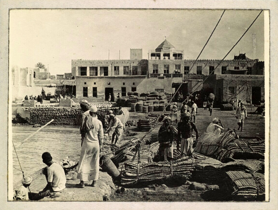
- Bundar-Abbas-Englishman's-Hat-(Kolah-Farangi), The record is made up of 1 b&w silver gelatin print. It was created in May 1917. It was written in English. The original is part of the British Library: India Office Records and Private Papers., Public domain
- کاش این پنجره نگاه تو را فراموش نکند, شهدوستی, CC0
- برکه گرد, Setarehbnvnd, CC BY-SA 4.0
- ۲۰۲۳۱۱۱۱ ۱۳۰۰۱۹پرستشگاه بت گوران, خالد۱۸۰۰, CC BY-SA 4.0
- معبد هندوها - بندرعباس - panoramio, سید محمود جوادی, CC BY 3.0
- معبد هندوها - panoramio, سید محمود جوادی, CC BY 3.0
- درب ورودی بازار روز بندرعباس 1 - panoramio, aMIR09173683174, CC BY-SA 3.0
- ۲۰۲۳۱۱۱۱ ۱۲۵۹۵۷پرستشگاه بت گوران, خالد۱۸۰۰, CC BY-SA 4.0
- بازار روز بندرعباس 7 - panoramio, aMIR09173683174, CC BY-SA 3.0
- ۲۰۲۳۱۱۱۱ ۱۳۰۹۱۱حمام گپ, خالد۱۸۰۰, CC BY-SA 4.0
- Shahrdari bandarabbas, M.jsj66, CC BY-SA 4.0
- ۲۰۲۳۱۱۱۱ ۱۳۱۲۵۰ حمام گپ, خالد۱۸۰۰, CC BY-SA 4.0
- ۲۰۲۳۱۱۱۱ ۱۳۱۱۱۹حمام گپ, خالد۱۸۰۰, CC BY-SA 4.0
- Bandar-Abbas-Municipality, Gh.cont, CC BY-SA 4.0
- Bandarabbascity, M.jsj66, CC BY-SA 4.0
- BANDARABBAS BEACH - panoramio, sohrab alizadeh, CC BY 3.0
- یک گاری گل پس اسپش کو؟ - panoramio, سید محمود جوادی, CC BY 3.0
- Hormoz-hotel-bandar-abbas, Philoeng, CC BY-SA 4.0
- طلای طلوع در بندرعباس - panoramio, سید محمود جوادی, CC BY 3.0
- BandarAbbas بندرعباس - panoramio, Hamid Hajihusseini, CC BY 3.0
- BandarAbbas بندرعباس - panoramio (cropped), Hamid Hajihusseini, CC BY 3.0
- اسكله شهيد حقانيHaghani jetty - panoramio, alirezaseydabady, CC BY 3.0
- اسکله حقانی از بغل - panoramio, aMIR09173683174, CC BY-SA 3.0
- بطرف بلیط فروشی 1اسکله حقانی - panoramio, aMIR09173683174, CC BY-SA 3.0
- شب اسكلهJetty at night - panoramio, alirezaseydabady, CC BY 3.0
- Delgosha Jame Mosque, AlChtzn, CC BY-SA 4.0
- كنارساحلBeach - panoramio, alirezaseydabady, CC BY 3.0
- مسجد گله داری هرمزگان, محدثه اصغرنژاد, CC BY-SA 4.0
- مسجد Mosque - panoramio, alirezaseydabady, CC BY 3.0
- مسجد اهل سنت - panoramio, سید محمود جوادی, CC BY 3.0
- Rainbow - panoramio (8), ghzizoo2, CC BY-SA 3.0
- لنچ واژگون شدهLnch capsized - panoramio, alirezaseydabady, CC BY 3.0
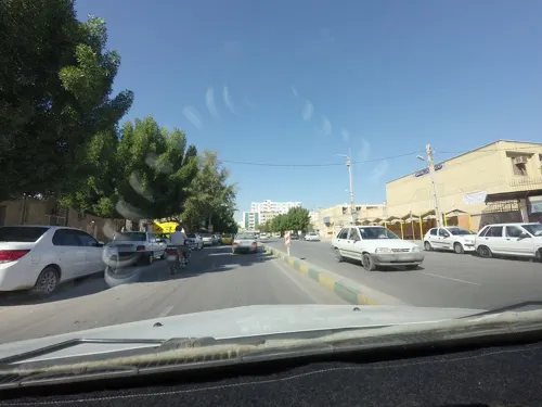
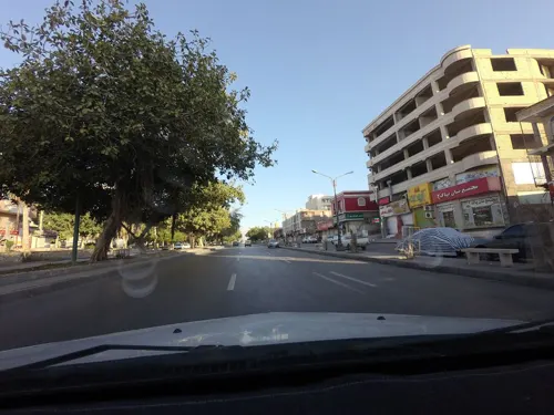
- Street-level photo, edi21881, CC BY-SA 4.0
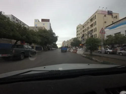
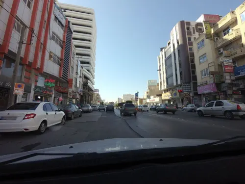
- Street-level photo, edi21881, CC BY-SA 4.0
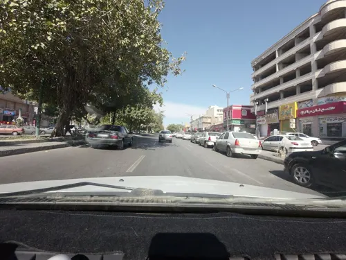
- Street-level photo, edi21881, CC BY-SA 4.0
- Street-level photo, edi21881, CC BY-SA 4.0
- Street-level photo, edi21881, CC BY-SA 4.0
- Street-level photo, edi21881, CC BY-SA 4.0
- Street-level photo, edi21881, CC BY-SA 4.0
- Street-level photo, edi21881, CC BY-SA 4.0
- Street-level photo, edi21881, CC BY-SA 4.0
- Street-level photo, edi21881, CC BY-SA 4.0
- Street-level photo, edi21881, CC BY-SA 4.0
- Street-level photo, edi21881, CC BY-SA 4.0
- Street-level photo, edi21881, CC BY-SA 4.0
- Street-level photo, edi21881, CC BY-SA 4.0
- Street-level photo, edi21881, CC BY-SA 4.0
- Street-level photo, edi21881, CC BY-SA 4.0
- Street-level photo, edi21881, CC BY-SA 4.0
- Street-level photo, edi21881, CC BY-SA 4.0
- Street-level photo, edi21881, CC BY-SA 4.0
- Street-level photo, edi21881, CC BY-SA 4.0
- Street-level photo, edi21881, CC BY-SA 4.0
- Street-level photo, edi21881, CC BY-SA 4.0
- Street-level photo, edi21881, CC BY-SA 4.0
- Street-level photo, edi21881, CC BY-SA 4.0
- Street-level photo, edi21881, CC BY-SA 4.0
- Street-level photo, edi21881, CC BY-SA 4.0
- Street-level photo, edi21881, CC BY-SA 4.0


Page built November 8, 2026. Spotted a mistake? Tell us or suggest a place.