


Bīrjand, Iran
بیرجند
Bīrjand is a regional capital of 196,982 people in South Khorasan Province, Iran.
Why visit Bīrjand
Townapedia lists 17 museums and landmarks, 40 parks and trails, 78 places to eat, 11 places to stay and 3 attractions in and around town.
Highlights include Navab Hosseiniyeh, خانه ققنوس, Akbarieh Garden and Tohid park.
Weather in Bīrjand
Forecast from MET Norway (CC BY 4.0). Full forecast
About Bīrjand
Birjand (Persian: بیرجند; [biːɾˈdʒæːnd] ) is a city in the Central District of Birjand County, South Khorasan province, Iran, serving as capital of the province, the county, and the district. The city is known for its saffron, barberry, jujube, and handmade carpet exports.
From the Wikipedia article Birjand (this version), under CC BY-SA 4.0.
Travel tips from other travellers: Bīrjand on Wikivoyage (CC BY-SA 4.0).
Things to do3

Ferdowsi cinema
Cinema and theater · 2.0 km
میدان امام خمینی, بیرجند
Museums and landmarks17


5 more on the map.
Parks, trails and playgrounds40



28 more on the map.
Restaurants and cafes78

Didar House
Restaurant · Coffee Shop, Iranian, Breakfast · 1.8 km
Creative cultural cafe and gathering space
Mo-Su 08:00-23:30
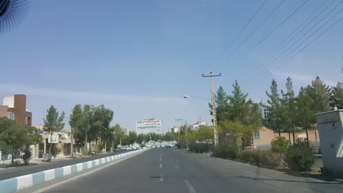
آبمیوه بستنی ارکیده
Ice cream · Ice Cream, Coffee Shop, Juice · 2.3 km
محلاتی
09:30-13:30 , 16:30-23:59
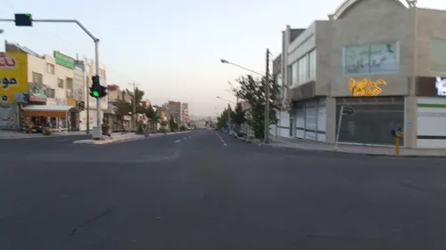
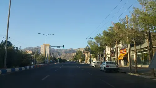
Yaas Takeaway Restaurant
Restaurant · Persian · 1.8 km
روزهای جمعه و دوشنبه شله مشهدی نیز عرضه می شود
بلوار پاسداران
Mo-Su 12:00-23:00
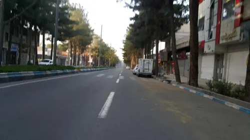
Lema
Cafe · Coffee Shop · 0.9 km
بلوار معلم, بیرجند
Sa-Fr 09:00-17:00
Madaen Restaurant
Restaurant · Persian · 2.2 km
بلوار شهید محلاتی
Mo-Su 19:00-23:00
کیترینگ و غذای آماده یاس توحید
Restaurant · Persian · 1.2 km
خیابان توحید
Mo-Su 12:00-23:00



ساندویچ ملک
Restaurant · Pizza, Sandwich · 2.3 km
بلوار معلم, بیرجند
10:00-14:00;19:00-01:00
کافه شب
Cafe · 1.4 km
خیابان دانشگاه
Mo-Th, Sa, Su 09:00-14:00; Mo-Th, Sa, Su 17:00-23:00
Mahdi Restaurant
Restaurant · Chicken, Kebab, Persian, Local · 0.7 km
خیابان شهید خلیل تهماسبی
66 more on the map.
History
The first citation of the city in the historical literature belongs to the famous book Mojem Alboldan, by Yaqut Homavi (13th century) which introduces the Birjand as the most beautiful town in the Qohestan. Before this, Birjand had probably not been as big and important as a municipality but rather as a rural community. However, the Birjand geographical area had its historical and political importance long before the emergence of the city of Birjand. Many citations of the region are available in the original literature like Ehya al-Molook of the once important localities in the area. Apart from literature, the oldest evidence of the history of the region is the ancient Lakh-Mazar inscription in the Kooch village some 25 km (16 mi) southeast of Birjand. Numerous fine drawings and inscriptions are carved on an igneous rock surface. The inscriptions include pictograms as well as Arsacid Pahlavi, Sasanian Pahlavi, Arabic, and Persian scripts.
In 1931, Birjand Municipality was opened next to the tomb of Hakim Nazari and started its activities with 12 employees. The first mayor of Birjand was Mr. Afshar, who served as mayor for six years.
From the History section of Birjand on Wikipedia, under CC BY-SA 4.0.
Where to stay11
Churches and places of worship39
Sunni Prayer Hall Majesty Ali (mabpwh)
Place of worship · Sunni · 2.2 km
خیابان مالک اشتر, بیرجند
نمازخانه اهل سنت امیر حمزه (رض)
Place of worship · Sunni · 3.7 km
نیروی هوایی ۲۸, بیرجند
Shopping40
خدمات نور و صدای پژواک
Grocery · 1.9 km
30 خیابان ۱۵ خرداد بین میدان هفت تیر و ازادگان (چهار راه قنادی طوس) پلاک 30, بیرجند
هایپرساختمانی مان شید
Shopping center · 2.1 km
بین انقلاب5.1 و شهید کلاهدوز, بیرجند
Gas and EV charging15
Schools, colleges and libraries69
Healthcare32
کلینیک تخصصی و فوق تخصصی بیمارستان ولیعصر
Clinic and pharmacy · 1.5 km
بلوار زکریای رازی, بیرجند
Map of Bīrjand
250 places. The map loads OpenStreetMap tiles when you open it.
Getting there and nearby towns
Birjand Shahid Kaveh International Airport (XBJ) is the nearest airport with scheduled flights listed in OpenStreetMap, 7 km away.
- Khūsf 32 km west, about 32 min by car
- Mūd 33 km southeast, about 33 min by car
- Sarbīsheh 63 km southeast, about 1 h by car
- Nīg 76 km north, about 1 h 15 min by car
- Zūl 83 km north, about 1 h 30 min by car
Drive times are estimates from straight-line distance, not routes.
Local news
Headlines from INDB.
Reviews, tips and questions
Loading what members have shared...
Sources and licences
- GeoNames (CC BY 4.0): population, coordinates, regions and time zone
- Mapillary (see each image): photos
- OpenStreetMap contributors (ODbL 1.0): places, airports, map data
- Wikidata (CC0 1.0): elevation, founding date, time zone, website, landmarks and historic places
- Wikimedia Commons (see each image): photos
- Wikipedia (CC BY-SA 4.0): overview and history text
Photo credits
- بیرجند پانوراما, Pendar83, CC BY-SA 4.0
- Administration Offices of the University of Birjand, Birjadinternational, CC BY-SA 4.0
- Bande Omar Shah, DJ ViCTiM, CC BY-SA 4.0
- عمارت اکبریه،صاعقه وباران, Homeira ahrari, CC BY-SA 4.0
- مجموعه اکبریه، مسجد و عمارت و باغ, Soroush.javadian, CC BY-SA 4.0
- بند دره, Yaser1358, CC BY-SA 4.0
- برج كاشانه, Nooshin nokhanji, CC BY-SA 4.0
- عکس بنددره, Ahmadalisoorgi, CC BY-SA 4.0
- Shokatieh, مردونیه کبیر, CC BY-SA 4.0
- باغ اکبریه داخل, EmetMira, CC BY 4.0
- اکبریه.1403.2, FT.mira, CC BY 4.0
- اکبریه.1403.4, FT.mira, CC BY 4.0
- حرکت طبیعت, EmetMira, CC BY 4.0
- مسیر نگاه, EmetMira, CC BY 4.0
- اکبریه.1403.5, FT.mira, CC BY 4.0
- بافت درهای چوبی, EmetMira, CC BY 4.0
- پیچ و تاب هنر, EmetMira, CC BY 4.0
- اکبریه.1403.1, FT.mira, CC BY 4.0
- اکبریه. 1403.3, FT.mira, CC BY 4.0
- گل های باغ اکبریه, EmetMira, CC BY 4.0
- Akbarieh Garden Axe, Mahmoodreza Mohajerani, CC BY-SA 4.0
- Akbarieh-garden, Nima.m1, CC BY-SA 4.0
- Akbarieh-garden3, Nima.m1, CC BY-SA 4.0
- Akbarieh-garden2, Nima.m1, CC BY-SA 4.0
- Akbarieh-garden1, Nima.m1, CC BY-SA 4.0
- Akbarieh-garden6, Nima.m1, CC BY-SA 4.0
- Akbarieh-garden5, Nima.m1, CC BY-SA 4.0
- Chain dog in Birjand 2017, Rotelshid, CC BY-SA 4.0
- Akbarieh-garden4, Nima.m1, CC BY-SA 4.0
- Kaj, Samadinia, CC BY-SA 3.0
- IMAG0287, Samadinia, CC BY-SA 3.0
- Akbarieh garden1, Nima.m1, CC BY-SA 4.0
- Akbarieh-garden7, Nima.m1, CC BY-SA 4.0
- Ice house, Birjand, Iran, 2004-01 (5771111944), Francisco Monteiro from Lisboa, Portugal, CC BY 2.0
- Birjand, Iran, 2004-01 (5740745589), Francisco Monteiro from Lisboa, Portugal, CC BY 2.0
- Birjand, Iran, 2004-01 (5740745587), Francisco Monteiro from Lisboa, Portugal, CC BY 2.0
- Ice house, Birjand, Iran, 2004-01 (5771111944) (cropped), Francisco Monteiro from Lisboa, Portugal, CC BY 2.0
- Sharom, Birjand, Iran, 2004-01 (5755702740), Francisco Monteiro from Lisboa, Portugal, CC BY 2.0
- قلعه تاریخی بیرجند, مردونیه کبیر, CC BY-SA 4.0
- QaemHeydarifan, Alimoharami59, CC BY-SA 4.0
- Street-level photo, imanmoghimiq30, CC BY-SA 4.0
- Street-level photo, imanmoghimiq30, CC BY-SA 4.0
- Street-level photo, imanmoghimiq30, CC BY-SA 4.0
- Street-level photo, imanmoghimiq30, CC BY-SA 4.0
- Street-level photo, imanmoghimiq30, CC BY-SA 4.0
- Street-level photo, imanmoghimiq30, CC BY-SA 4.0
- Street-level photo, imanmoghimiq30, CC BY-SA 4.0
- Street-level photo, imanmoghimiq30, CC BY-SA 4.0
- Street-level photo, imanmoghimiq30, CC BY-SA 4.0
- Street-level photo, imanmoghimiq30, CC BY-SA 4.0
- Street-level photo, imanmoghimiq30, CC BY-SA 4.0
- Street-level photo, imanmoghimiq30, CC BY-SA 4.0
- Street-level photo, imanmoghimiq30, CC BY-SA 4.0


Page built November 8, 2026. Spotted a mistake? Tell us or suggest a place.