




Why visit Eqlīd
Townapedia lists 5 museums and landmarks, 7 parks and trails, 33 places to eat, 7 places to stay and 2 attractions in and around town.
Highlights include حوضچه دختر گبر, عمارت تاریخی هوشیار and پارک ساعت.
Weather in Eqlīd
Forecast from MET Norway (CC BY 4.0). Full forecast
About Eqlīd
Eqlid (Persian: اقلید) is a city in the Central District of Eqlid County, Fars province, Iran, serving as capital of both the county and the district.
From the Wikipedia article Eqlid (this version), under CC BY-SA 4.0.
Things to do2

سالن آمفی تئاتر اداره ارشاد
Cinema and theater · 0.9 km
خیابان شهید عبدالحمید مسعودی, اقلید
Museums and landmarks5
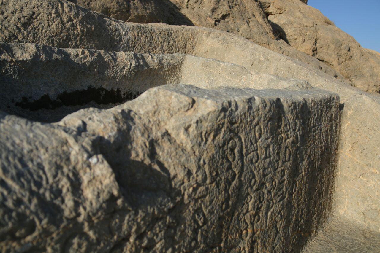
حوضچه دختر گبر
Monument and historic site · 1.4 km
خیابان انقلاب, اقلید

آرامگاه سلطان ابراهیم
Monument and historic site · 1.2 km
خیابان شهید اندرزگو, اقلید

Parks, trails and playgrounds7

Restaurants and cafes33



21 more on the map.
Where to stay7
Churches and places of worship48
حسینیه بقیه الله الاعظم باغستان
Place of worship · Shia
کوچه شهید طباطبائی, اقلید
Shopping19
Schools, colleges and libraries38
دبیرستان پسرانه شاهد امام خامنه ای
School · Shia · 0.7 km
خیابان امام خمینی, اقلید
مجتمع آموزشی غیردولتی دخترانه سما
School · Shia · 1.5 km
بلوار آیت الله ابطحی, اقلید
هنرستان کاردانش دخترانه زینب کبری
School · Shia · 2.1 km
کوچه شهید رسول قلندری, اقلید
Healthcare14
Map of Eqlīd
173 places. The map loads OpenStreetMap tiles when you open it.
Getting there and nearby towns
Yasuj Airport (YES) is the nearest airport with scheduled flights listed in OpenStreetMap, 112 km away.
- ‘Alīābād 19 km southwest, about 19 min by car
- Nez̧āmābād 24 km southwest, about 24 min by car
- Khonjesht 27 km south, about 27 min by car
- Abadeh 29 km north, about 29 min by car
- Āb Bārīk 30 km southwest, about 30 min by car
- Farāgheh 36 km northeast, about 36 min by car
- Deh-e ‘Arab 36 km northeast, about 36 min by car
- Şoghād 37 km northwest, about 37 min by car
- Bahman 39 km northwest, about 39 min by car
- Āsopās 40 km southwest, about 40 min by car
Drive times are estimates from straight-line distance, not routes.
Local news
Headlines from INDB.
Reviews, tips and questions
Loading what members have shared...
Sources and licences
- GeoNames (CC BY 4.0): population, coordinates, regions and time zone
- OpenStreetMap contributors (ODbL 1.0): places, airports, map data
- Wikidata (CC0 1.0): elevation, founding date, time zone, website
- Wikimedia Commons (see each image): photos
- Wikipedia (CC BY-SA 4.0): overview and history text
Photo credits
- Eghlid, Ali asadi90, CC BY-SA 3.0
- Hozche-Dokhtar-Gabr-sangneveshte-eghlid, Ali asadi90, CC BY-SA 4.0
- ISS067-E-1165 - View of Earth, Earth Science and Remote Sensing Unit , Lyndon B. Johnson Space Center, Public domain
- ISS067-E-1164 - View of Earth, Earth Science and Remote Sensing Unit , Lyndon B. Johnson Space Center, Public domain
- ISS067-E-1163 - View of Earth, Earth Science and Remote Sensing Unit , Lyndon B. Johnson Space Center, Public domain
- ISS067-E-1166 - View of Earth, Earth Science and Remote Sensing Unit , Lyndon B. Johnson Space Center, Public domain
- Fars - Eqlid - The big tree - panoramio, Alireza Javaheri, CC BY 3.0
- Fars - Eghlid - Old tree - panoramio, Alireza Javaheri, CC BY 3.0
- Fars - Eghlid - panoramio, Alireza Javaheri, CC BY 3.0
- Eghlid - panoramio (5), Alireza Javaheri, CC BY 3.0
- Eghlid - panoramio (4), Alireza Javaheri, CC BY 3.0
- Eghlid - panoramio (2), Alireza Javaheri, CC BY 3.0
- Around Eghlid - panoramio, Alireza Javaheri, CC BY 3.0
- Eghlid - Cheshmerasoul 3 - panoramio, Alireza Javaheri, CC BY 3.0
- Eghlid - Cheshmerasoul 4 - panoramio, Alireza Javaheri, CC BY 3.0


Page built November 8, 2026. Spotted a mistake? Tell us or suggest a place.