


))_-_panoramio.jpg)
Weather in Lavandevīl
Forecast from MET Norway (CC BY 4.0). Full forecast
About Lavandevīl
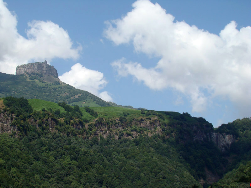
Lavandevil (Persian: لوندويل) is a city in, and the capital of, Lavandevil District of Astara County, Gilan province, Iran. It also serves as the administrative center for Lavandevil Rural District. The city lies between the coast of the Caspian Sea and the northeastern Alborz mountain range, located just south of Lavandevil Wildlife Refuge.
From the Wikipedia article Lavandevil (this version), under CC BY-SA 4.0.
Churches and places of worship3

Gas and EV charging2

Schools, colleges and libraries1

Healthcare1

History
In 2003, the village of Lavandevil merged with the villages of Aqajan Mahalleh (آقاجان محله), Bahram Mahalleh (بهرام محله), Gerdeh Sara (گردهسرا), Khalaj Mahalleh (خلج محله), Lavandevil Bazar (لوندویل بازار), and Rahim Mahalleh (رحیم محله), to form the city of Lavandevil.
From the History section of Lavandevil on Wikipedia, under CC BY-SA 4.0.
Map of Lavandevīl
7 places. The map loads OpenStreetMap tiles when you open it.
Getting there and nearby towns
Ardabil Airport (ADU) is the nearest airport with scheduled flights listed in OpenStreetMap, 40 km away.
- Khosrow Maḩalleh 2 km west, about 2 min by car
- Vīznah 6 km south, about 6 min by car
- Lemīr 9 km south, about 9 min by car
- Āstārā 13 km north, about 13 min by car
- Pālāsī 13 km south, about 13 min by car
- Bījārehbīn 14 km north, about 14 min by car
- Chūbar 14 km south, about 14 min by car
- Ḩavīq 18 km south, about 18 min by car
- Ardabīl 51 km west, about 51 min by car
- Khalkhāl 83 km south, about 1 h 30 min by car
Drive times are estimates from straight-line distance, not routes.
Local news
Headlines from INDB.
Reviews, tips and questions
Loading what members have shared...
Sources and licences
- GeoNames (CC BY 4.0): population, coordinates, regions and time zone
- OpenStreetMap contributors (ODbL 1.0): places, airports, map data
- Wikidata (CC0 1.0): elevation, founding date, time zone, website
- Wikimedia Commons (see each image): photos
- Wikipedia (CC BY-SA 4.0): overview and history text
Photo credits
- LATON3, داود مجتهدی, Public domain
- (((ساحل خزر))) - panoramio, auoob farabi, CC BY-SA 3.0
Page built November 8, 2026. Spotted a mistake? Tell us or suggest a place.