




Meshgīn Shahr, Iran
مشگینشهر
Meshgīn Shahr is a town of 90,987 people in Ardabil Province, Iran.
Why visit Meshgīn Shahr
Townapedia lists 6 museums and landmarks, 11 parks and trails, 6 places to eat, 5 places to stay and 3 attractions in and around town.
Highlights include Meshginshahr suspension bridge, Sheikh Haydar Mausoleum and مقبره شیخ حیدر.
Weather in Meshgīn Shahr
Forecast from MET Norway (CC BY 4.0). Full forecast
About Meshgīn Shahr
Meshginshahr (Persian: مشگين شهر; South Azerbaijani: خیاو, romanized: Xiyav) is a city in the Central District of Meshgin Shahr County, Ardabil province, Iran, serving as capital of both the county and the district.
From the Wikipedia article Meshginshahr (this version), under CC BY-SA 4.0.
Things to do3

Museums and landmarks6

Sheikh Haydar Mausoleum
Monument and historic site
Mausoleum tower in Meshginshahr, Iranian national heritage site




Parks, trails and playgrounds11


Restaurants and cafes6



History
The 14th-century author Hamdallah Mustawfi mentioned the city, as Khiyāv, as one of the seven cities in the tuman of Pishkin, or Mishkin. He distinguished between the cities of Khiyav and Pishkin: according to him, Khiyav lay to the south of Mount Sablan and had a warm climate, while Pishkin (which he said had formerly been called "Varāvī") was to the north of Mount Sablan and had a damp climate because the mountain shielded it from the sun. Both cities drew their water from the streams coming down from the mountain.
The district of Pishkin, he wrote, grew both grain and fruit in abundance, while Khiyav mostly grew grain. Pishkin was assessed for a tax value of 5,200 dinars, while Khiyav was assessed at 2,000. Mustawfi wrote that Pishkin's population was mostly Shafi'i Sunnis, with Shi'i and Hanafi Sunni minorities. He said nothing about Khiyav's religious makeup, but instead described its population as mostly "boot-makers and cloth-workers".
From the History section of Meshginshahr on Wikipedia, under CC BY-SA 4.0.
Where to stay5
Churches and places of worship9
Shopping4
Gas and EV charging5
Schools, colleges and libraries29
Healthcare5
Map of Meshgīn Shahr
83 places. The map loads OpenStreetMap tiles when you open it.
Getting there and nearby towns
Ardabil Airport (ADU) is the nearest airport with scheduled flights listed in OpenStreetMap, 65 km away.
- Ālanī 6 km northeast, about 6 min by car
- Ḩīq 9 km west, about 9 min by car
- Lāhrūd 18 km northeast, about 18 min by car
- Kūjanaq 18 km northwest, about 18 min by car
- Şāḩeb Dīvān 18 km northwest, about 18 min by car
- Fakhrābād 21 km northeast, about 21 min by car
- Dadeh Beyglū 22 km northeast, about 22 min by car
- Doshtūr 24 km northwest, about 24 min by car
- Lombar 25 km northeast, about 25 min by car
- Ardabīl 56 km east, about 56 min by car
Drive times are estimates from straight-line distance, not routes.
Local news
Headlines from INDB.
Reviews, tips and questions
Loading what members have shared...
Sources and licences
- GeoNames (CC BY 4.0): population, coordinates, regions and time zone
- OpenStreetMap contributors (ODbL 1.0): places, airports, map data
- Wikidata (CC0 1.0): elevation, founding date, time zone, website, landmarks and historic places
- Wikimedia Commons (see each image): photos
- Wikipedia (CC BY-SA 4.0): overview and history text
Photo credits
- 139402271051485035317204 آئین افتتاح بزرگترین پل معلق خاورمیانه, Mohsen Zare, CC BY 4.0
- Arshoq Castle and Sabalan, Matthias Blume, CC BY-SA 4.0
- Sheykh Heydar Tomb Meshkinshahr, Alireza Javaheri, CC BY 3.0
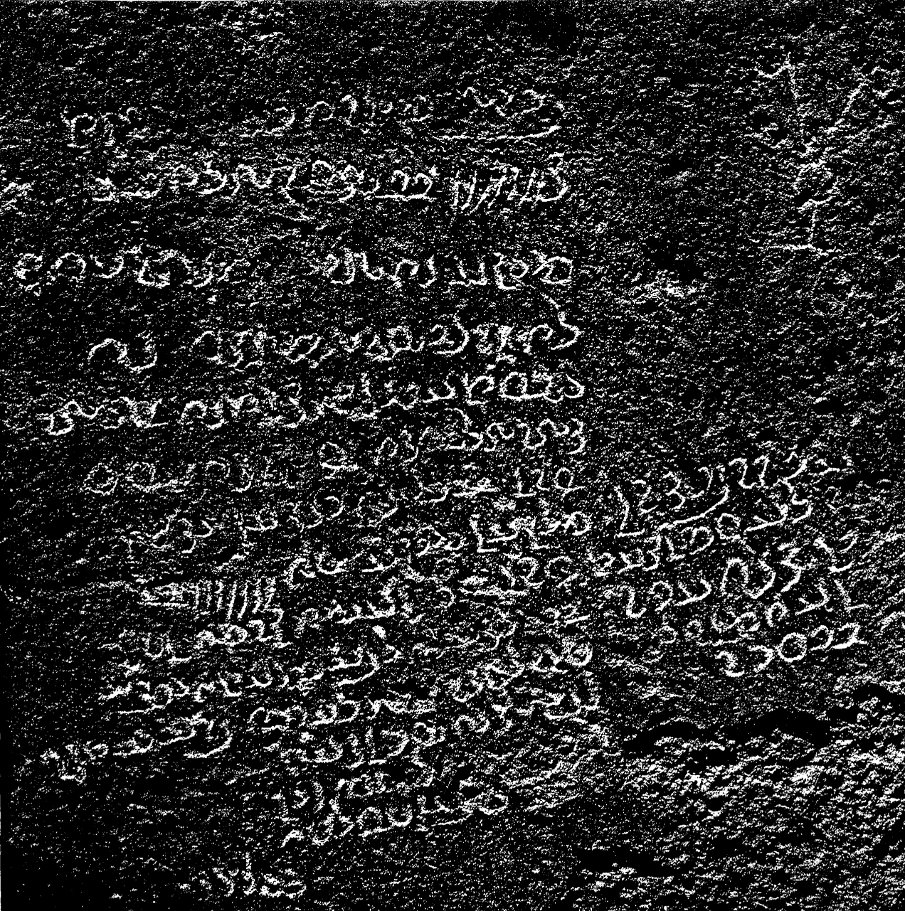
- Meshkin Shahr Pahlavi Inscription Original, Hmdbani, CC BY-SA 4.0
- Sheikh Heydar tomb, Meisam.sh57, CC BY-SA 4.0
- IMAG6539, V.Kavusi, CC BY-SA 4.0
- IMAG6538, V.Kavusi, CC BY-SA 4.0
- IMAG6544, V.Kavusi, CC BY-SA 4.0
- Meshkinshahr - Sheykh heydar - panoramio (1), Alireza Javaheri, CC BY 3.0
- Meshkinshahr - Sheykh heydar - panoramio, Alireza Javaheri, CC BY 3.0
- مقبره شیخ حیدر ۱, Abolfazl1981, CC BY-SA 4.0
- Farzane02, Farzane1365, CC BY-SA 4.0
- Sheykh Heydar tomb, Ayazsa, CC BY-SA 4.0
- Sheykh Heydar tomb old wall, Ayazsa, CC BY-SA 4.0
- Tomb of Sheikh Hثغیش, 10-shahramsalimi, CC BY-SA 4.0
- بقعه شیخ حیدر 2, Siamak Kargar, CC BY-SA 4.0
- بقعه شیخ حیدر, Siamak Kargar, CC BY-SA 4.0
- Meshkinshahr - Sheykh heydar - panoramio (2), Alireza Javaheri, CC BY 3.0
- IMAG6530, V.Kavusi, CC BY-SA 4.0
- Meshkinshahr - The tomb of Sheykh Heydar - panoramio, Alireza Javaheri, CC BY 3.0
- IMAG6494, V.Kavusi, CC BY-SA 4.0
- Interior of Sheikh Haydar Mausoleum, V.Kavusi, CC BY-SA 4.0
- IMAG6495, V.Kavusi, CC BY-SA 4.0
- IMAG6552, V.Kavusi, CC BY-SA 4.0
- IMAG6555, V.Kavusi, CC BY-SA 4.0
- مقبره شیخ حیدر ۲, Abolfazl1981, CC BY-SA 4.0
- مقبره شیخ حیدر ۳, Abolfazl1981, CC BY-SA 4.0
- کهنهقلعه, Hosein.Kheiryfam, CC BY-SA 4.0
- Farzane, Farzane1365, CC BY-SA 4.0
- Mary church, Miladkhfa, CC BY-SA 4.0
- Khiav Chayi Park, Hmdbani, CC BY-SA 4.0
- (((پل معلق مشگین شهر ))) - panoramio, auoob farabi, CC BY-SA 3.0
- پل معلق مشگین شهر - panoramio, auoob farabi, CC BY-SA 3.0


))_-_panoramio.jpg)

Page built November 8, 2026. Spotted a mistake? Tell us or suggest a place.