

Why visit Shīrvān
Townapedia lists 2 museums and landmarks, 14 parks and trails, 11 places to eat, 2 places to stay and 1 attraction in and around town.
Weather in Shīrvān
Forecast from MET Norway (CC BY 4.0). Full forecast
About Shīrvān
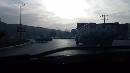
Shirvan (Persian: شيروان) is a city in the Central District of Shirvan County, North Khorasan province, Iran, serving as capital of both the county and the district. The city has been significant industrially with sugar beet factories. It is also significant historically (Nader hill), geographically (Honameh), and anthropologically (caves around the city).
From the Wikipedia article Shirvan, Iran (this version), under CC BY-SA 4.0.
Things to do1

Museums and landmarks2


Parks, trails and playgrounds14


2 more on the map.
Restaurants and cafes11

کافه ونیز شیروان
Cafe · Coffee Shop, Italian, Juice, Ice Cream, Cake, Pasta
کافی شاپ ونیز سرو انواع قهوه و نوشیدنی;نوشیدنی_سرد_و_گرم
امام خمینی ۱, شیروان
24/7
Aban coffeeshop
Cafe
No. 64 کاشانی ۱۱, shirvan
sa-th 08:00-13:30 17:00-22:00 Fr 17:00-22:00




Where to stay2
Churches and places of worship6
Shopping7
Gas and EV charging3
Schools, colleges and libraries19
دبیرستان دخترانه دوره اول پویش علم
School · 2.1 km
282 بعد از تفتازانی 20, شهر شیروان
Healthcare10
داروخانه دامپزشکی دکتر بهشتی
Clinic and pharmacy
کوچه دکتر شهید سیدحسین فاطمی, شیروان
Map of Shīrvān
75 places. The map loads OpenStreetMap tiles when you open it.
Getting there and nearby towns
Bojnurd International Airport (BJB) is the nearest airport with scheduled flights listed in OpenStreetMap, 56 km away.
- Khān Laq 3 km north, about 3 min by car
- Ḩoseynābād 9 km west, about 9 min by car
- Razmegān 9 km south, about 9 min by car
- Mollā Bāqer 14 km south, about 14 min by car
- Golīān 18 km south, about 18 min by car
- Fārūj 32 km southeast, about 32 min by car
- Dāghīān 38 km southeast, about 38 min by car
- Esfarāyen 51 km southwest, about 51 min by car
- Bojnūrd 54 km west, about 54 min by car
- Qūchān 61 km southeast, about 1 h by car
Drive times are estimates from straight-line distance, not routes.
Local news
Headlines from INDB.
Reviews, tips and questions
Loading what members have shared...
Sources and licences
- GeoNames (CC BY 4.0): population, coordinates, regions and time zone
- Mapillary (see each image): photos
- OpenStreetMap contributors (ODbL 1.0): places, airports, map data
- Wikidata (CC0 1.0): elevation, founding date, time zone, website
- Wikimedia Commons (see each image): photos
- Wikipedia (CC BY-SA 4.0): overview and history text
Photo credits
- لبلب, Sdg amir, CC BY-SA 4.0
- Street-level photo, saghapoor, CC BY-SA 4.0
- Street-level photo, saghapoor, CC BY-SA 4.0
- Street-level photo, saghapoor, CC BY-SA 4.0
Page built November 8, 2026. Spotted a mistake? Tell us or suggest a place.