


Ebetsu, Japan
江別市
Ebetsu is a town of 133,953 people in Hokkaido, Japan, founded in April 1, 1906.
Why visit Ebetsu
Townapedia lists 54 museums and landmarks, 174 parks and trails, 118 places to eat, 8 places to stay and 9 attractions in and around town.
Highlights include Health Sciences University of Hokkaido, Hokusei Gakuen University, Historical Village of Hokkaido and 江別古墳群.
Weather in Ebetsu
Forecast from MET Norway (CC BY 4.0). Full forecast
About Ebetsu
Ebetsu (江別市, Ebetsu-shi; Japanese pronunciation: [é̞.bè̞.t͡sɨ̀, è̞.bé̞.t͡sɨ̥.ɕì]) is a city in Ishikari Subprefecture, Hokkaido, Japan.
From the Wikipedia article Ebetsu (this version), under CC BY-SA 4.0.
Things to do9





Museums and landmarks54

Historical Village of Hokkaido
Museum · 8.1 km
Museum in Sapporo, Hokkaido, Japan
1, 札幌市
May-Sep 09:00-17:00; Oct-Apr 09:00-16:30



42 more on the map.
Parks, trails and playgrounds174

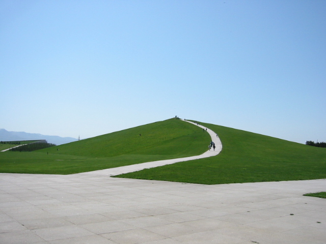

Nopporo Shinrin Kouen Prefectural Natural Park
Park · 7.4 km
Natural park in Hokkaido, Japan
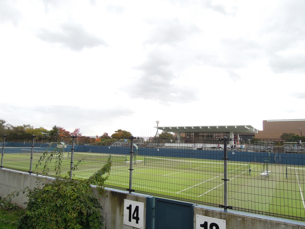


162 more on the map.
Restaurants and cafes118

Stamina Taro
Restaurant · Barbecue · 7.9 km
11, 札幌市
Mo-Fr 11:30-16:00,17:00-22:00; Sa-Su,PH 11:00-22:00


106 more on the map.
History
Ebetsu was settled originally by Japanese people in 1871, who came from the Miyagi Prefecture on Honshu. In 1878, tondenhei began moving into the area. When the Meiji Government, in 1878, designated Hokkaido as part of Japan, settlers began to flood the area. Ebetsu earned township status in 1916 and city status in 1954. During the 1960s and 1970s, a burgeoning population in Sapporo caused the population in Ebetsu to concurrently boom. In 1991, the city reached 100,000 people.
The name Ebetsu is derived from the Ainu name of the Chitose River which flows into the Ishikari River in the city. According to John Batchelor in his "An Ainu-English Dictionary" (chapter 1, section V: Place Names Considered) the Ainu language name was E-pet or "humour river" based on its murky colour.
From the History section of Ebetsu on Wikipedia, under CC BY-SA 4.0.
Where to stay8
Churches and places of worship22
Shopping34
Gas and EV charging26
Schools, colleges and libraries77
Healthcare40
Map of Ebetsu
250 places. The map loads OpenStreetMap tiles when you open it.
Getting there and nearby towns
Sapporo Okadama Airport (OKD) is the nearest airport with scheduled flights listed in OpenStreetMap, 14 km away.
- Horomui 9 km southeast, about 9 min by car
- Tōbetsu 12 km north, about 12 min by car
- Kitahiroshima 15 km south, about 15 min by car
- Naganuma 16 km southeast, about 16 min by car
- Sapporo 17 km west, about 17 min by car
- Iwamizawa 20 km northeast, about 20 min by car
- Kuriyama 20 km east, about 20 min by car
- Ishikari 22 km northwest, about 22 min by car
- Yuni 22 km southeast, about 22 min by car
- Eniwa 24 km south, about 24 min by car
Drive times are estimates from straight-line distance, not routes.
Local news
Headlines from INDB.
Reviews, tips and questions
Loading what members have shared...
Sources and licences
- GeoNames (CC BY 4.0): population, coordinates, regions and time zone
- OpenStreetMap contributors (ODbL 1.0): places, airports, map data
- Wikidata (CC0 1.0): elevation, founding date, time zone, website, landmarks and historic places
- Wikimedia Commons (see each image): photos
- Wikipedia (CC BY-SA 4.0): overview and history text
Photo credits
- Oji F-Tex Ebetsu Factory, 禁樹なずな, CC BY-SA 4.0
- AEON TOWN EBETSU, Him56, CC BY-SA 3.0
- Ainu food in Ebetsu, Hokkaido, Japan (40), Savannah Rivka, CC BY-SA 4.0
- Ainu food in Ebetsu, Hokkaido, Japan (37), Savannah Rivka, CC BY-SA 4.0
- Ainu food in Ebetsu, Hokkaido, Japan (38), Savannah Rivka, CC BY-SA 4.0
- Ainu food and dining setup in Ebetsu, Hokkaido, Japan (39), Savannah Rivka, CC BY-SA 4.0
- Ainu food in Ebetsu, Hokkaido, Japan (36), Savannah Rivka, CC BY-SA 4.0
- Aiba Ebetsu (2021-), Sinryow, CC BY 4.0
- EBRI (entrance part), Ebetsu, Sinryow, CC BY 4.0
- EBRI (building part), Ebetsu, Sinryow, CC BY 4.0
- AEON EBETSU, Him56, CC BY-SA 3.0
- Sanchoku Seisen Ichiba Ebetsu, Sinryow, CC BY 4.0
- Health Sciences University of Hokkaido, Ainosato Campus, Him56, CC BY-SA 3.0
- Rakuno gakuen daigaku campus, Kuriki at Japanese Wikipedia, Public domain
- 北海道開拓の村(Historical Village of Hokkaido) - panoramio (1), t-konno, CC BY-SA 3.0
- Moere02, もんもん at Japanese Wikipedia, Public domain
- Sapporo Satoland center house, Route275, CC BY-SA 3.0
- Sapporo LDS Temple 3, Tomoyuki Miyauchi, CC BY-SA 4.0
- Sapporo Gakuin University, K. Takeda at Japanese Wikipedia, CC BY-SA 3.0
- Mizuhoike, Route275, CC BY-SA 3.0
- Ebetsu Shrine, 禁樹なずな, CC BY-SA 4.0
- Hokkaidouritutoshokan, ダブルで, Public domain
- Nopporo Sports Park Tennis Court, Sinryow, CC BY-SA 3.0
- Hokkaido Museum, 禁樹なずな, CC BY-SA 4.0
- Sapporo City Momiji-no-oka Elementary School, 禁樹なずな, CC BY-SA 4.0
- JCHO Sapporo Hokushin Hospital, 禁樹なずな, CC BY-SA 4.0
- Ebetsu kofun group, Fk, CC BY-SA 3.0
- Ebetsu City Hospital, Ozizo, Public domain
- Sacred arch of Konopporo-shrine, Hiyotchi, CC BY-SA 3.0
- Nishikiyama Tenman-gū, 禁樹なずな, CC BY-SA 4.0
- Bodai-ji of Nanporo, 禁樹なずな, CC BY-SA 4.0
- Hokusho University, K. Takeda at Japanese Wikipedia, CC BY-SA 3.0
- Hokkaido Sapporo Toho High School, 禁樹なずな, CC BY-SA 4.0
- Ebetsu City Chuo Elementary School, 禁樹なずな, CC BY-SA 4.0
- Ebetsu City Ebetsu Dai-san Junior High School, 禁樹なずな, CC BY-SA 4.0
- Seisa Sapporo Momiji Campus, 禁樹なずな, CC BY-SA 4.0
- Asukayama Park of Ebetsu, 禁樹なずな, CC BY-SA 4.0
- イオン札幌厚別店, 織美左衛門, CC BY-SA 4.0
- Takasago Station (Hakodate Main Line), Him56, CC BY-SA 3.0
- 野幌マックスバリュ横の公園の噴水 - panoramio, kazuya.m, CC BY-SA 3.0


Page built November 4, 2026. Spotted a mistake? Tell us or suggest a place.