


Ginowan, Japan
宜野湾市
Ginowan is a town of 100,125 people in Okinawa, Japan, founded in July 1, 1962.
Why visit Ginowan
Townapedia lists 69 museums and landmarks, 47 parks and trails, 233 places to eat, 11 places to stay and 8 attractions in and around town.
Highlights include Okinawa Christian University, Okinawa International University, Ginowan City Museum and Sakima Art Museum.
Weather in Ginowan
Forecast from MET Norway (CC BY 4.0). Full forecast
About Ginowan
Ginowan (Japanese: 宜野湾市, Hepburn: Ginowan-shi; Okinawan: ジノーン, romanized: Jinōn) is a city located in Okinawa Prefecture, Japan. As of 2024, the city has an estimated population of 100,319, with 47,490 households and a population density of 5,142 persons per km2. The total area is 19.51 km2.
From the Wikipedia article Ginowan, Okinawa (this version), under CC BY-SA 4.0.
Things to do8

Okinawa Christian University
School · 2.8 km
Higher education institution in Okinawa Prefecture, Japan
字翁長777

Okinawa International University
School · 0.8 km
Higher education institution in Okinawa Prefecture, Japan
宜野湾2-6-1

Okinawa Prefectural University of Arts
School · 6.4 km
Higher education institution in Okinawa Prefecture, Japan
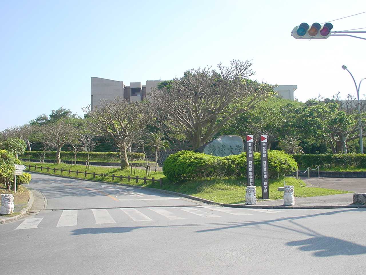
University of the Ryukyus
School · 1.4 km
Higher education institution in Okinawa Prefecture, Japan


Museums and landmarks69



Ireibaru Site
Monument and historic site · 6.8 km
Archaeological site in Japan
Ogidō Shell Mound
Monument and historic site · 5.0 km
Shell midden in Okinawa, Japan

Ōyama Shell Mound
Monument and historic site · 2.0 km
Early Kaizuka Period shellmound in Ginowan, Okinawa

Ryukyu University Museum (Fūjukan)
Museum · 1.4 km
Museum in Nishihara, Okinawa, Japan


Tamaudun
Monument and historic site · 6.8 km
Building in Naha, Okinawa Prefecture, Japan

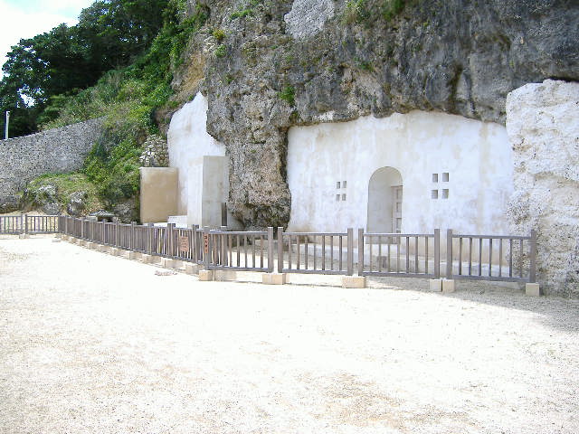
Urasoe yōdore
Monument and historic site · 3.4 km
Royal mausoleum in Okinawa
57 more on the map.
Parks, trails and playgrounds47




35 more on the map.
Restaurants and cafes233

105 DELI&肉酒場
Restaurant · Steak · 3.1 km
1, 宜野湾市
Mo-Sa 11:00-15:00, 18:00-24:00; Su 11:00-15:00, 18:00-23:00
CoCo ICHIBANYA
Restaurant · Curry, Japanese · 3.4 km
8 国道58号 宜野湾バイパス, 宜野湾市
11:00-23:00 open "悪天候、店舗の事情によりやむなく営業時間終了前に閉店する場合もございます"

KushiKatsu Tanaka
Restaurant · Japanese · 2.2 km
1 県道241号宜野湾南風原線, 浦添市
Sa-Su 12:00-00:00; Mo-Tu, Th-Fr 15:00-00:00
221 more on the map.
History
Ginowan was heavily damaged during World War II. After the war, half of the area of the city was allocated for use by the United States military. A refugee camp was built in the Nodake area of Ginowan. The population of the refugee camp increased exponentially, and the area was renamed Nodake City. The American occupation forces abolished Nodake City in 1946, and renamed the area Ginowan Village. Subsequently, the occupation authorities confiscated the main areas of Ginowan to build military bases. The area became a base town with military bases centered in Nodaka and Futenma.
Around 33% of Ginowan has been leased by the Japanese Ministry of Defense for use as a US military base under the Japanese and American mutual defense agreement. and hosts Marine Corps Air Station Futenma and part of the Marine Corps' Camp Foster.
From the History section of Ginowan, Okinawa on Wikipedia, under CC BY-SA 4.0.
Where to stay11
Churches and places of worship20
Church of Jesus Christ of Latter-Day Saints
Church · Mormon · 3.0 km
2-31-1 Nodake, 宜野湾市
Shopping58
Gas and EV charging22
Schools, colleges and libraries62
Healthcare51
Map of Ginowan
250 places. The map loads OpenStreetMap tiles when you open it.
Getting there and nearby towns
Kadena Air Base (DNA) is the nearest airport with scheduled flights listed in OpenStreetMap, 10 km away.
- Nishihara 2 km southwest, about 2 min by car
- Nakagusuku 3 km southeast, about 3 min by car
- Urasoe 3 km west, about 3 min by car
- Chatan 5 km north, about 5 min by car
- Kishaba 6 km northeast, about 6 min by car
- Yonabaru 7 km south, about 7 min by car
- Kanegusuku 8 km southwest, about 8 min by car
- Naha 10 km southwest, about 10 min by car
- Okinawa 9 km northeast, about 9 min by car
- Tomigusuku 12 km southwest, about 12 min by car
Drive times are estimates from straight-line distance, not routes.
Local news
Headlines from INDB.
Reviews, tips and questions
Loading what members have shared...
Sources and licences
- GeoNames (CC BY 4.0): population, coordinates, regions and time zone
- OpenStreetMap contributors (ODbL 1.0): places, airports, map data
- Wikidata (CC0 1.0): elevation, founding date, time zone, website, landmarks and historic places
- Wikimedia Commons (see each image): photos
- Wikipedia (CC BY-SA 4.0): overview and history text
Photo credits
- Ginowan Manhole hdsr BL90001 05, Hyppolyte de Saint-Rambert, CC BY 4.0
- Ginowan Manhole hdsr BL90001 04, Hyppolyte de Saint-Rambert, CC BY 4.0
- Ginowan Manhole hdsr BL90001 03, Hyppolyte de Saint-Rambert, CC BY 4.0
- Ginowan Manhole hdsr BL90001 01, Hyppolyte de Saint-Rambert, CC BY 4.0
- Ginowan Manhole hdsr BL90001 02, Hyppolyte de Saint-Rambert, CC BY 4.0
- Okinawa Prefectural University of Arts Naha Japan02bs5, 663highland, CC BY 2.5
- Ryuukyuudaigaku, Hykw-a4 at ja.Wikipedia, CC BY-SA 3.0
- Sakima Art Museum03n3000, 663highland, CC BY 2.5
- Chatan Museum 02, Bérangère444, CC BY 4.0
- Ōyama Shellmound (entrance stele), Bérangère444, CC BY-SA 4.0
- Naha Shuri Castle51s3s4200, 663highland, CC BY 2.5
- Tamaudun01s3s4592, 663highland, CC BY 2.5
- Urasoe Art Museum04s4s2940, 663highland, CC BY 2.5
- Urasoe Yodore3, あばさー, Public domain
- Lagunagarden, しんかわな, CC BY 3.0
- Ginowan City Museum03n3104, 663highland, CC BY 2.5
- ロンドンチャレンジ沖縄ツアー (6887994662), norio nakayama from saitama, japan, CC BY-SA 2.0
- Ginowan High School, Abasaa, Public domain
- Ryukyu-univ hospital, Kugel~commonswiki, Public domain
- Okikiri, Hykw-a4 at ja.Wikipedia, CC BY-SA 3.0
- 新 琉球大学病院, 琉球大学病院, CC0
- The Open University of Japan, 掬茶, CC BY-SA 3.0
- 琉球大学博物館(風樹館), Kiken68, CC0
- 千原池(琉球大学千原キャンパス内), Kiken68, CC0
- Ginoza son-ei stadium (2), 暇・投稿, CC BY-SA 3.0
- Ginoza son-ei stadium (1), 暇・投稿, CC BY-SA 3.0
- Ginoza son-ei stadium (3), 暇・投稿, CC BY-SA 3.0
- 琉球大学附属図書館本館ラーニングコモンズ, Kiken68, CC0
- 志喜屋記念図書館銘板, Kiken68, CC0
- 3d MLG Marines Attend Water Survival Advanced Training Program (9362537), U.S. Marine Corps photo by Lance Cpl. Marcus Henson, Public domain
- 3d MLG Marines Attend Water Survival Advanced Training Program (9362539), U.S. Marine Corps photo by Lance Cpl. Marcus Henson, Public domain
- 3d MLG Marines Attend Water Survival Advanced Training Program (9362534), U.S. Marine Corps photo by Lance Cpl. Marcus Henson, Public domain
- 首里の杜(琉球大学千原キャンパス), Kiken68, CC0
- 3d MLG Marines Attend Water Survival Advanced Training Program (9362538), U.S. Marine Corps photo by Lance Cpl. Marcus Henson, Public domain
- 「学而不厭」碑文と学ぶシーサー, Kiken68, CC0
- Orgyia postica 587338818, Weiting Liu, CC BY 4.0
- Nishibaru Agari-gā Well, Bérangère444, CC BY-SA 4.0
- 青色の椅子と長い机, たかやま123, CC0
- Nishibaru Hi-nu-kan Shrine Close-up, Bérangère444, CC BY-SA 4.0
- Nishibaru Hi-nu-kan Shrine 01, Bérangère444, CC BY-SA 4.0


Page built November 4, 2026. Spotted a mistake? Tell us or suggest a place.