


Kasumigaura, Japan
かすみがうら市
Kasumigaura is a town of 40,087 people in Ibaraki, Japan, founded in March 28, 2005.
Why visit Kasumigaura
Townapedia lists 44 museums and landmarks, 94 parks and trails, 105 places to eat, 17 places to stay and 9 attractions in and around town.
Highlights include Hirasawa Kanga ruins, Kamitakatsu Shell Mound, Flower park Ibaraki and Kijo Park.
Weather in Kasumigaura
Forecast from MET Norway (CC BY 4.0). Full forecast
About Kasumigaura
Kasumigaura (かすみがうら市, Kasumigaura-shi) is a city located in Ibaraki Prefecture, Japan. As of 1 July 2020, the city had an estimated population of 40,254 in 15,839 households and a population density of 257 persons per km2. The percentage of the population aged over 65 was 32.0%. The total area of the city is 156.60 square kilometres (60.46 sq mi). .
From the Wikipedia article Kasumigaura, Ibaraki (this version), under CC BY-SA 4.0.
Things to do9



Museums and landmarks44

Hirasawa Kanga ruins
Monument and historic site · 13.1 km
Archaeological site in Tsukuba, Ibaraki, Japan

Kamitakatsu Shell Mound
Monument and historic site · 11.1 km
Shell midden in Tsuchiura, Kantō, Japan

Konda Kanga ruins
Monument and historic site · 11.8 km
Archaeological site in Japan

Yokaren Peace Memorial Museum
Museum · 12.2 km
Museum in Ami, Ibaraki, Japan



32 more on the map.
Parks, trails and playgrounds94





82 more on the map.
Restaurants and cafes105


Hanamichi
Restaurant · Ramen · 9.2 km
Sa-Su 18:00-04:00; Mo 11:00-15:00; Tu-Fr 11:00-15:00, 18:00-04:00

酒と肴のたか木
Bar and pub · 6.2 km
7, 石岡市
Sa 11:30-20:00; Su 11:30-23:00; Mo-Tu,Th-Fr 17:00-23:00; We off
93 more on the map.
History
The village of Dejima was established within Niihari District on February 11, 1955 through the merger of the villages of Shimootsu, Minami, Ushiwata, Saga, Anshoku and Shishiko. It was elevated to town status on April 1, 1997 and was renamed Kasumigaura. The town of Kasumigaura merged with the neighboring town of Chiyoda on March 28, 2005, becoming the city of Kasumigaura.
From the History section of Kasumigaura, Ibaraki on Wikipedia, under CC BY-SA 4.0.
Where to stay17
Churches and places of worship32
Shopping41
Gas and EV charging14
Schools, colleges and libraries62
Healthcare40
Map of Kasumigaura
250 places. The map loads OpenStreetMap tiles when you open it.
Getting there and nearby towns
Ibaraki Airport (IBR) is the nearest airport with scheduled flights listed in OpenStreetMap, 16 km away.
- Ishioka 4 km northeast, about 4 min by car
- Tsuchiura 8 km southwest, about 8 min by car
- Tsukuba 14 km southwest, about 14 min by car
- Ami 14 km south, about 14 min by car
- Omitama 16 km northeast, about 16 min by car
- Makabe 18 km northwest, about 18 min by car
- Ushiku 23 km southwest, about 23 min by car
- Tomobe 22 km north, about 22 min by car
- Hokota 24 km east, about 24 min by car
- Iwase 26 km northwest, about 26 min by car
Drive times are estimates from straight-line distance, not routes.
Local news
Headlines from INDB.
Reviews, tips and questions
Loading what members have shared...
Sources and licences
- GeoNames (CC BY 4.0): population, coordinates, regions and time zone
- OpenStreetMap contributors (ODbL 1.0): places, airports, map data
- Wikidata (CC0 1.0): elevation, founding date, time zone, website, landmarks and historic places
- Wikimedia Commons (see each image): photos
- Wikipedia (CC BY-SA 4.0): overview and history text
Photo credits
- Kasumigaura City Office, 土浦大学, Public domain
- Ibararaki prefectural road route 64 (Tsuchiura-Kasama line) in Gotanda,Kasumigaura city, 小石川人晃, CC BY-SA 3.0
- Mt. Kankyo and Mt. Sengen (Kasumigaura City, Ibaraki Prefecture), 小石川人晃, CC BY-SA 4.0
- The Tsukuba Mountains as seen from Shimoshizuku, Kasumigaura City, 小石川人晃, CC BY-SA 4.0
- Mount Sengen seen from Shimoshizuku, Kasumigaura City, Ibaraki Prefecture, 小石川人晃, CC BY-SA 4.0
- 上高津貝塚遺跡-貝塚跡 - panoramio, Toshihiro Matsui, CC BY-SA 3.0
- Yokaren Peace memorial museum, Ami-town, Motokoka, CC BY-SA 4.0
- Tsukuba International University, Abasaa, Public domain
- Tsukuba International University Harukaze High School, Abasaa, Public domain
- Moats of Tsuchiura, Miyuki Meinaka, CC BY-SA 4.0
- Tsuchiurayasakajinja, Yorunooni, Public domain
- Tsuchiyajinja, Yorunooni, Public domain
- Tsuchiura Castle, User: (WT-shared) Tsuchiuradaigaku at wts wikivoyage, Public domain
- Tsuchiura City Lifelong Learning Building 2012, Miyuki Meinaka, CC BY-SA 3.0
- Tsuchiura City Manabe Elementary School, 小石川人晃, CC BY-SA 4.0
- Jofuku-ji (Tsuchiura), Abasaa, Public domain
- Atago-Jinja (Tsuchiura), Abasaa, Public domain
- The main temple of Tojo-ji temple in Tsutchiura city, Ibaraki prefecture, 小石川人晃, CC BY-SA 4.0
- "Shojuan" which is one of the buildings of Houn-ji temple (Takaoka, Tsuchiura city, Ibaraki prefecture), 小石川人晃, CC BY-SA 4.0
- National Hospital Organization Kasumigaura Medical Center, Waka77, CC0
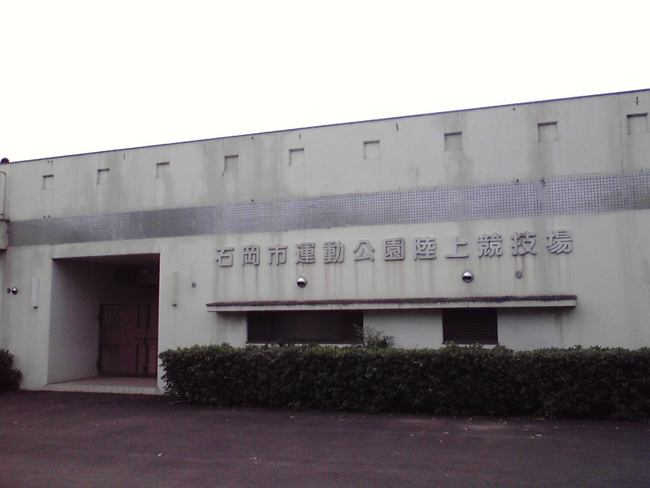
- Ishioka Track and Field Stadium, Miyuki Meinaka, Public domain
- TsuchiuraTechHS, 杉山真大, CC BY-SA 3.0
- Tsuchiura Kohoku High School, Abasaa, Public domain
- Tsuchi-ichi Building, Miyuki Meinaka, CC BY-SA 4.0
- Ishioka 1st High School Gate, 土浦大学, Public domain
- Ibaraki Flower Park 20160507, Coptic Light, CC BY-SA 4.0
- Tsuchiura Kyodo General Hospital, Otsuno, Miyuki Meinaka, CC BY-SA 4.0
- Joshinji Temple (Tsuchiura City), 小石川人晃, CC BY-SA 4.0
- Hirasawa Kanga Iseki3, ja:User:Masao, CC BY-SA 2.5
- Tsuchiura castle gate001, Vanquish0, CC BY-SA 4.0
- Isiokadaiichihs, Hykw-a4, CC BY-SA 3.0
- Kasumigaura Medical Center Apr. 2019, Miyuki Meinaka, CC BY-SA 4.0
- Houn-ji temple's main hall (Takaoka, Tsuchiura city, Ibaraki prefecture), 小石川人晃, CC BY-SA 4.0
- ARCUS Tsuchiura 2, Miyuki Meinaka, CC BY-SA 4.0
- Ibaraki, Ishioka, Ibaraki Flower Park Entrance, Strangesnow, CC BY-SA 4.0
- Fuchu-Atagoyama-kofun zenkei, Saigen Jiro, CC0
- かすみがうら - panoramio, Yobito KAYANUMA, CC BY-SA 3.0
- かすみがうら - panoramio (1), Yobito KAYANUMA, CC BY-SA 3.0
- Tohtohshu-Factory-2012071602, Hasec, CC0
- Tohtohshu-Factory-2012071601, Hasec, CC0


Page built November 5, 2026. Spotted a mistake? Tell us or suggest a place.