




Why visit Mishōhirajō
Townapedia lists 3 museums and landmarks, 5 parks and trails, 14 places to eat, 3 places to stay and 1 attraction in and around town.
Highlights include Hirajō Shell Mound and NANREKU Baseyama Park SHIDEN-KAI (N1K2-J) Exhibition Hall.
Weather in Mishōhirajō
Forecast from MET Norway (CC BY 4.0). Full forecast
Things to do1

Museums and landmarks3


NANREKU Baseyama Park SHIDEN-KAI (N1K2-J) Exhibition Hall
Museum · 2.2 km
紫電改展示館を訪れる上で、廃止された御荘湾ロープウェイが存在した時代は、最寄りのバス停が南レク御荘公園前だった。現在、宇和島バスを下車する場合、最寄りは平城札所前となる。下車後、御荘平城地区から展示館まで登ってくるために、愛媛県道32号線(平城高茂岬線)を使うことになる。こ...
Mo-Su 09:00-17:00; Dec 29-Jan 01 off
Parks, trails and playgrounds5

Restaurants and cafes14


珈琲専門店アンベール
Cafe · Sandwich, Coffee Shop · 0.7 km
1, 愛南町
08:00-21:00; We off; We[1,3] 08:00-21:00

2 more on the map.
Where to stay3
Churches and places of worship1
Shopping3
Gas and EV charging2
Schools, colleges and libraries7
Healthcare6
Map of Mishōhirajō
45 places. The map loads OpenStreetMap tiles when you open it.
Getting there and nearby towns
Oita Airport (OIT) is the nearest airport with scheduled flights listed in OpenStreetMap, 96 km away.
- Sukumo 16 km east, about 16 min by car
- Hiromi 20 km southeast, about 20 min by car
- Funagatōge 25 km east, about 25 min by car
- Uwajima 29 km north, about 29 min by car
- Matsumaru 32 km northeast, about 32 min by car
- Nakamura 34 km east, about 34 min by car
- Kihoku-chō 34 km north, about 34 min by car
- Shimoda 39 km east, about 39 min by car
- Uwa 45 km north, about 45 min by car
- Iyo 88 km north, about 1 h 30 min by car
Drive times are estimates from straight-line distance, not routes.
Local news
Headlines from INDB.
Reviews, tips and questions
Loading what members have shared...
Sources and licences
- GeoNames (CC BY 4.0): population, coordinates, regions and time zone
- OpenStreetMap contributors (ODbL 1.0): places, airports, map data
- Wikidata (CC0 1.0): elevation, founding date, time zone, website, landmarks and historic places
- Wikimedia Commons (see each image): photos
Photo credits
- Kanjizaiji 06, Reggaeman, CC BY-SA 3.0
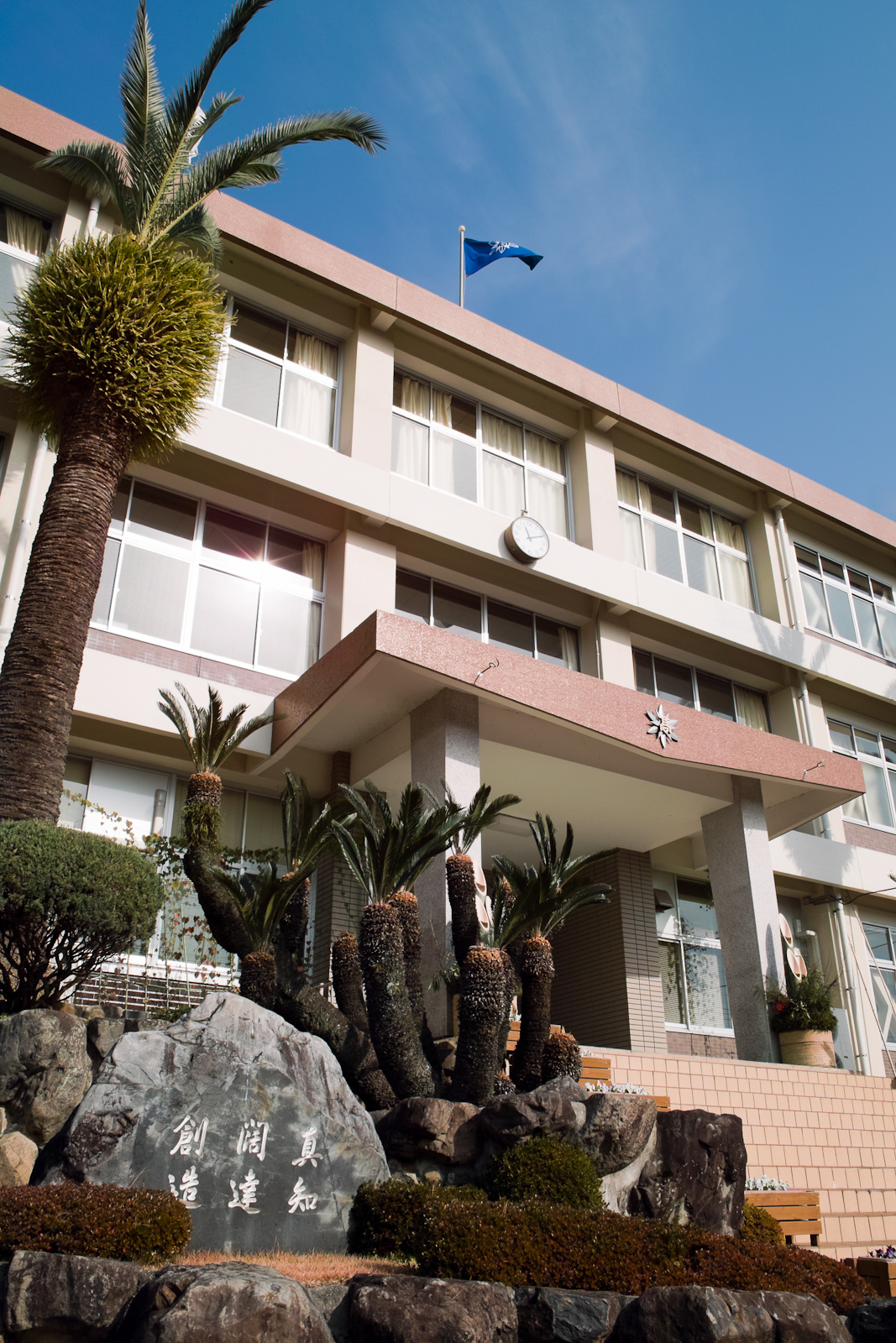
- MinamiuwaHS, fukuhiro, CC BY 3.0
- Kanzizaiji 01, Dokudami, CC BY-SA 4.0
- Satellite image of Ainan, Japan, Axelspace Corporation, CC BY-SA 4.0
- Uwajimajidosya-Jyohen-Station, Rsa, CC BY-SA 3.0
- 展示館の外から眺めた久良湾, Meii1122, CC BY-SA 4.0
- 紫電改「解剖図」パネル, Meii1122, CC BY-SA 4.0
- 引き揚げられた時の写真パネル, Meii1122, CC BY-SA 4.0
- 右側から見た紫電改, Meii1122, CC BY-SA 4.0
- 展示説明, Meii1122, CC BY-SA 4.0
- 右側から見た紫電改の全身, Meii1122, CC BY-SA 4.0
- 正面から見た紫電改, Meii1122, CC BY-SA 4.0
- 紫電改展示館の外観, Meii1122, CC BY-SA 4.0
- 紫電改展示館外観, Meii1122, CC BY-SA 4.0
- 翼内タンク, Meii1122, CC BY-SA 4.0
- 旧海軍艦上攻撃機「天山」のプロペラ, Meii1122, CC BY-SA 4.0


Page built November 4, 2026. Spotted a mistake? Tell us or suggest a place.