


Niihama, Japan
新居浜市
Niihama is a town of 123,059 people in Ehime, Japan, founded in November 3, 1937.
Why visit Niihama
Townapedia lists 52 museums and landmarks, 78 parks and trails, 121 places to eat, 18 places to stay and 28 attractions in and around town.
Highlights include Niihama National College of Technology, Mt. Higashi-Akaishi, Besshi Copper Mine Memorial Museum and Shikoku Railway Cultural Center(North Wing).
Weather in Niihama
Forecast from MET Norway (CC BY 4.0). Full forecast
About Niihama
Niihama (新居浜市, Niihama-shi) is a city located in the eastern part of Ehime Prefecture, Japan. As of 31 July 2022, the city had an estimated population of 115,824 in 57,781 households and a population density of 490 persons per km2. The total area of the city is 234.50 square kilometres (90.54 sq mi). It has the third largest population in Ehime, behind the prefectural capital of Matsuyama and the recently expanded city of Imabari.
From the Wikipedia article Niihama (this version), under CC BY-SA 4.0.
Travel tips from other travellers: Niihama on Wikivoyage (CC BY-SA 4.0).
Things to do28


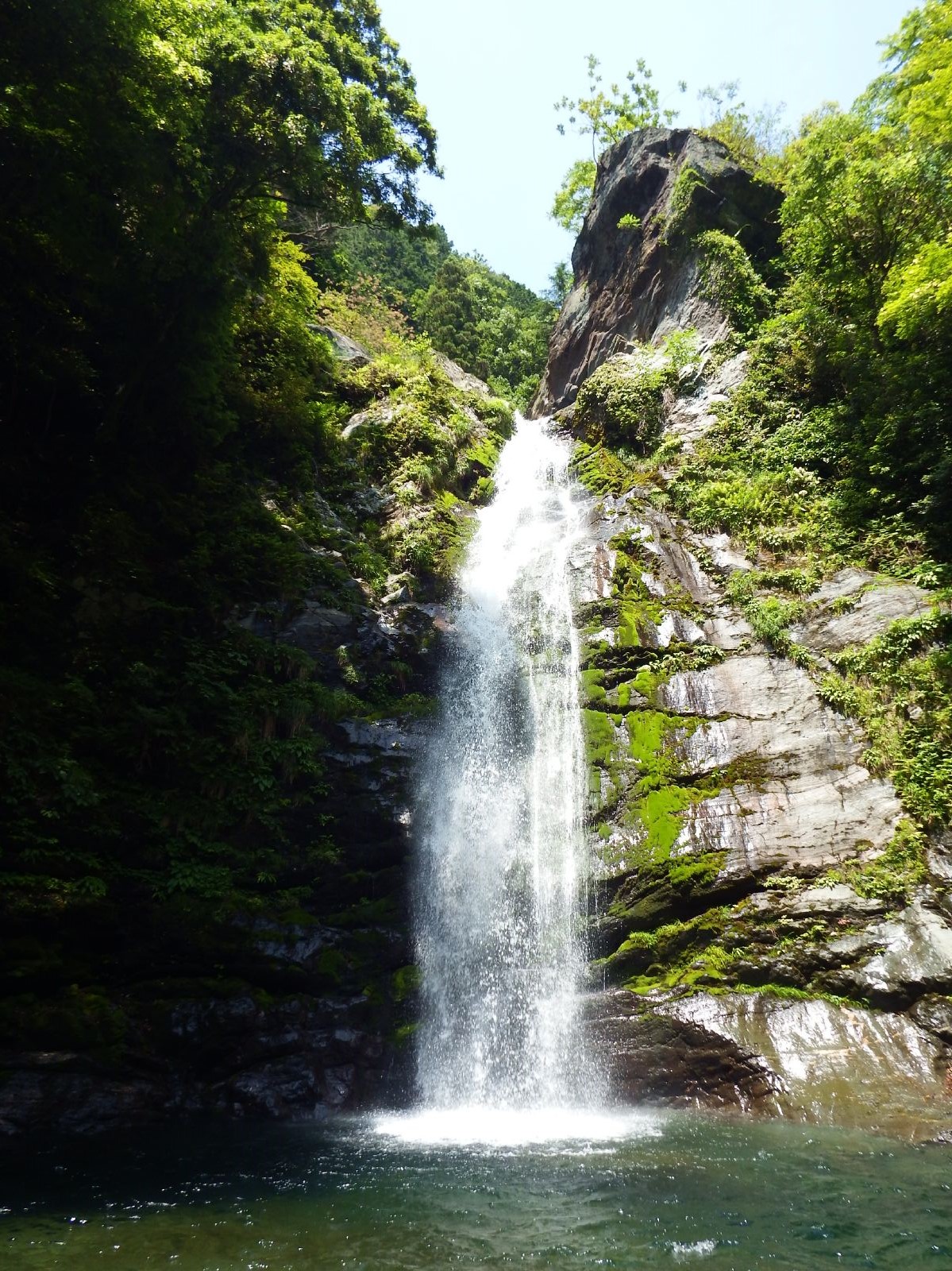




16 more on the map.
Museums and landmarks52


The Railway History Park In Saijo
Monument and historic site · 12.0 km



40 more on the map.
Parks, trails and playgrounds78





66 more on the map.
Restaurants and cafes121


Kouhii Taimu
Restaurant · Diner, International, Coffee Shop, Ice Cream · 4.4 km
国道11号

109 more on the map.
History
Niihama is located in ancient Iyo Province and has been inhabited since prehistoric times. Under the Edo Period Tokugawa shogunate, it was largely administered as part of Saijō Domain or Komatsu Domain. The Besshi Copper Mine was opened in 1744. The village of Niihama was established with the post-Meiji restoration creation of the modern municipalities system on December 15, 1889. It was raised to town status on January 1, 1908. On November 3, 1937, Niihama merged with the villages of Kaneko and Takatsu to form the city of Niihama. .
From the History section of Niihama on Wikipedia, under CC BY-SA 4.0.
Where to stay18
Churches and places of worship60
Shopping46
Gas and EV charging30
Schools, colleges and libraries57
Healthcare49
Map of Niihama
250 places. The map loads OpenStreetMap tiles when you open it.
Getting there and nearby towns
Kochi Ryoma Airport (KCZ) is the nearest airport with scheduled flights listed in OpenStreetMap, 57 km away.
- Saijō 12 km southwest, about 12 min by car
- Shikokuchūō 23 km east, about 23 min by car
- Kawanoechō 26 km east, about 26 min by car
- Imabari 31 km northwest, about 31 min by car
- Motoyama 31 km southeast, about 31 min by car
- Kami-yuge 35 km north, about 35 min by car
- Kan’onjichō 36 km northeast, about 36 min by car
- Innoshima 38 km north, about 38 min by car
- Mitoyo 44 km northeast, about 44 min by car
- Shinagawa 45 km southwest, about 45 min by car
Drive times are estimates from straight-line distance, not routes.
Local news
Headlines from INDB.
Reviews, tips and questions
Loading what members have shared...
Sources and licences
- GeoNames (CC BY 4.0): population, coordinates, regions and time zone
- OpenStreetMap contributors (ODbL 1.0): places, airports, map data
- Wikidata (CC0 1.0): elevation, founding date, time zone, website, landmarks and historic places
- Wikimedia Commons (see each image): photos
- Wikipedia (CC BY-SA 4.0): overview and history text
Photo credits
- View of Niihama city, Win-Do, CC BY-SA 3.0
- Niihama National College of Technology, Fffkk, CC BY-SA 3.0
- Niihama Municipal Minami Junior High School, Fffkk, CC BY-SA 3.0
- Niihama - panoramio (4), DVMG, CC BY 3.0
- Niihama - panoramio (3), DVMG, CC BY 3.0
- Niihama station bus stop, Niiryoku2910, CC BY-SA 4.0
- Niihama station building 2, Niiryoku2910, CC BY-SA 4.0
- JR Niihama station - panoramio, DVMG, CC BY 3.0
- Niihama station ticket gate, Niiryoku2910, CC BY-SA 4.0
- Niihama station platform No.2, Niiryoku2910, CC BY-SA 4.0
- Niihama station home, ぺ有家音, CC0
- Niihama Station square 20110906, Rsa, CC BY-SA 3.0
- Niihama freight station, Niiryoku2910, CC BY-SA 4.0
- Ehime Prefectural Niihama Commercial High School, Fffkk, CC BY-SA 3.0
- Niihama station monument, Niiryoku2910, CC BY-SA 4.0
- Niihama Goods Station, Rfyuya, CC BY-SA 3.0
- Zuiouzi01, Dokudami, CC BY-SA 4.0
- Aeonmall Niihama 01, ja:User:Sanjo, CC BY-SA 3.0
- Roadside Station Mine topia Besshi, As6022014, Public domain
- Ikkujinjahonden, 暗黒な方 (the Black One), CC BY-SA 3.0
- Sumitomo Bessi Hospital, M-MIX, CC BY-SA 3.0
- Uchinomiyajinja-ootorii, Munimuni2001, CC BY-SA 3.0
- Besshi dozan kinenkan museum, As6022014, Public domain
- Shikoku Railway Cultural Center north wing, Yasu ( talk ), CC BY-SA 3.0
- Hirosetei03, Dokudami, CC BY-SA 4.0
- Izarimatsu Enmeiji 01, Reggaeman, CC BY-SA 3.0
- Ehime prefectural science museum 1, MK Products, CC BY-SA 3.0
- Toudaizinzya01, Dokudami, CC BY-SA 4.0
- 浦渡神社2, Vnuia, CC BY-SA 3.0
- Hagyuzi01, Dokudami, CC BY-SA 4.0
- Niihama88.85, Dokudami, CC BY-SA 4.0
- Takinomiya 20221118 1, Dokudami, CC BY-SA 4.0
- Ikedaike01, Dokudami, CC BY-SA 4.0
- Madonotaki04, Dokudami, CC BY-SA 4.0
- Hirpsekouen10, Dokudami, CC BY-SA 4.0
- Akagane01, Dokudami, CC BY-SA 4.0
- Hakusanzinzya 20200429 01, Dokudami, CC BY-SA 4.0
- Niihamakyouritubyouin20211124 1, Dokudami, CC BY-SA 4.0
- Hirosetei02, Dokudami, CC BY-SA 4.0
- Nihamaikku01, Dokudami, CC BY-SA 4.0
- 西条市立西条小学校, キアラア, CC0
- Mt.Higashiakaishi, As6673, CC BY-SA 3.0
- Nisiakaisi20220223 1, Dokudami, CC BY-SA 4.0
- Tyousinotaki01, Dokudami, CC BY-SA 4.0
- 西条市の妙昌寺3, キアラア, CC0
- 西条市立西条北中学校, キアラア, CC0
- Shikoku Railway Cultural Center South Wing, Miyuki Meinaka, CC BY-SA 4.0
- Shinji Sogo memorial museum building, Niiryoku2910, CC BY-SA 4.0


Page built November 4, 2026. Spotted a mistake? Tell us or suggest a place.