


Ōmuta, Japan
大牟田市
Ōmuta is a town of 131,974 people in Fukuoka, Japan, founded in March 1, 1917.
Why visit Ōmuta
Townapedia lists 22 museums and landmarks, 64 parks and trails, 31 places to eat, 4 places to stay and 4 attractions in and around town.
Highlights include 早鐘眼鏡橋, 大牟田市石炭産業科学館, 石神山古墳 and Arao Higata.
Weather in Ōmuta
Forecast from MET Norway (CC BY 4.0). Full forecast
About Ōmuta
Ōmuta (大牟田市, Ōmuta-shi; Japanese pronunciation: [ò̞ó̞.mɯ̈́.tä́(.ɕì), ó̞ó̞-]) is a city in Fukuoka Prefecture on the island of Kyūshū, Japan. As of December 31, 2023, the city had an estimated population of 106,393 in 55,373 households, and a population density of 1,300 persons per km2. The total area of the city is 81.45 km2 (31.45 sq mi).
From the Wikipedia article Ōmuta, Fukuoka (this version), under CC BY-SA 4.0.
Things to do4



Museums and landmarks22



10 more on the map.
Parks, trails and playgrounds64






52 more on the map.
Restaurants and cafes31

Reika Ramen
Restaurant · Ramen · 6.0 km
1, 荒尾市
Mo-Su 11:00-20:00

19 more on the map.
History
The area of Ōmuta is part of the ancient Chikugo Province. Kunugi, one of the neighborhoods in the current Ōmuta city, is mentioned in the Nihon Shoki in an entry dated 720 AD. In the late 12th century, three ponds were formed, supposedly as a result of volcanic activity. Miike, a neighborhood in Ōmuta, is named after those three ponds (三池, mi-ike). In 1469, a farmer named Denzaemon eventually found coal in the mountains when he made a bonfire. Coal mining would become the main industry in this area.
During the Edo period, Ōmuta was a part of Miike Domain, ruled by the Tachibana clan. In 1721, the first coal mine was opened. Following the Meiji restoration, the towns of Ōmuta and Miike were established on April 1, 1889 with the creation of the modern municipalities system. The Meiji government ran coal mining in Miike at first themselves, but soon sold it to a private company for a very low price, compared to its value, which caused a scandal.
From the History section of Ōmuta, Fukuoka on Wikipedia, under CC BY-SA 4.0.
Where to stay4
Churches and places of worship12
Shopping17
Gas and EV charging1
Schools, colleges and libraries70
Healthcare36
Map of Ōmuta
250 places. The map loads OpenStreetMap tiles when you open it.
Getting there and nearby towns
Saga Airport (Kyushu Saga International Airport) (HSG) is the nearest airport with scheduled flights listed in OpenStreetMap, 19 km away.
- Arao 6 km south, about 6 min by car
- Sekimachi 9 km east, about 9 min by car
- Miyama 11 km northeast, about 11 min by car
- Nagasu 11 km south, about 11 min by car
- Setakamachi-takayanagi 13 km north, about 13 min by car
- Tamana 15 km southeast, about 15 min by car
- Nagaoda 15 km east, about 15 min by car
- Yanagawa 16 km north, about 16 min by car
- Chikugo 20 km north, about 20 min by car
- Fukuoka 63 km north, about 1 h by car
Drive times are estimates from straight-line distance, not routes.
Local news
Headlines from INDB.
Reviews, tips and questions
Loading what members have shared...
Sources and licences
- GeoNames (CC BY 4.0): population, coordinates, regions and time zone
- OpenStreetMap contributors (ODbL 1.0): places, airports, map data
- Wikidata (CC0 1.0): elevation, founding date, time zone, website, landmarks and historic places
- Wikimedia Commons (see each image): photos
- Wikipedia (CC BY-SA 4.0): overview and history text
Photo credits
- Omuta City Office 20160610, そらみみ (Soramimi), CC BY-SA 4.0
- ゆめタウン大牟田, わたらせみずほ, CC BY-SA 3.0
- 大牟田セントラルシネマ外見, FUCGK, CC BY-SA 3.0
- Omuta City Hospital 2, わたらせみずほ, CC BY-SA 3.0
- Omuta City Coal Industrial Science Museum 20170717, そらみみ, CC BY-SA 4.0
- National Hospital Organization Omuta National Hospital, Waka77, Public domain
- Arao Chuo Elementary School, hyolee2, CC BY-SA 4.0
- Omuta Miike Elementary School, hyolee2, CC BY-SA 4.0
- Arao Manda Elementary School, hyolee2, CC BY-SA 4.0
- Arao 5th Junior High School, hyolee2, CC BY-SA 4.0
- Arao 1st Elementary School, hyolee2, CC BY-SA 4.0
- Saiseikai Omuta Hospital, hyolee2, CC BY-SA 4.0
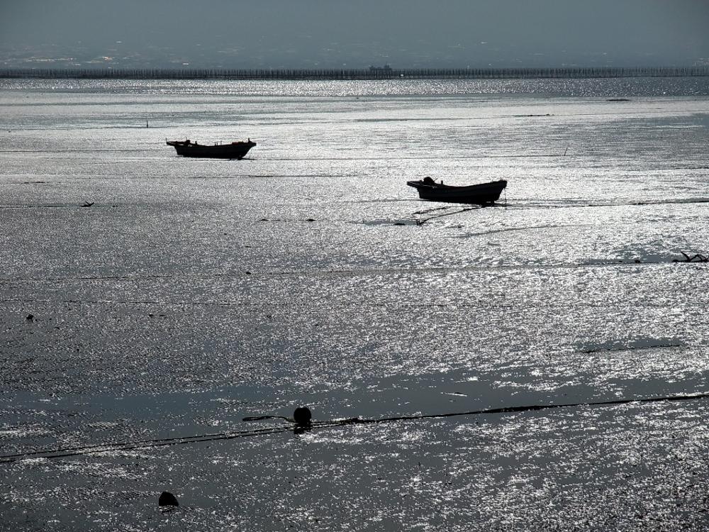
- 光の中の干潟 - panoramio, Yuji Sakamoto, CC BY-SA 3.0
- OmutaChurch, THE-ICER, CC0
- Omuta City Office, Muyo master at ja.wikipedia, CC BY-SA 3.0
- Platform of Shin-Sakaemachi Station 3, そらみみ, CC BY-SA 4.0
- Platform of Shin-Sakaemachi Station 2, そらみみ, CC BY-SA 4.0
- Platform of Shin-Sakaemachi Station, そらみみ, CC BY-SA 4.0
- Nishitetsu Shinsakaemachi Station01, Muyo, CC BY-SA 3.0
- Train for Amagi Station at Shin-Sakaemachi Station, そらみみ, CC BY-SA 4.0
- View from platform of Shin-Sakaemachi Station, そらみみ, CC BY-SA 4.0
- Platform of Shin-Sakaemachi Station 4, そらみみ, CC BY-SA 4.0
- Omuta Commerce and Industry Association Hall 20160610, そらみみ, CC BY-SA 4.0
- Limited Express for Fukuoka (Tenjin) Station at Omuta Station, そらみみ (Soramimi), CC BY-SA 4.0
- Omuta Station 20160610, そらみみ (Soramimi), CC BY-SA 4.0
- Omuta Tourist Information Center in front of Omuta Station, そらみみ (Soramimi), CC BY-SA 4.0
- Platform of Omuta Station (Nishitetsu) 3, そらみみ (Soramimi), CC BY-SA 4.0
- Platform of Omuta Station (JR, north), そらみみ (Soramimi), CC BY-SA 4.0
- Platform of Omuta Station (Nishitetsu) 2, そらみみ (Soramimi), CC BY-SA 4.0
- Statue of Peace and Omuta Station, そらみみ (Soramimi), CC BY-SA 4.0
- View in front of east entrance of Omuta Station, そらみみ (Soramimi), CC BY-SA 4.0
- View of platforms of Kagoshima Main Line from platform of Nishitetsu Tenjin-Omuta Line of Omuta Station, そらみみ (Soramimi), CC BY-SA 4.0
- JR Kyushu Type 787 EC "Ariake" @Omuta (4208829424), Yamaguchi Yoshiaki from Japan, CC BY-SA 2.0
- View of Omuta Station, そらみみ (Soramimi), CC BY-SA 4.0
- Platform of Omuta Station (JR), そらみみ, CC BY-SA 4.0
- Platform 6 & 7 of Omuta Station, そらみみ (Soramimi), CC BY-SA 4.0
- Platform of Omuta Station (JR, south), そらみみ (Soramimi), CC BY-SA 4.0
- Overpass of Omuta Station, そらみみ (Soramimi), CC BY-SA 4.0
- Platform 2 & 3 of Omuta Station 3, そらみみ (Soramimi), CC BY-SA 4.0
- View in front of east entrance of Omuta Station 2, そらみみ (Soramimi), CC BY-SA 4.0
- Greenland Amusement Park, Arao (32703441654), Martin Lewison, CC BY-SA 2.0
- 諏訪公園 Suwa park - panoramio, Yuji Sakamoto, CC BY-SA 3.0


Page built November 4, 2026. Spotted a mistake? Tell us or suggest a place.