



Saikai, Japan
西海市
Saikai is a town of 26,275 people in Nagasaki, Japan, founded in April 1, 2005.
Why visit Saikai
Townapedia lists 21 museums and landmarks, 10 parks and trails, 7 places to eat, 13 places to stay and 38 attractions in and around town.
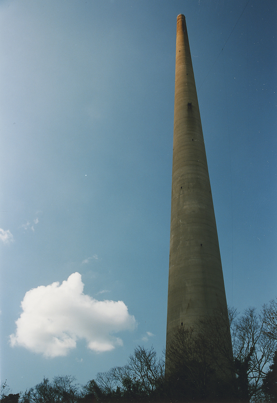
Highlights include Huis Ten Bosch, Nagasaki Bio Park, Hogetto Stone Vessel Production Site and 針尾無線塔 1号塔.
Weather in Saikai
Forecast from MET Norway (CC BY 4.0). Full forecast
About Saikai
Saikai (西海市, Saikai-shi; Japanese pronunciation: [sai.kai, -kaꜜi.ɕi]) is a city located in Nagasaki Prefecture, Japan.
From the Wikipedia article Saikai, Nagasaki (this version), under CC BY-SA 4.0.
Things to do38
Huis Ten Bosch
Monument and historic site · 15.1 km
Theme-park in Japan with rebuild buildings from the Netherlands




26 more on the map.
Museums and landmarks21

Hogetto Stone Vessel Production Site
Monument and historic site · 3.8 km
Archaeological site in Saikai, Nagasaki, Japan



9 more on the map.
Parks, trails and playgrounds10



Restaurants and cafes7


History
The city of Saikai was established on April 1, 2005, from the merger of five towns on the northern tip of Nishisonogi Peninsula: the former town of Saikai, Ōseto, Ōshima, Sakito and Seihi (all from Nishisonogi District). Its city hall is the former town hall of Ōseto.
From the History section of Saikai, Nagasaki on Wikipedia, under CC BY-SA 4.0.
Where to stay13
Churches and places of worship10
Shopping6
Gas and EV charging2
Schools, colleges and libraries28
Healthcare4
Map of Saikai
139 places. The map loads OpenStreetMap tiles when you open it.
Getting there and nearby towns
Nagasaki Airport (NGS) is the nearest airport with scheduled flights listed in OpenStreetMap, 23 km away.
- Kawatana 20 km northeast, about 20 min by car
- Sasebo 21 km north, about 21 min by car
- Togitsu 23 km southeast, about 23 min by car
- Ōmura 26 km east, about 26 min by car
- Obita 27 km southeast, about 27 min by car
- Arita 30 km northeast, about 30 min by car
- Ureshinomachi-shimojuku 33 km northeast, about 33 min by car
- Isahaya 37 km southeast, about 37 min by car
- Takeo 39 km northeast, about 39 min by car
- Matsuura 40 km north, about 40 min by car
Drive times are estimates from straight-line distance, not routes.
Local news
Headlines from INDB.
Reviews, tips and questions
Loading what members have shared...
Sources and licences
- GeoNames (CC BY 4.0): population, coordinates, regions and time zone
- OpenStreetMap contributors (ODbL 1.0): places, airports, map data
- Wikidata (CC0 1.0): elevation, founding date, time zone, website, landmarks and historic places
- Wikimedia Commons (see each image): photos
- Wikipedia (CC BY-SA 4.0): overview and history text
Photo credits
- Yukinoura-beach080903, ふうけ, Public domain
- Terashima Bridge, Saikai, Nagasaki - Jan 3, 2010, Hiroshi Nakai, CC BY 2.0
- Huis Ten Bosch - 01, JKT-c, CC BY 3.0
- Saikai saikai jh2, Sept23, CC BY-SA 4.0
- ToraToraToraTowerA, Unknown author, Public domain
- MG 0121 音浴博物館, Hitoshi Sakamoto1931, CC BY-SA 4.0
- MG 0145西海北小学校, Hitoshi Sakamoto1931, CC BY-SA 4.0
- Hario Radio Tower - Oct 2, 2008, ringo134, CC BY 2.0
- Nagasaki City Katagami Elementary School, Ackeyyama, CC0
- MG 0127 温浴博物館 #2, Hitoshi Sakamoto1931, CC BY-SA 4.0
- Saikai oseto JH2, Sept23, CC BY-SA 4.0
- Nagasaki City Konoura Elementary School, Ackeyyama, CC0
- Nagasaki saikai seihi JH, Sept23, CC BY-SA 4.0
- Saikai ogushi ES, Sept23, CC BY-SA 4.0
- Saikai seihikita ES, Sept23, CC BY-SA 4.0
- Site of Saikai City Sakito Elementary School, Ackeyyama, CC0
- MG 0152西海東小学校, Hitoshi Sakamoto1931, CC BY-SA 4.0
- Site of Saikai City Oshima Nishi Elementary School, Ackeyyama, CC0
- Saikai osaki es, Sept23, CC BY-SA 4.0
- 蛇紋岩 Serpentine - panoramio, tenkais, CC BY 3.0
- 西海市西彼町 20150920 - panoramio, 690 Noda, CC BY 3.0
- 高畑P.A.(上り), On-neko, CC BY-SA 4.0
- Oshima cable-stayed Bridge, Mahlervv, CC BY 3.0
- Oshima Bridge, Taqmatsu, Public domain
- Oshima Bridge2, Taqmatsu, Public domain
- 赤崎の鼻の地質モニュメント Akazaki Geology Monument - panoramio, tenkais, CC BY 3.0
- Ōshima Bridge 1030958, Hiroshi Nakai, CC BY 2.0
- 大島大橋 20150920 - panoramio, 690 Noda, CC BY 3.0
- 石炭層 Coal layer - panoramio, tenkais, CC BY 3.0
- Ōshima Bridge 1030950, Hiroshi Nakai, CC BY 2.0
- 苺島層の正断層 Normal fault, Ichigoshima Formation - panoramio, tenkais, CC BY 3.0
- 龍ノ口岩 Ryu-no-Kuchi Iwa - panoramio, tenkais, CC BY 3.0
- ISS055-E-99461 - View of Earth, Earth Science and Remote Sensing Unit, NASA Johnson Space Center, Public domain
- ISS055-E-104280 - View of Earth, Earth Science and Remote Sensing Unit, NASA Johnson Space Center, Public domain
- ISS055-E-104278 - View of Earth, Earth Science and Remote Sensing Unit, NASA Johnson Space Center, Public domain
- ISS055-E-104277 - View of Earth, Earth Science and Remote Sensing Unit, NASA Johnson Space Center, Public domain
- ISS055-E-99460 - View of Earth, Earth Science and Remote Sensing Unit, NASA Johnson Space Center, Public domain
- ISS055-E-104279 - View of Earth, Earth Science and Remote Sensing Unit, NASA Johnson Space Center, Public domain
- ISS055-E-99462 - View of Earth, Earth Science and Remote Sensing Unit, NASA Johnson Space Center, Public domain
- ISS055-E-99463 - View of Earth, Earth Science and Remote Sensing Unit, NASA Johnson Space Center, Public domain


Page built November 5, 2026. Spotted a mistake? Tell us or suggest a place.