


Lexington, Missouri
Lexington is a city of 4,606 people in Lafayette County, Missouri, founded in 1822.
Why visit Lexington
Townapedia lists 22 museums and landmarks, 5 parks and trails, 5 places to eat and 3 attractions in and around town.
Highlights include VIP Cannonball 6, Ike Skelton Bridge, Alexander and Elizabeth Aull Graves House and Commercial Community Historic District.
July is the warmest month, with average highs of 88°F; January lows average 20°F.
Weather in Lexington
Forecast from the National Weather Service. Full forecast
About Lexington
Lexington is a city in and the county seat of Lafayette County, Missouri, United States. As of the 2020 census, Lexington had a population of 4,652. Lexington is in western Missouri, within the Kansas City metropolitan area, approximately 40 miles (64 km) east of Kansas City. It is the home of the Battle of Lexington State Historic Site, and of the former Wentworth Military Academy and College, which operated from 1880 to 2017.
From the Wikipedia article Lexington, Missouri (this version), under CC BY-SA 4.0.
Things to do3


Ike Skelton Bridge
Bridge · 2.1 mi
Bridge in United States of America
Museums and landmarks22

Alexander and Elizabeth Aull Graves House
Monument and historic site · National Register of Historic Places · 0.4 mi
House in Lexington, Missouri
Commercial Community Historic District
Monument and historic site · National Register of Historic Places · 0.8 mi
Lexington, Missouri, listed on the NRHP in Missouri
D. W. B. and Julia Waddell Tevis House
Monument and historic site · National Register of Historic Places · 0.5 mi
Historic home located at Lexington, Lafayette County, Missouri
George Johnson House
Monument and historic site · National Register of Historic Places · 0.9 mi
Historic house in Missouri, United States
Hicklin Hearthstone
Monument and historic site · National Register of Historic Places · 2.2 mi
Building in Missouri, United States
Hicklin School
Monument and historic site · National Register of Historic Places · 2.4 mi
Building in Missouri, United States
Highland Avenue Historic District
Monument and historic site · National Register of Historic Places · 0.4 mi
Historic district in Lexington, Missouri
House at 1413 Lafayette St.
Monument and historic site · National Register of Historic Places · 0.6 mi
Building in Missouri, United States
John E. Cheatham House
Monument and historic site · National Register of Historic Places · 0.8 mi
Historic home located at Lexington, Lafayette County, Missouri


Lafayette County Courthouse
Monument and historic site · National Register of Historic Places · 0.7 mi
Courthouse in Missouri, United States
Linwood Lawn
Monument and historic site · National Register of Historic Places · 1.5 mi
Building in Missouri, United States
Minatree Catron House
Monument and historic site · National Register of Historic Places · 3.8 mi
Building in Missouri, United States
10 more on the map.
Parks, trails and playgrounds5


Restaurants and cafes5



Victorian Peddler
Diner · American · 0.9 mi
900 Main Street, Lexington

Churches and places of worship3
Cumberland Presbyterian Church
Church · National Register of Historic Places · 0.6 mi
Gas and EV charging2
Schools, colleges and libraries8
Healthcare1
Map of Lexington
49 places. The map loads OpenStreetMap tiles when you open it.
Climate by month
Monthly table
| Month | High | Low | Rain | Snow |
|---|---|---|---|---|
| Jan | 38°F | 20°F | 1.8 in | 4.7 in |
| Feb | 44°F | 23°F | 2.0 in | 3.2 in |
| Mar | 55°F | 33°F | 3.1 in | 0.8 in |
| Apr | 65°F | 44°F | 4.4 in | 0.2 in |
| May | 75°F | 54°F | 5.6 in | 0.0 in |
| Jun | 85°F | 64°F | 5.1 in | 0.0 in |
| Jul | 88°F | 68°F | 5.1 in | 0.0 in |
| Aug | 87°F | 66°F | 4.3 in | 0.0 in |
| Sep | 80°F | 57°F | 4.4 in | 0.0 in |
| Oct | 69°F | 45°F | 3.2 in | 0.0 in |
| Nov | 54°F | 34°F | 2.4 in | 0.8 in |
| Dec | 43°F | 25°F | 1.9 in | 4.1 in |
U.S. Climate Normals 1991-2020 for Lexington 3E Hcn (1 mi away), NOAA NCEI.
People and cost of living
American Community Survey 5-year estimates, 2020-2024, U.S. Census Bureau. Estimates have margins of error, larger for small towns.
Disaster history
Lafayette County has had 16 federal disaster declarations since 2000, most often for severe storms.
- 2020-03-26: Covid-19 Pandemic (Biological)
- 2020-03-13: Covid-19 (Biological)
- 2019-07-09: Severe Storms, Tornadoes, And Flooding (Severe Storm)
- 2015-08-07: Severe Storms, Tornadoes, Straight-Line Winds, And Flooding (Severe Storm)
- 2011-08-12: Flooding (Flood)
- 2011-06-30: Flooding (Flood)
OpenFEMA disaster declarations summaries.
Getting there and nearby towns
Whiteman Air Force Base (SZL) is the nearest airport with scheduled flights listed in OpenStreetMap, 35 miles away.
- Higginsville 11 mi southeast, about 18 min by car
- Buckner 18 mi west, about 29 min by car
- Concordia 21 mi southeast, about 34 min by car
- Grain Valley 22 mi southwest, about 35 min by car
- Excelsior Springs 23 mi northwest, about 37 min by car
- Blue Springs 24 mi southwest, about 39 min by car
- Carrollton 24 mi northeast, about 38 min by car
- Lawson 26 mi northwest, about 41 min by car
- Independence 27 mi west, about 43 min by car
- Liberty 30 mi west, about 48 min by car
Drive times are estimates from straight-line distance, not routes.
Local news
Headlines from INDB, the NEMICO news database.
Reviews, tips and questions
Loading what members have shared...
Sources and licences
- NCES EDGE (Public domain): public schools
- NOAA NCEI U.S. Climate Normals 1991-2020 (Public domain): climate by month
- OpenFEMA (Public domain): disaster declarations
- OpenStreetMap contributors (ODbL 1.0): places, airports, map data
- U.S. Census Bureau (Public domain): population, income, housing, education, commute
- Wikidata (CC0 1.0): elevation, founding date, time zone, website, landmarks and historic places
- Wikimedia Commons (see each image): photos
- Wikipedia (CC BY-SA 4.0): overview and history text
Photo credits
- Lexington City Hall - 13369806565, CapCase, CC BY 2.0
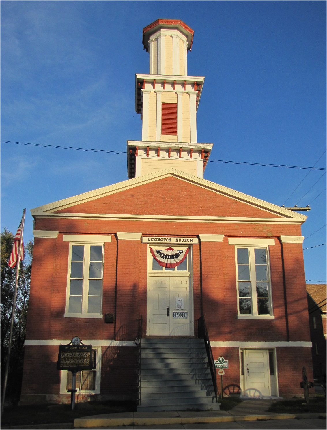
- Lexington Museum Lexington Missouri 10-30-2010, jimsawthat from Montrose, Colorado, United States, CC BY 2.0
- Lexington Bridge, Missouri River, Lexington, Missouri - 2190145871, CapCase, CC BY 2.0
- WADDEL HOUSE, JERRYE & ROY KLOTZ MD, CC BY-SA 3.0
- Lexington Historical Museum, Doug Coldwell, CC BY 2.0
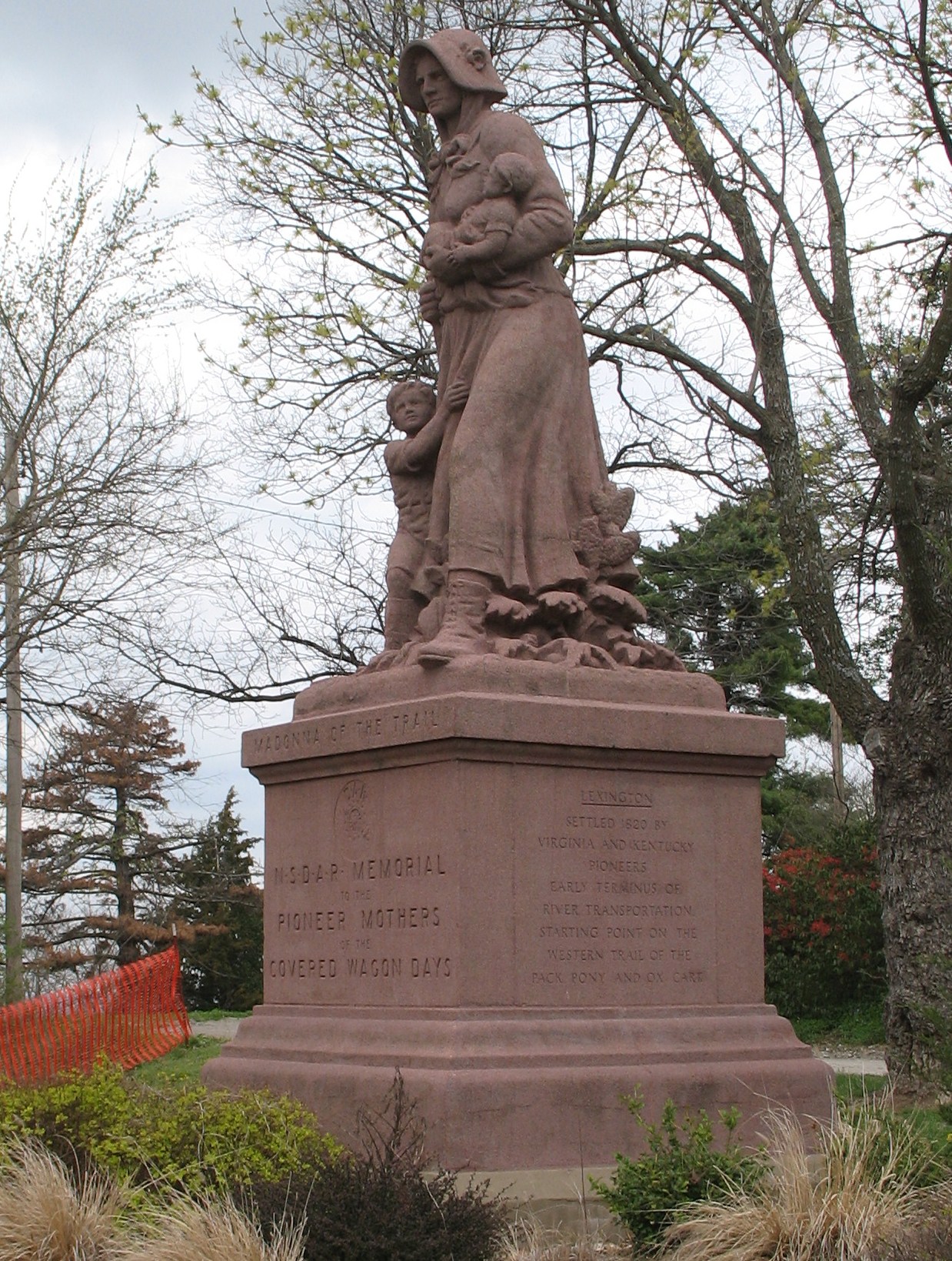
- Lexington-madonna, The original uploader was Americasroof at English Wikipedia ., Public domain
- Lafayette County Courthouse, Lexington, Missouri, Calvin Beale, Public domain
- WMAAdminBldg, Bsellers ( talk ), Public domain
- Anderson-house, Americasroof, CC BY-SA 2.5
- "Worthington (Shea) Manor, Mike Worthington, CC BY-SA 3.0
- "Cannonball Court", Mike Worthington, CC BY-SA 3.0
- Gosewisch Fuenfhausen House, Rondf, CC BY-SA 4.0
- ISS026-E-10324 - View of Earth, Earth Science and Remote Sensing Unit , Lyndon B. Johnson Space Center, Public domain
- ISS050-E-68079 - View of Earth, Earth Science and Remote Sensing Unit , Lyndon B. Johnson Space Center, Public domain
- ISS021-E-34611 - View of Earth, Earth Science and Remote Sensing Unit , Lyndon B. Johnson Space Center, Public domain
- ISS021-E-34612 - View of Earth, Earth Science and Remote Sensing Unit , Lyndon B. Johnson Space Center, Public domain


Page built October 30, 2026. Spotted a mistake? Tell us or suggest a place.