




Manvel, Texas
Manvel is a city of 14,758 people in Brazoria County, Texas, founded in 1662.
Why visit Manvel
Townapedia lists 1 museum or landmark, 10 parks and trails, 32 places to eat and 2 attractions in and around town.
Highlights include Cinemark Pearland and XD and Southwyck Golf Club.
August is the warmest month, with average highs of 94°F; January lows average 46°F.
Weather in Manvel
Forecast from the National Weather Service. Full forecast
About Manvel
Manvel is a city in Brazoria County, Texas, United States. As of July 2025, the population was 20,699, up from 9,908 at the 2020 census.
From the Wikipedia article Manvel, Texas (this version), under CC BY-SA 4.0.
Things to do2

Cinemark Pearland and XD
Cinema and theater · 4.4 mi
3311 Silverlake Village Drive, Pearland
Museums and landmarks1

Parks, trails and playgrounds10





Restaurants and cafes32


Five Guys
Restaurant · American, Burger · 2.2 mi
21716 Nolan Ryan Expressway
Mo-Su 11:00-22:00
Nishiki Japanese restaurant
Restaurant · Japanese · 4.3 mi
3414 Business Center Drive
Mo-Su 11:00-21:00


Marq'E Donuts & Coffee
Cafe · Coffee Shop, Donut, Tacos · 4.2 mi
11540 Magnolia Parkway
20 more on the map.
History
The W.R. Booth family first settled along Chocolate Bayou in 1857. In 1877, the Gulf, Colorado and Santa Fe Railroad started a rail line out of Galveston to Arcola, and soon after a settlement called Pamona was established. However, there was another town in west Texas with the same name, so the community changed the name to Manvel, honoring a man who later became the president of the Atchison, Topeka & Santa Fe Railroad. The railroad reached the area in 1879.
A townsite was developed in 1890. The Manvel Post Office was first established in Manvel on September 22, 1892, at which time William N. Pugh was appointed postmaster.
In August 1960, the City of Manvel incorporated with a population of 300.
The population increased from 9,908 to 17,621 from 2020 to 2023, and in November 2021 there were 12,000 lots in twelve housing complexes that were to be developed.
From the History section of Manvel, Texas on Wikipedia, under CC BY-SA 4.0.
Churches and places of worship6
Southview Baptist Church
Church · Baptist · 3.2 mi
23003 Nolan Ryan Expressway, Rosharon
The Church of Jesus Christ of Latter-day Saints
Church · Mormon · 3.6 mi
9529 Magnolia Parkway, Pearland
Shopping2
Gas and EV charging11
Schools, colleges and libraries41
Healthcare3
Map of Manvel
108 places. The map loads OpenStreetMap tiles when you open it.
Climate by month
Monthly table
| Month | High | Low | Rain |
|---|---|---|---|
| Jan | 65°F | 46°F | 3.6 in |
| Feb | 68°F | 50°F | 2.9 in |
| Mar | 74°F | 55°F | 2.8 in |
| Apr | 80°F | 62°F | 3.7 in |
| May | 86°F | 70°F | 5.1 in |
| Jun | 91°F | 75°F | 5.2 in |
| Jul | 93°F | 76°F | 4.2 in |
| Aug | 94°F | 76°F | 5.6 in |
| Sep | 90°F | 72°F | 5.4 in |
| Oct | 83°F | 63°F | 5.8 in |
| Nov | 73°F | 54°F | 4.2 in |
| Dec | 66°F | 48°F | 4.7 in |
U.S. Climate Normals 1991-2020 for Houston Clover Fld (8 mi away), NOAA NCEI.
People and cost of living
American Community Survey 5-year estimates, 2020-2024, U.S. Census Bureau. Estimates have margins of error, larger for small towns.
Disaster history
Brazoria County has had 23 federal disaster declarations since 2000, most often for hurricanes.
- 2024-07-09: Hurricane Beryl (Hurricane)
- 2021-02-19: Severe Winter Storms (Severe Ice Storm)
- 2021-02-14: Severe Winter Storm (Severe Ice Storm)
- 2020-08-24: Tropical Storms Marco And Laura (Hurricane)
- 2020-07-26: Hurricane Hanna (Hurricane)
- 2020-03-25: Covid-19 Pandemic (Biological)
OpenFEMA disaster declarations summaries.
Getting there and nearby towns
William P. Hobby Airport (HOU) is the nearest airport with scheduled flights listed in OpenStreetMap, 12 miles away.
- Pearland 5 mi northeast, about 9 min by car
- Iowa Colony 5 mi southwest, about 8 min by car
- Fresno 7 mi northwest, about 11 min by car
- Alvin 10 mi southeast, about 15 min by car
- Friendswood 10 mi east, about 16 min by car
- League City 15 mi east, about 25 min by car
- Bellaire 16 mi north, about 26 min by car
- Pasadena 17 mi northeast, about 28 min by car
- Sugar Land 18 mi northwest, about 28 min by car
- Houston 21 mi north, about 33 min by car
Drive times are estimates from straight-line distance, not routes.
Local news
Headlines from INDB, the NEMICO news database.
Reviews, tips and questions
Loading what members have shared...
Sources and licences
- NCES EDGE (Public domain): public schools
- NOAA NCEI U.S. Climate Normals 1991-2020 (Public domain): climate by month
- OpenFEMA (Public domain): disaster declarations
- OpenStreetMap contributors (ODbL 1.0): places, airports, map data
- U.S. Census Bureau (Public domain): population, income, housing, education, commute
- Wikidata (CC0 1.0): elevation, founding date, time zone, website
- Wikimedia Commons (see each image): photos
- Wikipedia (CC BY-SA 4.0): overview and history text
Photo credits
- Manvel High School 2013, EricEnfermero, CC BY-SA 3.0
- Alvin ISD Manvel JHS, Djmaschek, CC BY-SA 4.0
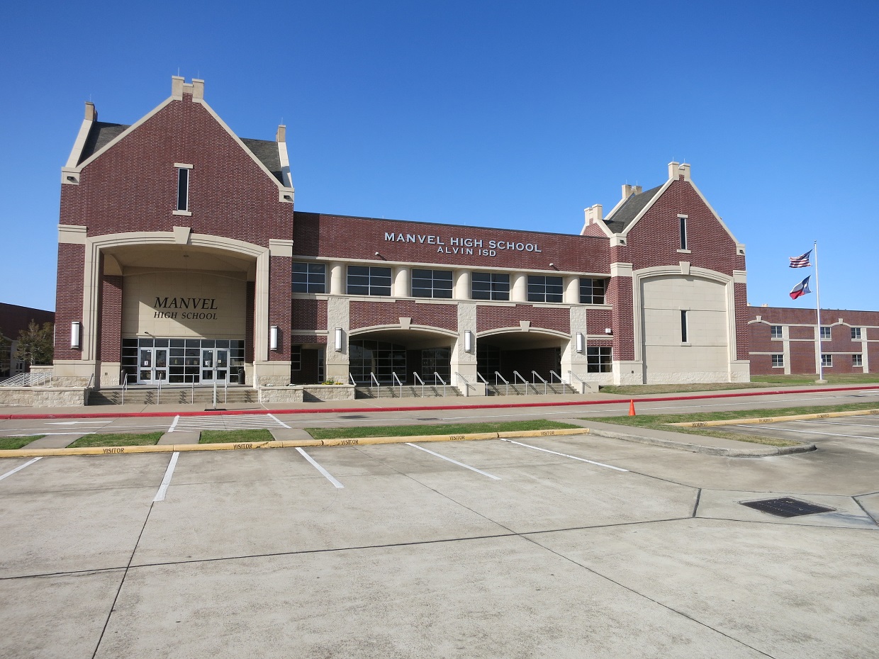
- Alvin ISD Manvel High School, Djmaschek, CC BY-SA 4.0
- Texas State Highway 288, Manvel, Texas (16075440589), Ken Lund from Reno, Nevada, USA, CC BY-SA 2.0
- Texas State Highway 288, Manvel, Texas (16259752661), Ken Lund from Reno, Nevada, USA, CC BY-SA 2.0
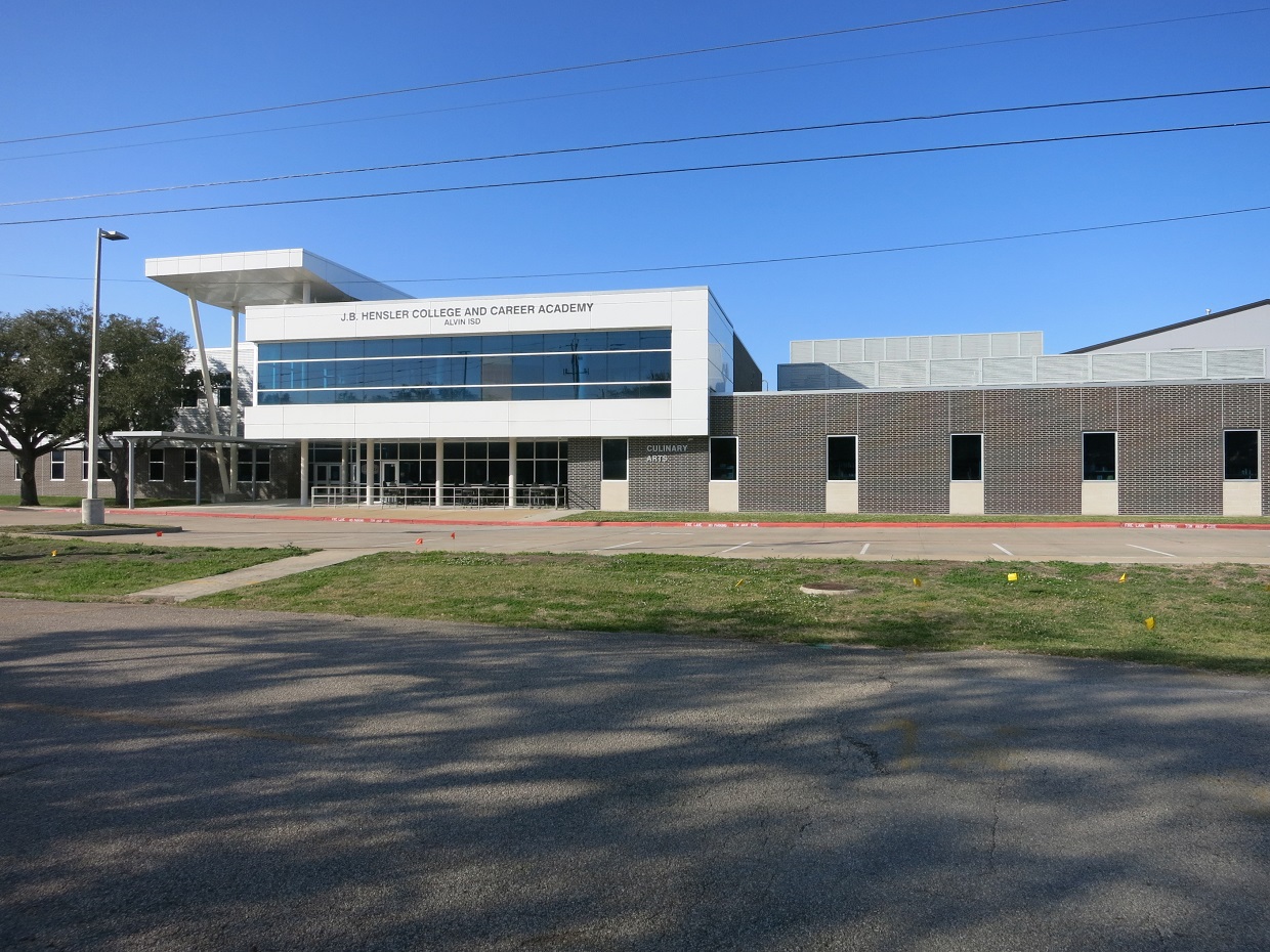
- Alvin ISD Hensler Academy, Djmaschek, CC BY-SA 4.0
- Alvin ISD Mason Elementary School, Djmaschek, CC BY-SA 4.0
- ISS044-E-43808 - View of Earth, Earth Science and Remote Sensing Unit , Lyndon B. Johnson Space Center, Public domain
- ISS034-E-38748 - View of Earth, Earth Science and Remote Sensing Unit , Lyndon B. Johnson Space Center, Public domain
- ISS034-E-38747 - View of Earth, Earth Science and Remote Sensing Unit , Lyndon B. Johnson Space Center, Public domain
- ISS045-E-177894 - View of Earth, Earth Science and Remote Sensing Unit , Lyndon B. Johnson Space Center, Public domain
- ISS021-E-9339 - View of Earth, Earth Science and Remote Sensing Unit , Lyndon B. Johnson Space Center, Public domain
- ISS034-E-38749 - View of Earth, Earth Science and Remote Sensing Unit , Lyndon B. Johnson Space Center, Public domain
- ISS021-E-36814 - View of Earth, Earth Science and Remote Sensing Unit , Lyndon B. Johnson Space Center, Public domain
- ISS045-E-177893 - View of Earth, Earth Science and Remote Sensing Unit , Lyndon B. Johnson Space Center, Public domain
- ISS053-E-303075 - View of Earth, Earth Science and Remote Sensing Unit , Lyndon B. Johnson Space Center, Public domain
- ISS023-E-12581 - View of Earth, Earth Science and Remote Sensing Unit , Lyndon B. Johnson Space Center, Public domain
- ISS053-E-307517 - View of Earth, Earth Science and Remote Sensing Unit , Lyndon B. Johnson Space Center, Public domain
- New Development, Pearland, Texas (16259757201), Ken Lund from Reno, Nevada, USA, CC BY-SA 2.0
- New Development, Pearland, Texas (16259755981), Ken Lund from Reno, Nevada, USA, CC BY-SA 2.0
- Alvin ISD Rodeo Palms JHS, Djmaschek, CC BY-SA 4.0
- Alvin ISD Don Jeter Elementary School, Djmaschek, CC BY-SA 4.0
- Pearland, Texas (16259758791), Ken Lund from Reno, Nevada, USA, CC BY-SA 2.0
- Alvin ISD Pomona Elementary School, Djmaschek, CC BY-SA 4.0
- Alvin ISD Caffey JHS, Djmaschek, CC BY-SA 4.0
- Pearland, Texas (16075717477), Ken Lund from Reno, Nevada, USA, CC BY-SA 2.0
- ISS028-E-14051 - View of Earth, Earth Science and Remote Sensing Unit , Lyndon B. Johnson Space Center, Public domain
- ISS023-E-23195 - View of Earth, Earth Science and Remote Sensing Unit , Lyndon B. Johnson Space Center, Public domain
- ISS015-E-26067 - View of Earth, Earth Science and Remote Sensing Unit , Lyndon B. Johnson Space Center, Public domain
- ISS038-E-28776 - View of Earth, Earth Science and Remote Sensing Unit , Lyndon B. Johnson Space Center, Public domain


Page built October 30, 2026. Spotted a mistake? Tell us or suggest a place.