
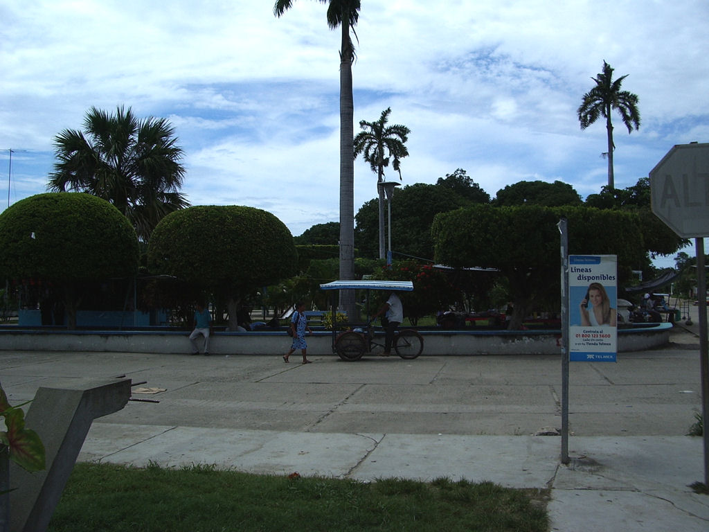


Acacoyagua, Mexico
Acacoyagua is a town of 7,515 people in Chiapas, Mexico, founded in 1500.
Loading the weather...
Population7,515
GeoNames
RegionChiapas
Elevation81 m
266 ft
Founded1500
Time zoneAmerica/Merida
Nearest airportTapachula International Airport (TAP)
69 km
Weather in Acacoyagua
Forecast from MET Norway (CC BY 4.0). Full forecast
Map of Acacoyagua
0 places. The map loads OpenStreetMap tiles when you open it.
Getting there and nearby towns
Tapachula International Airport (TAP) is the nearest airport with scheduled flights listed in OpenStreetMap, 69 km away.
- Jalapa 2 km northwest, about 2 min by car
- Los Amates 2 km west, about 2 min by car
- Escuintla 3 km southeast, about 3 min by car
- Los Cacaos 6 km north, about 6 min by car
- Soconusco 6 km southwest, about 6 min by car
- Acapetahua 7 km south, about 7 min by car
- Cintalapa 6 km east, about 6 min by car
- Hidalgo 7 km west, about 7 min by car
- El Madronal 7 km southwest, about 7 min by car
- Tapachula de Córdova y Ordóñez 65 km southeast, about 1 h by car
Drive times are estimates from straight-line distance, not routes.
Local news
Headlines from INDB.
Reviews, tips and questions
Loading what members have shared...
Sources and licences
- GeoNames (CC BY 4.0): population, coordinates, regions and time zone
- OpenStreetMap contributors (ODbL 1.0): places, airports, map data
- Wikidata (CC0 1.0): elevation, founding date, time zone, website
- Wikimedia Commons (see each image): photos
Photo credits
- Acacoyagua zocalo Oct-2004 - panoramio, Michael Tsutsui, CC BY-SA 3.0
- Street Acacoyagua at Oct-04-2004 - panoramio, Michael Tsutsui, CC BY-SA 3.0
- Perico Frente Naranja - panoramio, panza-rayada, CC BY-SA 3.0
Page built November 4, 2026. Spotted a mistake? Tell us or suggest a place.