
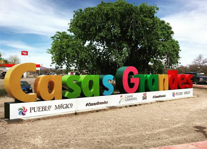


Why visit Casas Grandes
Townapedia lists 5 museums and landmarks, 5 parks and trails, 4 places to eat and 4 places to stay in and around town.
Highlights include Casas Grandes and Museo de las Culturas del Norte.
Weather in Casas Grandes
Forecast from MET Norway (CC BY 4.0). Full forecast
About Casas Grandes
Casas Grandes is a town located in the northern Mexican state of Chihuahua. It serves as the municipal seat of government for the surrounding Casas Grandes Municipality of the same name.
From the Wikipedia article Casas Grandes, Chihuahua (this version), under CC BY-SA 4.0.
Museums and landmarks5


Casas Grandes
Monument and historic site
Prehistoric archaeological site in the northern Mexican state of Chihuahua


Parks, trails and playgrounds5


Restaurants and cafes4


Where to stay4

Casa del Nopal
Motel and hotel
81 Calle Independencia, Casas Grandes
Churches and places of worship5
Shopping3
Gas and EV charging1
Schools, colleges and libraries4
Universidad Tecnológica Paquimé
School · 1.3 km
Callejón Niños Héroes, Casas Grandes
Map of Casas Grandes
31 places. The map loads OpenStreetMap tiles when you open it.
Getting there and nearby towns
Nuevo Casas Grandes (NCG) is the nearest airport with scheduled flights listed in OpenStreetMap, 8 km away.
- Buena Fe 3 km southeast, about 3 min by car
- Nuevo Casas Grandes 6 km northeast, about 6 min by car
- Colonia Juárez 14 km southwest, about 14 min by car
- Abdenago C. García 58 km southeast, about 58 min by car
- Tres Álamos 60 km northwest, about 1 h by car
- Janos 61 km north, about 1 h by car
- Fernández Leal 61 km northwest, about 1 h by car
- Rodrigo M. Quevedo 66 km southeast, about 1 h by car
- Benito Juárez 70 km south, about 1 h 15 min by car
- San Buenaventura 76 km southeast, about 1 h 15 min by car
Drive times are estimates from straight-line distance, not routes.
Local news
Headlines from INDB.
Reviews, tips and questions
Loading what members have shared...
Sources and licences
- GeoNames (CC BY 4.0): population, coordinates, regions and time zone
- OpenStreetMap contributors (ODbL 1.0): places, airports, map data
- Wikidata (CC0 1.0): elevation, founding date, time zone, website, landmarks and historic places
- Wikimedia Commons (see each image): photos
- Wikipedia (CC BY-SA 4.0): overview and history text
Photo credits
- Stella nombre Casas Grandes, Chihuahua, MikSed, CC BY 4.0
- El restaurante en Casas Grandes (3454317747), Iker Merodio from Bilbao, Basque Country, CC BY 2.0
- Zona arqueológica de Paquimé 2020, Levi bernardo, CC BY-SA 3.0
- Paquimé - panoramio, panza.rayada, CC BY-SA 3.0
- Paquimé (ruinas) (3451489543), Iker Merodio from Bilbao, Basque Country, CC BY 2.0
Page built November 4, 2026. Spotted a mistake? Tell us or suggest a place.