




Juventino Rosas, Mexico
Juventino Rosas is a town of 42,264 people in Guanajuato, Mexico.
Why visit Juventino Rosas
Townapedia lists 11 museums and landmarks, 14 parks and trails, 1 place to eat, 1 place to stay and 1 attraction in and around town.
Highlights include Francisco de Asis.
Weather in Juventino Rosas
Forecast from MET Norway (CC BY 4.0). Full forecast
Things to do1

Casa de José Juventino Policarpo Rosas Cadenas
Cinema and theater
El día 25 de enero de 1868 en esta casa nació el inspirado compositor Juventino Rosas y murió en Batano Cuba el año de 1894
Juventino Rosas
Museums and landmarks11

Parks, trails and playgrounds14
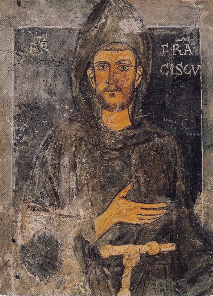
Francisco de Asis
Park
Al santo Mínimo y Dulce Francisco de Asis. como lo llamó el Poeta Rubén Dario. Los fieles de esta comunidad parroquial de Santa Cruz de...


2 more on the map.
Restaurants and cafes1

Where to stay1
Churches and places of worship10
Monumento a Virgen de Guadalupe
Church · Catholic · 0.7 km
Calle Ignacio Matamoros Cuartel
Shopping4
Schools, colleges and libraries8
Healthcare3
Map of Juventino Rosas
53 places. The map loads OpenStreetMap tiles when you open it.
Getting there and nearby towns
Captain Rogelio Castillo National Airport (CYW) is the nearest airport with scheduled flights listed in OpenStreetMap, 16 km away.
- Celaya 23 km southeast, about 23 min by car
- Salamanca 23 km west, about 23 min by car
- Irapuato 38 km west, about 38 min by car
- San Miguel de Allende 40 km northeast, about 40 min by car
- Guanajuato 50 km northwest, about 50 min by car
- Uriangato 59 km south, about 59 min by car
- Moroleón 61 km south, about 1 h by car
- Santiago de Querétaro 63 km east, about 1 h by car
- León de los Aldama 89 km northwest, about 1 h 30 min by car
- San Luis de la Paz 88 km northeast, about 1 h 30 min by car
Drive times are estimates from straight-line distance, not routes.
Local news
Headlines from INDB.
Reviews, tips and questions
Loading what members have shared...
Sources and licences
- GeoNames (CC BY 4.0): population, coordinates, regions and time zone
- OpenStreetMap contributors (ODbL 1.0): places, airports, map data
- Wikidata (CC0 1.0): elevation, founding date, time zone, website
- Wikimedia Commons (see each image): photos
Photo credits
- JRosasinMainSquare 05, AlejandroLinaresGarcia, CC BY-SA 4.0
- Parroquia Juventino Rosas, Robegasca, CC BY-SA 4.0
- StFrancis part, Parzi, Public domain
- Maesta, Cimabue, Public domain
- Payaso triste, Robegasca, CC BY-SA 4.0
- DancerJRosas 02, AlejandroLinaresGarcia, CC BY-SA 4.0
- DancerJRosas 03, AlejandroLinaresGarcia, CC BY-SA 4.0
- JRosasinMainSquare 01, AlejandroLinaresGarcia, CC BY-SA 4.0
- JRosasinMainSquare 06, AlejandroLinaresGarcia, CC BY-SA 4.0
- JRosasinMainSquare 03, AlejandroLinaresGarcia, CC BY-SA 4.0
- JRosasinMainSquare 04, AlejandroLinaresGarcia, CC BY-SA 4.0
- JRosasinMainSquare 02, AlejandroLinaresGarcia, CC BY-SA 4.0
- DancerJRosas 01, AlejandroLinaresGarcia, CC BY-SA 4.0
- Baterista en el jardín, Robegasca, CC BY-SA 4.0
- Cristal de rosas, Robegasca, CC BY-SA 4.0
- Vendedor de vasijas, Robegasca, CC BY-SA 4.0
- Domingo de misa, Robegasca, CC BY-SA 4.0
- SantaCruzParishJuventino001, AlejandroLinaresGarcia, CC BY-SA 4.0
- SantaCruzParishJuventino004, AlejandroLinaresGarcia, CC BY-SA 4.0
- SantaCruzParishJuventino009, AlejandroLinaresGarcia, CC BY-SA 4.0
- SantaCruzParishJuventino005, AlejandroLinaresGarcia, CC BY-SA 4.0
- SantaCruzParishJuventino003, AlejandroLinaresGarcia, CC BY-SA 4.0
- SantaCruzParishJuventino006, AlejandroLinaresGarcia, CC BY-SA 4.0
- SantaCruzParishJuventino002, AlejandroLinaresGarcia, CC BY-SA 4.0
- SantaCruzParishJuventino007, AlejandroLinaresGarcia, CC BY-SA 4.0
- SantaCruzParishJuventino008, AlejandroLinaresGarcia, CC BY-SA 4.0
- Angeles en negro, Robegasca, CC BY-SA 4.0
- Procesión del silencio, Robegasca, CC BY-SA 4.0
- Cristo-crucificado, Robegasca, CC BY-SA 4.0
- Tambor blanco, Robegasca, CC BY-SA 4.0
- Prosecion, Robegasca, CC BY-SA 4.0
- Pecados, Robegasca, CC BY-SA 4.0
- Recorrido de cruces, Robegasca, CC BY-SA 4.0
- La crucificcion, Robegasca, CC BY-SA 4.0
- Recorrido del silencio, Robegasca, CC BY-SA 4.0
- Tamborero, Robegasca, CC BY-SA 4.0
- Antorcha negra, Robegasca, CC BY-SA 4.0
- La parroquia, Robegasca, CC BY-SA 4.0
- Recolectora, Robegasca, CC BY-SA 4.0
- Repartidor, Robegasca, CC BY-SA 4.0


Page built November 4, 2026. Spotted a mistake? Tell us or suggest a place.