
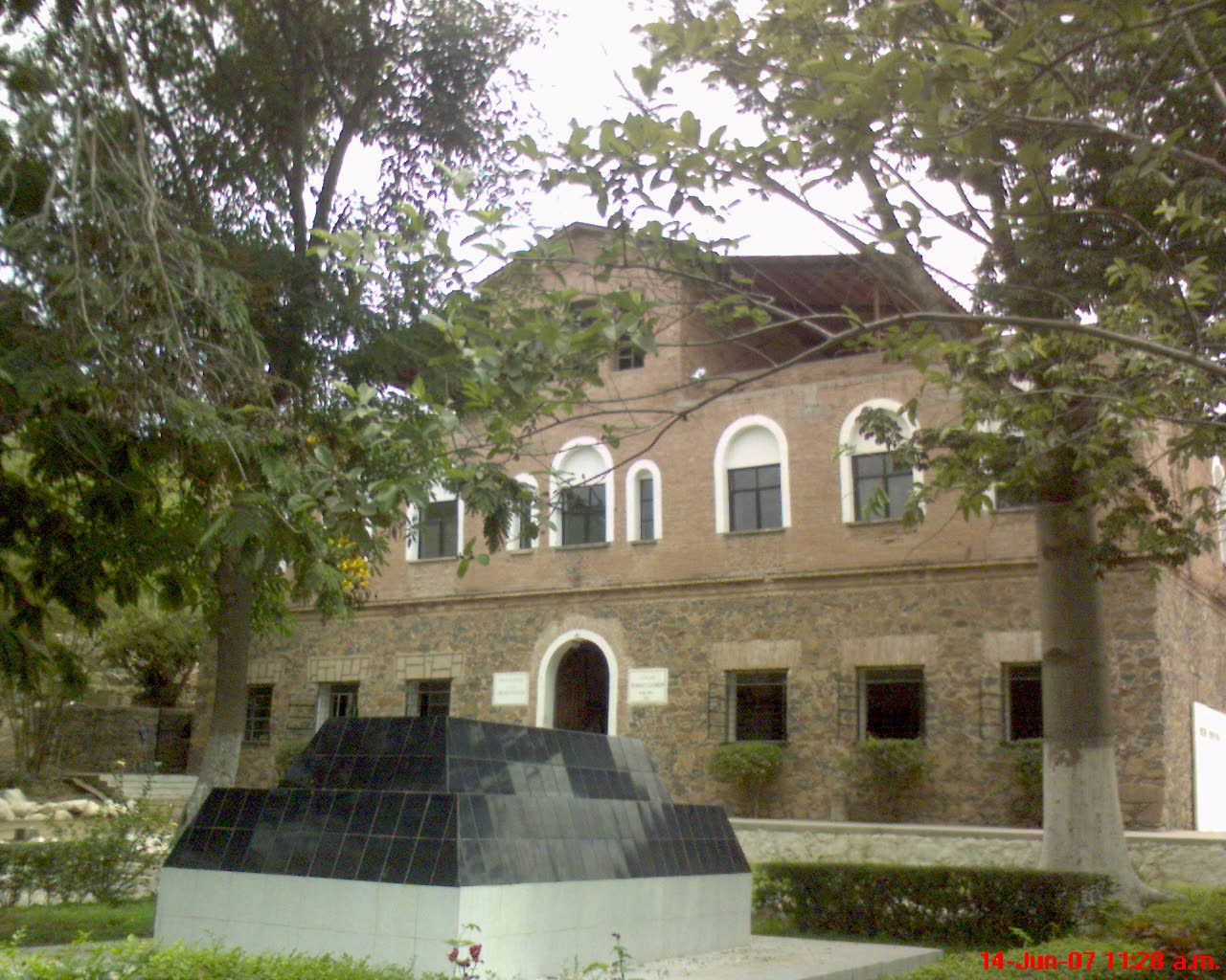

Los Mochis, Mexico
Los Mochis is a town of 256,613 people in Sinaloa, Mexico, founded in 1893.
Why visit Los Mochis
Townapedia lists 4 museums and landmarks, 10 parks and trails, 36 places to eat, 23 places to stay and 3 attractions in and around town.
Highlights include Universidad de Occidente, Teatro Ingenio, Jardín Botánico Benjamin Francis Johnston (Parque Sinaloa) and Estanque 1.
Weather in Los Mochis
Forecast from MET Norway (CC BY 4.0). Full forecast
About Los Mochis
Los Mochis (Spanish pronunciation: [los ˈmotʃis]) is a coastal city in northern Sinaloa, Mexico. It serves as the municipal seat of the municipality of Ahome. As of the 2010 census, the population was 362,613, which was 61 percent of the municipality's population.
From the Wikipedia article Los Mochis (this version), under CC BY-SA 4.0.
Travel tips from other travellers: Los Mochis on Wikivoyage (CC BY-SA 4.0).
Things to do3

Universidad de Occidente
School · 4.4 km
Public university located in Sinaloa, Mexico.

Museums and landmarks4


Parks, trails and playgrounds10

Jardín Botánico Benjamin Francis Johnston (Parque Sinaloa)
Park · 0.7 km
Pulmón de la ciudad y corazón del Parque Sinaloa
750 Antonio Rosales, Los Mochis
Restaurants and cafes36


Johnston's Restaurant
Restaurant · Breakfast, Steak House, American · 1.1 km
665 Boulevard Río de Las Cañas, Los Mochis
Mo-Su 08:00-23:00
Owen´s SteakHouse
Restaurant · Steak House, Burger, Breakfast · 1.1 km
405 Calle Gabriel Leyva Solano, Los Mochis
Mo-Su 08:00-23:00
Tacos Jaime
Restaurant · 1.2 km
151 ote Venustiano Carranza
Mo-Su 07:10-15:50

24 more on the map.
History
The indigenous peoples of this location include Yoreme (Mayo), Cahita, and Guasaves/Tamazulas. The name Los Mochis comes from mochim, the plural of mochic, the Cahitan word for "earth turtle". The noun is used to refer to the flowers of Boerhavia coccinea.
Initial development began in 1893 by a group of American utopian socialists who were adherents of Albert Kimsey Owen, an American civil engineer who built the first irrigation ditches in the valley. The Topolobampo colony survived for 31 years. Owen, who came to do studies for the construction of a railway, was enchanted by Ohuira Bay and imagined the city of the future, where railways and shipping lines converged to ship throughout the world. The port of Topolobampo continues to be developed and may realize Owen's dream.
From the History section of Los Mochis on Wikipedia, under CC BY-SA 4.0.
Where to stay23
Churches and places of worship5
Shopping19
Country Place
Shopping center · 1.2 km
665 Boulevard Río de Las Cañas, Los Mochis
Gas and EV charging13
Pemex1733
Gas station · 2.2 km
Gral Macario Gaxiola e Ignacio Ramirez, Los Mochis
Schools, colleges and libraries13
Healthcare15
La Botica
Clinic and pharmacy · 2.3 km
Av. Jazmines Blvd. Colegio Militar, Los Mochis
Map of Los Mochis
141 places. The map loads OpenStreetMap tiles when you open it.
Getting there and nearby towns
Federal del Valle del Fuerte International Airport (LMM) is the nearest airport with scheduled flights listed in OpenStreetMap, 14 km away.
- Ejido Benito Juárez 4 km southwest, about 4 min by car
- Plan de Ayala (Campo Cinco) 5 km southwest, about 5 min by car
- Ricardo Flores Magón 6 km south, about 6 min by car
- Compuertas 6 km north, about 6 min by car
- Mochis 7 km northwest, about 7 min by car
- Ejido Louisiana 7 km west, about 7 min by car
- Plan de San Luis 7 km west, about 7 min by car
- Cinco de Mayo 8 km northeast, about 8 min by car
- Primero de Mayo 9 km southeast, about 9 min by car
- Ejido Ohuira 9 km south, about 9 min by car
Drive times are estimates from straight-line distance, not routes.
Local news
Headlines from INDB.
Reviews, tips and questions
Loading what members have shared...
Sources and licences
- GeoNames (CC BY 4.0): population, coordinates, regions and time zone
- OpenStreetMap contributors (ODbL 1.0): places, airports, map data
- Wikidata (CC0 1.0): elevation, founding date, time zone, website, landmarks and historic places
- Wikimedia Commons (see each image): photos
- Wikipedia (CC BY-SA 4.0): overview and history text
Photo credits
- Casa condado espinoza de Los Mochis, Francisco Mochis es.wikip, Public domain
Page built November 4, 2026. Spotted a mistake? Tell us or suggest a place.