





Manuel Ojinaga, Mexico
Ojinaga
Manuel Ojinaga is a town of 22,744 people in Chihuahua, Mexico, founded in June 2, 1715.
Why visit Manuel Ojinaga
Townapedia lists 2 museums and landmarks, 4 parks and trails, 3 places to eat, 1 place to stay and 2 attractions in and around town.
Highlights include Presidio–Ojinaga International Bridge, Presidio–Ojinaga International Rail Bridge and Museo Regional Ojinaga.
Weather in Manuel Ojinaga
Forecast from MET Norway (CC BY 4.0). Full forecast
About Manuel Ojinaga
Ojinaga (Manuel Ojinaga) is a town and seat of the municipality of Ojinaga, in the northern Mexican state of Chihuahua. As of 2015, the town had a total population of 28,040. It is a rural border town on the U.S.–Mexico border, with the city of Presidio, Texas, directly opposite, on the U.S. side of the border. Ojinaga is situated where the Río Conchos drains into the Río Grande (known as the Rio Bravo in Mexico), an area called La Junta de los Rios.
From the Wikipedia article Ojinaga (this version), under CC BY-SA 4.0.
Travel tips from other travellers: Manuel Ojinaga on Wikivoyage (CC BY-SA 4.0).
Things to do2
Presidio–Ojinaga International Bridge
Bridge · 2.1 km
Bridge in Presidio, Texas
Presidio–Ojinaga International Rail Bridge
Bridge · 2.1 km
Bridge in Ojinaga, Chihuahua
Museums and landmarks2


Parks, trails and playgrounds4


Restaurants and cafes3


Lobbys Restaurante
Restaurant · Regional, Mexican, Tex-Mex · 1.1 km
9 Boulevard Libre Comercio, Ojinaga
History
Ojinaga was founded around AD 1200 by the Pueblo Native Americans, who were later assimilated by Uto-Aztecan speakers. Ojinaga was first visited by Spanish explorers (led by Álvar Núñez Cabeza de Vaca) in 1535. (See La Junta Indians)
During the Mexican Revolution, Ojinaga was the scene of the Battle of Ojinaga between Pancho Villa's revolutionaries and government troops under Pascual Orozco. Orozco's defeat here after a long military campaign led to his exile in the United States. The U.S. writer Ambrose Bierce may have died there, although that is uncertain.
From the History section of Ojinaga on Wikipedia, under CC BY-SA 4.0.
Where to stay1
Churches and places of worship3
Shopping4
Gas and EV charging6
Healthcare1
Map of Manuel Ojinaga
26 places. The map loads OpenStreetMap tiles when you open it.
Getting there and nearby towns
- Presidio 5 km east, about 5 min by car
- Ojinaga 12 km west, about 12 min by car
- Santiago de Coyame 67 km west, about 1 h by car
- Manuel Benavides 71 km southeast, about 1 h 15 min by car
Drive times are estimates from straight-line distance, not routes.
Local news
Headlines from INDB.
Reviews, tips and questions
Loading what members have shared...
Sources and licences
- GeoNames (CC BY 4.0): population, coordinates, regions and time zone
- OpenStreetMap contributors (ODbL 1.0): places, airports, map data
- Wikidata (CC0 1.0): elevation, founding date, time zone, website, landmarks and historic places
- Wikimedia Commons (see each image): photos
- Wikipedia (CC BY-SA 4.0): overview and history text
Photo credits
- Templo en Ojinaga, Chihuahua, MikSed, CC BY 4.0
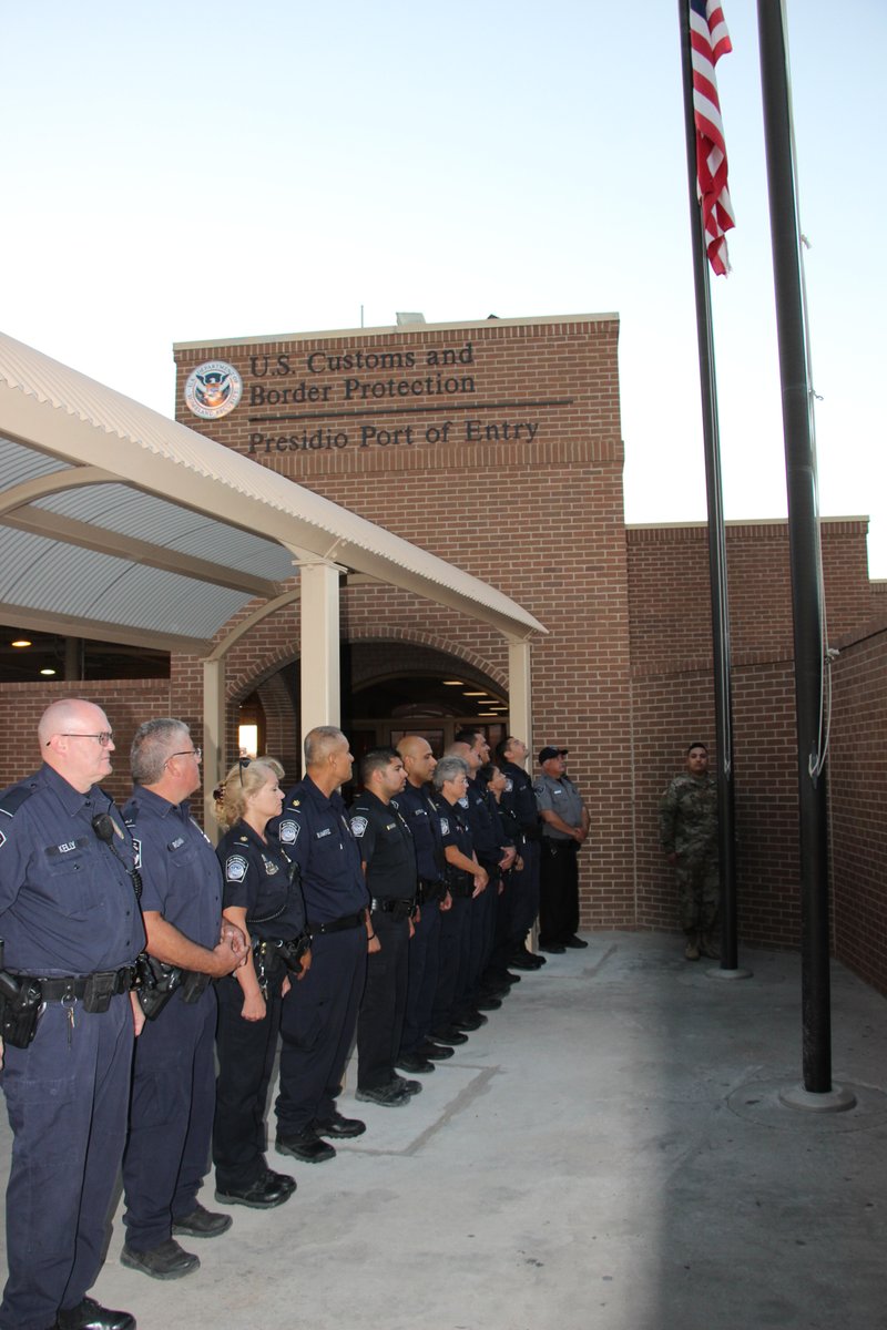
- Presidio TX port of entry and officers, US Customs and Border Protection, Public domain
- Stella nombre Ojinaga, Chihuahua, MikSed, CC BY 4.0
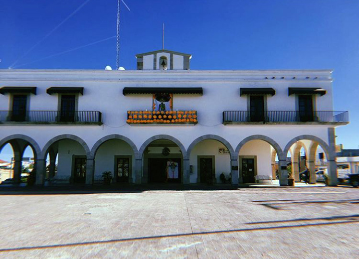
- Presidencia Municipal de Ojinaga, Chihuahua, MikSed, CC BY 4.0
Page built November 4, 2026. Spotted a mistake? Tell us or suggest a place.