



Why visit Jebba
Townapedia lists 1 attraction in and around town.
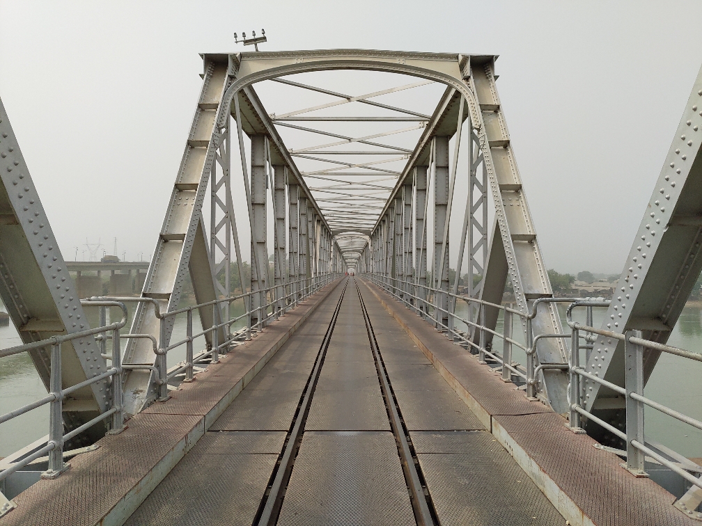
Highlights include Jebba Railway Bridge.
Weather in Jebba
Forecast from MET Norway (CC BY 4.0). Full forecast
About Jebba
Jebba is a Nigerian town located along the River Niger. The town is divided into 4 categories out of which two for upper class known as Maunjani or Jebba North and for the lower class known as Mukhelenabi or Jebba South: Jebba North which is primarily on an island belongs to Mokwa LGA of Niger State while Jebba South belongs to Moro LGA of Kwara State. It has views of the River Niger and as of 2007 had an estimated population of 22,411.
From the Wikipedia article Jebba (this version), under CC BY-SA 4.0.
Travel tips from other travellers: Jebba on Wikivoyage (CC BY-SA 4.0).
Things to do1
Map of Jebba
1 places. The map loads OpenStreetMap tiles when you open it.
Getting there and nearby towns
Ilorin International Airport (ILR) is the nearest airport with scheduled flights listed in OpenStreetMap, 84 km away.
- Bode Saadu 21 km south, about 21 min by car
- Mokwa 32 km northeast, about 32 min by car
- Bokani 54 km northeast, about 54 min by car
- Lafiagi 72 km southeast, about 1 h 15 min by car
- Alapa 74 km southwest, about 1 h 15 min by car
- Ilorin 76 km southwest, about 1 h 15 min by car
- Igbeti 87 km southwest, about 1 h 30 min by car
Drive times are estimates from straight-line distance, not routes.
Local news
Headlines from INDB.
Reviews, tips and questions
Loading what members have shared...
Sources and licences
- GeoNames (CC BY 4.0): population, coordinates, regions and time zone
- OpenStreetMap contributors (ODbL 1.0): places, airports, map data
- Wikidata (CC0 1.0): elevation, founding date, time zone, website, landmarks and historic places
- Wikimedia Commons (see each image): photos
- Wikipedia (CC BY-SA 4.0): overview and history text
Photo credits
- Jebba Railway Bridge, K glitzy, CC0
- Railway Bridge, ebba, Dotun55, CC BY-SA 4.0
Page built November 3, 2026. Spotted a mistake? Tell us or suggest a place.