


Why visit Warri
Townapedia lists 5 museums and landmarks, 1 park or trail, 3 places to eat, 24 places to stay and 1 attraction in and around town.
Highlights include Dore Numa College, Olu Of Warri Kingdom Palace, Olu Of Warri Palace and Warri City Stadium.
Weather in Warri
Forecast from MET Norway (CC BY 4.0). Full forecast
About Warri
The city of Warri is an oil hub within South-South Nigeria and houses an annex of the Delta State Government House. Warri is one of the major hubs of the petroleum industry in Nigeria. Warri, Udu, Okpe and Uvwie are the commercial capital of Delta State with a population of over 311,970 people in 2006. The city is the indigenous territory of UrhoboItsekiri, Urhobo and Ijaw people.
From the Wikipedia article Warri (this version), under CC BY-SA 4.0.
Travel tips from other travellers: Warri on Wikivoyage (CC BY-SA 4.0).
Things to do1

Museums and landmarks5



Parks, trails and playgrounds1

Restaurants and cafes3

Where to stay24
Princess Esilokun Guest House
Motel and hotel · 1.8 km
106 Ajamimogha Road, Warri
Churches and places of worship116
First Baptist Church Mission Road Branch Warri
Church
no 2 Mission Road Warri, Warri Delta State
EPISCOPAL CHURCH OF CHERUBIM & SERAPHIM, VICTORY CENTRE, WARRI.
Church · Cherubim And Seraphim · 1.2 km
8b Willikie street, WARRI
Immaculate Heart Sisters Convent, Okere Community, Warri City
Church · Catholic
Warri Sapele Road, Warri, Warri City
Shopping5
Gas and EV charging10
Schools, colleges and libraries67
Dore Numa College, Warri
School · 1.7 km
Iyara road, Warri City, Warri City
Healthcare23
Map of Warri
250 places. The map loads OpenStreetMap tiles when you open it.
Getting there and nearby towns
Osubi Airport (QRW) is the nearest airport with scheduled flights listed in OpenStreetMap, 12 km away.
- Orerokpe 20 km northeast, about 20 min by car
- Ughelli 28 km east, about 28 min by car
- Burutu 32 km southwest, about 32 min by car
- Sapele 43 km north, about 43 min by car
- Bomadi 44 km southeast, about 44 min by car
- Abraka 50 km northeast, about 50 min by car
- Obiaruku 58 km northeast, about 58 min by car
- Patani 58 km southeast, about 58 min by car
- Amassoma 73 km southeast, about 1 h 15 min by car
- Yenagoa 87 km southeast, about 1 h 30 min by car
Drive times are estimates from straight-line distance, not routes.
Local news
Headlines from INDB.
Reviews, tips and questions
Loading what members have shared...
Sources and licences
- GeoNames (CC BY 4.0): population, coordinates, regions and time zone
- OpenStreetMap contributors (ODbL 1.0): places, airports, map data
- Wikidata (CC0 1.0): elevation, founding date, time zone, website, landmarks and historic places
- Wikimedia Commons (see each image): photos
- Wikipedia (CC BY-SA 4.0): overview and history text
Photo credits
- Image of a Chief Brown at the Olu of Warri Palace in Warri Delta State Nigeria, Olaniyan Olushola, CC BY 4.0
- Worship service at Word of Life Bible Church, Warri, Delta, Nigeria (2016), WLBC Media Team, CC BY-SA 4.0
- Warri, Amojo Enite James, CC BY-SA 4.0
- Effurun Roundabout, Ohwo.ekpa, CC BY-SA 4.0
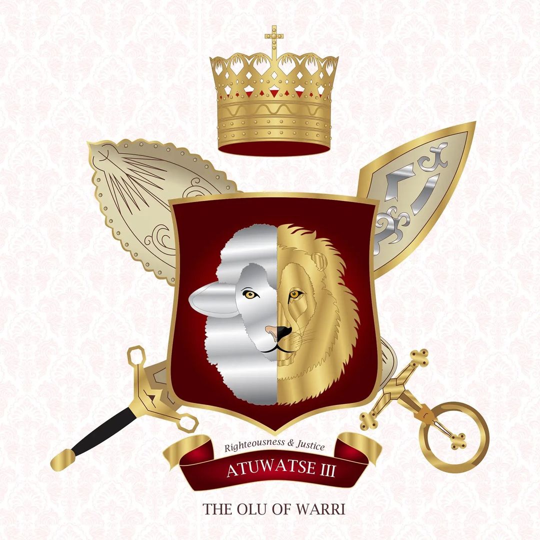
- Sigil Of the Olu of Warri kingdom, LordSnow242, CC BY-SA 4.0
Page built November 3, 2026. Spotted a mistake? Tell us or suggest a place.