Townapedia

Parks in Peoria, Arizona

Townapedia lists 62 parks and outdoor places in and around Peoria, AZ: 49 parks, 6 trails, 3 sports fields and 2 marinas and boat launches. 3 have their own Wikipedia article, among them Lake Pleasant Regional Park and Lake Pleasant Regional Park. The closest to the center of town is Mountain Vista Club, 1.9 mi away.

Everything about Peoria · Restaurants (256)

All 62 parks and outdoor places

62 shown

Lake Pleasant Regional Park

Park · 8.2 mi

Park in Arizona, USA

Open in Google Maps · Wikipedia

Lake Pleasant Regional Park

Hiking and trails · 8.8 mi

Open in Google Maps · Wikipedia

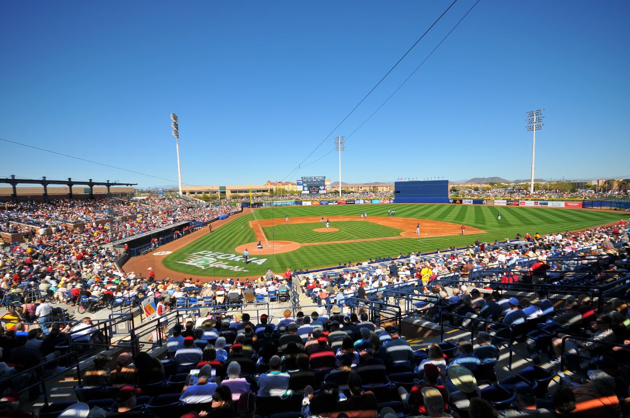
Peoria Stadium

Sports field and stadium · 12.9 mi

Open in Google Maps · Wikipedia

Paloma Community Park

Park · 6.1 mi

29799 North Lake Pleasant Parkway, Peoria

Open in Google Maps

Blackstone Country Club

Golf course · 2.6 mi

12101 West Blackstone Drive, Peoria

Open in Google Maps

Pioneer Community Park

Park · 17.3 mi

8755 North 83rd Avenue, Peoria

Open in Google Maps

Rio Vista Community Park

Park · 13.6 mi

8866 West Thunderbird Drive, Peoria

Open in Google Maps

Sunnyslope Park

Park · 17.4 mi

9280 North 71st Avenue, Peoria

Open in Google Maps

Murphy Park

Park · 16.8 mi

7230 West Cheryl Drive, Peoria

Open in Google Maps

Paseo Verde Park

Park · 13.7 mi

7561 West Greenway Road, Peoria

Open in Google Maps

Scorpion Bay Marina

Marina and boat launch · 6.1 mi

Open in Google Maps

AZ Ice

Sports field and stadium · 13.2 mi

15829 North 83rd Avenue, Peoria

Open in Google Maps

Alta Vista Park

Park · 8.1 mi

10631 West Williams Road, Peoria

Open in Google Maps

Braewood Park

Park · 15.6 mi

8742 West Mescal Street, Peoria

Open in Google Maps

Advertisement

Cantilena Sunken Park

Park · 7.7 mi

Open in Google Maps

Country Meadows Park

Park · 16.6 mi

11098 West Butler Drive, Peoria

Open in Google Maps

Fairmont Park

Park · 16.9 mi

Open in Google Maps

Hayes Park

Park · 16.9 mi

9845 North 75th Avenue, Peoria

Open in Google Maps

Kiwanis Park

Park · 15.1 mi

12687 North 78th Drive, Peoria

Open in Google Maps

Mountain Vista Club

Park · 1.9 mi

31642 North Westland Road, Peoria

Open in Google Maps

New River Trail Head At Westbrook Village

Park · 11.2 mi

19259 North 83rd Avenue, Peoria

Open in Google Maps

Roundtree Ranch Park

Park · 17.0 mi

9142 North 81st Avenue, Peoria

Open in Google Maps

Sundance Park

Park · 16.4 mi

11091 North 71st Avenue, Peoria

Open in Google Maps

Sweetwater Park

Park · 15.1 mi

7460 West Sweetwater Avenue, Peoria

Open in Google Maps

Varney Park

Park · 15.4 mi

11820 North 81st Avenue, Peoria

Open in Google Maps

Wacker Park

Park · 14.5 mi

13261 North 83rd Avenue, Peoria

Open in Google Maps

Westland Park

Park · 2.0 mi

31565 North Westland Road, Peoria

Open in Google Maps

Windrose Park

Park · 14.7 mi

8350 West Windrose Drive, Peoria

Open in Google Maps

Arrowhead Shores Park

Park · 12.8 mi

Open in Google Maps

Bobcat Day Use Area

Park · 4.8 mi

Open in Google Maps

Brookside Village Retention Greenspace

Park · 11.7 mi

Open in Google Maps

Calderwood Butte Nature Preserve

Hiking and trails · 5.7 mi

Open in Google Maps

Centennial Park Plaza

Park · 16.4 mi

Open in Google Maps

Community Park

Park · 14.5 mi

Open in Google Maps

Cottonwood Day Use Area

Park · 7.1 mi

Open in Google Maps

Crosspointe HOA Park

Park · 17.2 mi

Open in Google Maps

Desert Amethyst Park

Park · 11.4 mi

Open in Google Maps

Fletcher Heights Park

Park · 10.3 mi

Open in Google Maps

Fletcher Heights Park Playground

Playground · 10.3 mi

Open in Google Maps

Ironwood HOA Park

Park · 8.1 mi

Open in Google Maps

Lakeview Day Use Area

Park · 6.0 mi

Open in Google Maps

Liberty Park

Park · 8.4 mi

Open in Google Maps

Maricopa Trail Trailhead at Beardsly

Hiking and trails · 4.3 mi

Open in Google Maps

Maricopa Trail Trailhead at Lake Pleasant

Hiking and trails · 5.0 mi

Open in Google Maps

Maricopa Trail Trailhead at Lake Pleasant Boat Launch

Hiking and trails · 4.9 mi

Open in Google Maps

Maricopa Trail Trailhead at Paloma

Hiking and trails · 6.2 mi

Open in Google Maps

Parkridge park

Park · 9.9 mi

Open in Google Maps

Pleasant Harbor Marina

Marina and boat launch · 6.0 mi

Open in Google Maps

Ringtail Day Use Area

Park · 4.9 mi

Open in Google Maps

Rio Vista Splash Pad

Sports field and stadium · 13.7 mi

Open in Google Maps

Running Deer Park

Park · 4.3 mi

Open in Google Maps

Skunk Creek Trail Head

Park · 13.5 mi

Open in Google Maps

SkyView Community Park

Park · 14.6 mi

Open in Google Maps

Sunrise Mountain Park

Park · 9.3 mi

Open in Google Maps

Sunrise Retention Basin Park

Park · 10.1 mi

Open in Google Maps

Sweetwater Place Park

Park · 14.7 mi

Open in Google Maps

Three Olive Park

Park · 16.5 mi

Open in Google Maps

Tierra Del Rio HOA Park

Park · 6.1 mi

Open in Google Maps

Tierra Del Rio Play Park

Park · 6.2 mi

Open in Google Maps

Vistancia Roundabout Park

Park · 3.1 mi

Open in Google Maps

Wild Burro Day Use Area

Park · 5.0 mi

Open in Google Maps

Listings come from OpenStreetMap contributors. Some places may have closed or be missing, and Townapedia does not rate them.

Map

62 places. The map loads OpenStreetMap tiles when you open it.

Parks in nearby towns

Sources and licences

Each photo is credited on the photo.