
Why visit Acao
Townapedia lists 1 museum or landmark, 1 park or trail, 13 places to eat, 1 place to stay and 1 attraction in and around town.
Weather in Acao
Forecast from MET Norway (CC BY 4.0). Full forecast
Things to do1

Museums and landmarks1

Parks, trails and playgrounds1
Restaurants and cafes13

Elyu MUKJA
Restaurant · Korean, Barbecue · 2.0 km
1 Old Road, Naguilian
Mo-Su 11:00-20:00

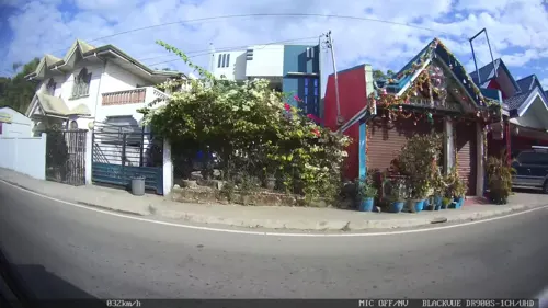
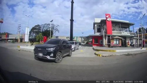

1 more on the map.
Where to stay1
Churches and places of worship7
Shopping4
Gas and EV charging5
Schools, colleges and libraries14
Don Mariano Marcos Memorial State University - East La Union Campus
School · 1.8 km
Healthcare12
Naguilian Dialysis Center
Clinic and pharmacy · 1.6 km
C. Rimando Street, Naguilian
Naguilian Health Center
Clinic and pharmacy · 2.0 km
Elpidio Quirino Highway, Naguilian
Map of Acao
59 places. The map loads OpenStreetMap tiles when you open it.
Getting there and nearby towns
San Fernando Airport (SFE) is the nearest airport with scheduled flights listed in OpenStreetMap, 11 km away.
- Bauang 5 km west, about 5 min by car
- San Fernando 12 km northwest, about 12 min by car
- Aringay 15 km south, about 15 min by car
- San Gabriel 17 km north, about 17 min by car
- La Trinidad 24 km east, about 24 min by car
- Baguio 26 km southeast, about 26 min by car
- Itogon 37 km southeast, about 37 min by car
- Mangaldan 51 km south, about 51 min by car
- Dagupan 54 km south, about 54 min by car
- Calasiao 57 km south, about 57 min by car
Drive times are estimates from straight-line distance, not routes.
Local news
Headlines from INDB.
Reviews, tips and questions
Loading what members have shared...
Sources and licences
- GeoNames (CC BY 4.0): population, coordinates, regions and time zone
- Mapillary (see each image): photos
- OpenStreetMap contributors (ODbL 1.0): places, airports, map data
- Wikidata (CC0 1.0): elevation, founding date, time zone, website
Photo credits
- Street-level photo, Kaart---RIGHT, CC BY-SA 4.0
- Street-level photo, Kaart---FRONT, CC BY-SA 4.0
- Street-level photo, Kaart---LEFT, CC BY-SA 4.0
- Street-level photo, Kaart---RIGHT, CC BY-SA 4.0
- Street-level photo, Kaart---LEFT, CC BY-SA 4.0
- Street-level photo, Kaart---LEFT, CC BY-SA 4.0
- Street-level photo, Kaart---FRONT, CC BY-SA 4.0
- Street-level photo, Kaart---LEFT, CC BY-SA 4.0
- Street-level photo, Kaart---RIGHT, CC BY-SA 4.0
- Street-level photo, Kaart---RIGHT, CC BY-SA 4.0
- Street-level photo, Kaart---RIGHT, CC BY-SA 4.0
- Street-level photo, Kaart---FRONT, CC BY-SA 4.0
- Street-level photo, Kaart---LEFT, CC BY-SA 4.0
- Street-level photo, Kaart---RIGHT, CC BY-SA 4.0
Page built November 7, 2026. Spotted a mistake? Tell us or suggest a place.