



Why visit Balayan
Townapedia lists 5 museums and landmarks, 2 parks and trails, 20 places to eat, 1 place to stay and 3 attractions in and around town.
Highlights include Clemencia Castelo Lopez and Sixto Castelo Lopez.
Weather in Balayan
Forecast from MET Norway (CC BY 4.0). Full forecast
About Balayan
Balayan, officially the Municipality of Balayan (Tagalog: Bayan ng Balayan), is a municipality in the province of Batangas, Philippines. According to the 2024 census, it has a population of 96,939 people.
From the Wikipedia article Balayan (this version), under CC BY-SA 4.0.
Travel tips from other travellers: Balayan on Wikivoyage (CC BY-SA 4.0).
Things to do3

Museums and landmarks5



Parks, trails and playgrounds2

Restaurants and cafes20

Babas Blend Milktea Station
Cafe · Coffee Shop, Milktea · 5.8 km
Tuy-Balayan Road, Tuy
10:00-22:00

L’Bulalo Restaurant
Restaurant · Filipino · 1.7 km
Tuy-Balayan Road
Mo-Su 09:00-19:00


Jollibee
Fast food · Burger · 1.4 km
Balayan Rotonda, Balayan, Batangas
8 more on the map.
History
Balayan’s position on the basin of a good harbor was one of the reasons it became one of the first known settlements in the Philippines, with existing records of local indigenous residents exchanging barter goods with Chinese traders dating back to the mid-14th century.
The indigenous inhabitants of Balayan had close ties with the Kingdom of Maynila under the leadership of Rajah Sulayman and his uncle Rajah Matanda. There are historical accounts that Rajah Sulayman stayed on this area when he tried to battle the Spaniards around Intramuros.
In 1578, Balayan covered the modern-day municipality and some areas of Calaca, Calatagan, Lian, Nasugbu and Tuy. It became the capital of Balayan Province (present-day Batangas) from 1597 to 1732. It was the most progressive town of the Province and the traditional center of governance. The eruption of the Taal Volcano destroyed a significant portion of the town, moving the provincial capital to Bonbon (present-day Taal) in 1732 and the name of the province was renamed after that town.
From the History section of Balayan on Wikipedia, under CC BY-SA 4.0.
Where to stay1
Churches and places of worship11
Iglesia ni Cristo - Lokal ng Balayan
Church · Iglesia Ni Cristo · 1.3 km
Paz Street, Balayan
Iglesia ni Cristo - Lokal ng Dacanlao
Church · Iglesia Ni Cristo · 6.2 km
Balayan-Lemery Road, Dacanlao
Jesus Is Our Shield Worldwide Ministries Balayan Chapter
Church · 1.7 km
Mahogany Street
Shopping8
Gas and EV charging12
Schools, colleges and libraries57
Blessed Christ Child Montessori Foundation Inc.
School · 1.0 km
Bagong Daan, Balayan
Healthcare8
Balayan Mary Immaculate Maternity Clinic Inc.
Clinic and pharmacy · 1.5 km
Balayan-Balibago Road
Mary Immaculate Maternity Clinic
Clinic and pharmacy · 1.5 km
Balayan-Balibago Road
Metro Balayan Medical Center
Hospital · 1.4 km
Balayan-Balibago Road, Balayan, Batangas
Map of Balayan
127 places. The map loads OpenStreetMap tiles when you open it.
Getting there and nearby towns
Sangley Point Airport (SGL) is the nearest airport with scheduled flights listed in OpenStreetMap, 65 km away.
- Calaca 9 km east, about 9 min by car
- Calatagan 16 km southwest, about 16 min by car
- Nasugbu 18 km northwest, about 18 min by car
- Taal 22 km east, about 22 min by car
- Tagaytay 28 km northeast, about 28 min by car
- Mendez-Nuñez 28 km northeast, about 28 min by car
- Indang 33 km northeast, about 33 min by car
- Bauan 34 km southeast, about 34 min by car
- San Pascual 34 km southeast, about 34 min by car
- Cuenca 35 km east, about 35 min by car
Drive times are estimates from straight-line distance, not routes.
Local news
Headlines from INDB.
Reviews, tips and questions
Loading what members have shared...
Sources and licences
- GeoNames (CC BY 4.0): population, coordinates, regions and time zone
- OpenStreetMap contributors (ODbL 1.0): places, airports, map data
- Wikidata (CC0 1.0): elevation, founding date, time zone, website
- Wikimedia Commons (see each image): photos
- Wikipedia (CC BY-SA 4.0): overview and history text
Photo credits
- Balayan,,Batangasjf0321 15, Ramon FVelasquez, CC BY-SA 3.0
- Immaculate Concepcion Parish, Balayan, Batangas5, Markadan, CC BY 4.0
- Immaculate Concepcion Parish, Balayan, Batangas6, Markadan, CC BY 4.0
- Balayan Church during Simbang Gabi, AlphaOrion21, CC BY-SA 4.0
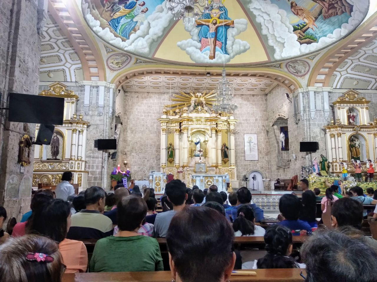
- Inside Balayan Church during Simbang Gabi, AlphaOrion21, CC BY-SA 4.0
- Balayan Batangas, Shubert Ciencia, CC BY 2.0
- Balayan Crossing, Batangas, May 2026, Ralff Nestor Nacor, CC BY-SA 4.0
- Balayan Church Facade, Eric Jam, CC BY-SA 3.0
- Sixto Castelo Lopez historical marker, National Historical Commission of the Philippines, Public domain
- Clemencia Castelo Lopez historical marker, National Historical Commission of the Philippines, Public domain
- ISS045-E-71330 - View of Earth, Earth Science and Remote Sensing Unit , Lyndon B. Johnson Space Center, Public domain
- ISS045-E-71326 - View of Earth, Earth Science and Remote Sensing Unit , Lyndon B. Johnson Space Center, Public domain
- ISS045-E-71328 - View of Earth, Earth Science and Remote Sensing Unit , Lyndon B. Johnson Space Center, Public domain
- ISS045-E-71329 - View of Earth, Earth Science and Remote Sensing Unit , Lyndon B. Johnson Space Center, Public domain
- ISS045-E-71327 - View of Earth, Earth Science and Remote Sensing Unit , Lyndon B. Johnson Space Center, Public domain
- ISS045-E-71331 - View of Earth, Earth Science and Remote Sensing Unit , Lyndon B. Johnson Space Center, Public domain


Page built November 7, 2026. Spotted a mistake? Tell us or suggest a place.