


Why visit Balibago
Townapedia lists 3 museums and landmarks, 10 parks and trails, 347 places to eat and 73 places to stay in and around town.
Highlights include Museo ning Angeles and Bayanihan Park.
Weather in Balibago
Forecast from MET Norway (CC BY 4.0). Full forecast
Museums and landmarks3

Museo ning Angeles
Museum · 3.1 km
Art, history, and food museum in Angeles, Philippines


Parks, trails and playgrounds10


Restaurants and cafes347
Eggs N' Brekky
Restaurant · International · 0.6 km
284 MacArthur Highway, Angeles City
Mo-Su 06:00-23:00

Fields Bistro
Restaurant · Pizza, Pasta, International, Burger, German · 1.1 km
Fields Avenue, Angeles City
24/7
Hardin
Restaurant · Filipino, Steak House, Barbecue · 1.2 km
914 Fields Avenue, Angeles City
Mo-Su 16:00-01:00
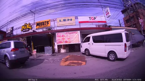
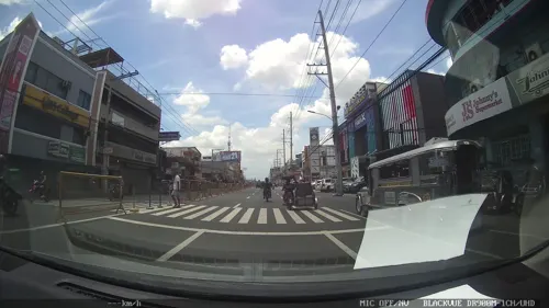
335 more on the map.
Where to stay73
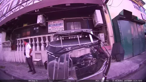

La Casa Prima
Motel and hotel · 0.8 km
5016-B Don Rosauro Street, Angeles
24/7
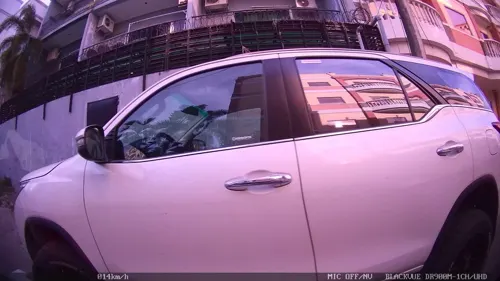


Walk Around Hotel
Motel and hotel · 0.9 km
Lot 2 Walking Street, Angeles City
61 more on the map.
Churches and places of worship30
Balibago Seventh-day Adventist Church
Church · Seventh Day Adventist · 0.6 km
1831 Angelito Street
Divine Mercy Chapel
Church · Roman Catholic · 0.9 km
Sitio Don Bonifacio, Angeles City
Hearts of Jesus & Mary Chapel
Church · Roman Catholic · 1.0 km
Quezon, Angeles City
Saint Isidore Chapel
Church · Roman Catholic · 1.3 km
Sitio Malabanias, Angeles City
St. Anthony of Padua Chapel
Church · Roman Catholic · 0.6 km
Thomas Street, Angeles City
Sunbeam Christian Bible Baptist Church
Church · Baptist · 1.3 km
Don Pepe Henson Street, Angeles
Shopping34
Gas and EV charging27
Schools, colleges and libraries20
Healthcare33
Angeles City Reproductive Health and Wellness Center
Clinic and pharmacy · 0.8 km
Surla Street, Angeles
Caroline I. Feliciano, MD - Ob-Gyn and Medical Clinic
Clinic and pharmacy · 1.3 km
Map of Balibago
250 places. The map loads OpenStreetMap tiles when you open it.
Getting there and nearby towns
Clark International Airport (CRK) is the nearest airport with scheduled flights listed in OpenStreetMap, 5 km away.
- Angeles City 2 km southwest, about 2 min by car
- Mabalacat City 7 km north, about 7 min by car
- Magalang 9 km northeast, about 9 min by car
- Porac 12 km southwest, about 12 min by car
- San Fernando 17 km southeast, about 17 min by car
- Santa Rita 18 km south, about 18 min by car
- Capas 19 km north, about 19 min by car
- Concepcion 19 km north, about 19 min by car
- Arayat 19 km east, about 19 min by car
- Santa Ana 20 km east, about 20 min by car
Drive times are estimates from straight-line distance, not routes.
Local news
Headlines from INDB.
Reviews, tips and questions
Loading what members have shared...
Sources and licences
- GeoNames (CC BY 4.0): population, coordinates, regions and time zone
- Mapillary (see each image): photos
- OpenStreetMap contributors (ODbL 1.0): places, airports, map data
- Wikidata (CC0 1.0): elevation, founding date, time zone, website, landmarks and historic places
- Wikimedia Commons (see each image): photos
Photo credits
- MuseumofAngelesjf3899 07, Ramon FVelasquez, CC BY-SA 3.0
- MarqueMalljf4060 08, Ramon FVelasquez, CC BY-SA 3.0
- Angeles Lourdes Sur, Mount Arayat drone (Angeles, Pampanga; 02-15-2026), Patrickroque01, CC BY-SA 4.0
- Marquee Mall, Angeles, Pampanga, May 2026, Ralff Nestor Nacor, CC BY-SA 4.0
- Living Earth, Holy Angel University, Phil - panoramio, DM San Jose, CC BY 3.0
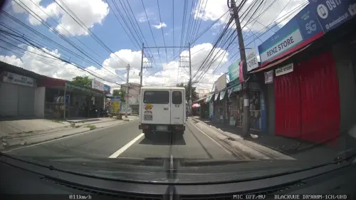
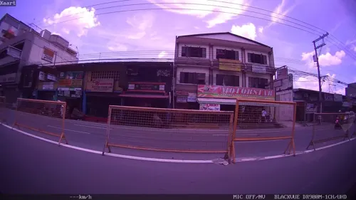
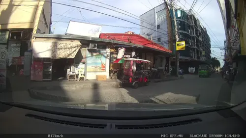
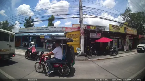
- Street-level photo, kaart_1, CC BY-SA 4.0
- Street-level photo, kaart_2, CC BY-SA 4.0
- Street-level photo, kaart_2, CC BY-SA 4.0
- Street-level photo, kaart_2, CC BY-SA 4.0
- Street-level photo, kaart_2, CC BY-SA 4.0
- Street-level photo, kaart_1, CC BY-SA 4.0
- Street-level photo, kaart_2, CC BY-SA 4.0
- Street-level photo, kaart_2, CC BY-SA 4.0
- Street-level photo, kaart_2, CC BY-SA 4.0
- Street-level photo, kaart_2, CC BY-SA 4.0
- Street-level photo, kaart_2, CC BY-SA 4.0
- Street-level photo, kaart_2, CC BY-SA 4.0
- Street-level photo, kaart_1, CC BY-SA 4.0
- Street-level photo, mapsaddict, CC BY-SA 4.0
Page built November 7, 2026. Spotted a mistake? Tell us or suggest a place.