


Why visit Caba
Townapedia lists 10 museums and landmarks, 1 park or trail, 12 places to eat and 2 places to stay in and around town.
Highlights include Caba and Caba: Landas ng Pagkabansang Pilipino, 1899.
Weather in Caba
Forecast from MET Norway (CC BY 4.0). Full forecast
About Caba
Caba, officially the Municipality of Caba (Ilocano: Ili ti Caba; Pangasinan: Baley na Caba; Filipino: Bayan ng Caba), is a coastal municipality in the province of La Union, Philippines. According to the 2024 census, it has a population of 23,432 people.
From the Wikipedia article Caba, La Union (this version), under CC BY-SA 4.0.
Museums and landmarks10


Caba: Landas ng Pagkabansang Pilipino, 1899
Monument and historic site
MacArthur Highway, Caba


Elpidio Quirino (1890–1956)
Monument and historic site · 0.7 km
MacArthur Highway, Caba

Elpidio Quirino Monument
Monument and historic site · 0.7 km
MacArthur Highway, Caba
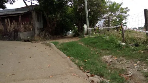
Gapuz Grape Farm
Monument and historic site · 3.2 km
Brgy MacArthur Hwy, Bauang, La Union

Parks, trails and playgrounds1
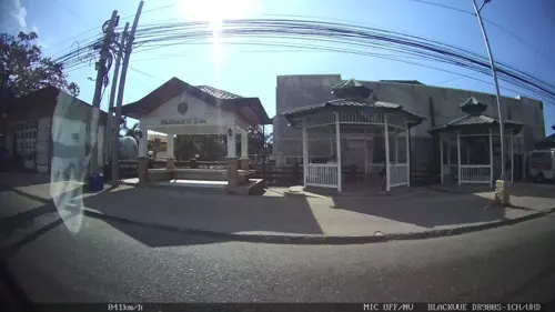
Restaurants and cafes12

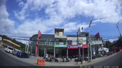
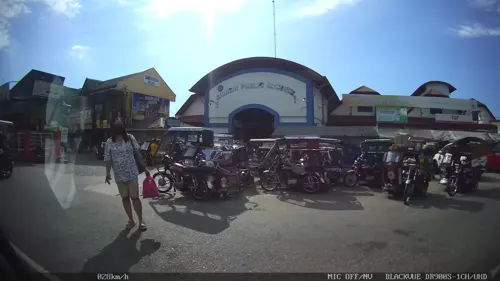





Where to stay2

Churches and places of worship20
Shopping5
Gas and EV charging10
Schools, colleges and libraries31
Healthcare3
Aringay Primary Care Facility
Clinic and pharmacy · 4.2 km
Don Cornelio Nimuan Road
Map of Caba
94 places. The map loads OpenStreetMap tiles when you open it.
Getting there and nearby towns
San Fernando Airport (SFE) is the nearest airport with scheduled flights listed in OpenStreetMap, 18 km away.
- Aringay 4 km south, about 4 min by car
- Bauang 11 km north, about 11 min by car
- San Fernando 21 km north, about 21 min by car
- Baguio 27 km east, about 27 min by car
- La Trinidad 26 km east, about 26 min by car
- San Gabriel 28 km north, about 28 min by car
- Itogon 36 km east, about 36 min by car
- Mangaldan 41 km south, about 41 min by car
- Dagupan 43 km south, about 43 min by car
- Calasiao 47 km south, about 47 min by car
Drive times are estimates from straight-line distance, not routes.
Local news
Headlines from INDB.
Reviews, tips and questions
Loading what members have shared...
Sources and licences
- GeoNames (CC BY 4.0): population, coordinates, regions and time zone
- Mapillary (see each image): photos
- OpenStreetMap contributors (ODbL 1.0): places, airports, map data
- Wikidata (CC0 1.0): elevation, founding date, time zone, website
- Wikimedia Commons (see each image): photos
- Wikipedia (CC BY-SA 4.0): overview and history text
Photo credits
- Cabajf702, Ramon FVelasquez, CC BY-SA 3.0
- 2024-NHC-Caba-Surroundings, Andre Ryan Maceda, CC BY-SA 4.0
- 5139Santiago Sur, Caba, La Union 23, Judgefloro, CC0
- 4992Las-ud, Caba, La Union 17, Judgefloro, CC0
- 4992Las-ud, Caba, La Union 36, Judgefloro, CC0
- 5139Santiago Sur, Caba, La Union 39, Judgefloro, CC0
- 4992Las-ud, Caba, La Union 38, Judgefloro, CC0
- 4992Las-ud, Caba, La Union 55, Judgefloro, CC0
- 4992Las-ud, Caba, La Union 64, Judgefloro, CC0
- 4992Las-ud, Caba, La Union 51, Judgefloro, CC0
- 4992Las-ud, Caba, La Union 34, Judgefloro, CC0
- 5139Santiago Sur, Caba, La Union 04, Judgefloro, CC0
- 5139Santiago Sur, Caba, La Union 05, Judgefloro, CC0
- 5139Santiago Sur, Caba, La Union 09, Judgefloro, CC0
- 5139Santiago Sur, Caba, La Union 16, Judgefloro, CC0
- 5139Santiago Sur, Caba, La Union 27, Judgefloro, CC0
- 5139Santiago Sur, Caba, La Union 32, Judgefloro, CC0
- 5139Santiago Sur, Caba, La Union 41, Judgefloro, CC0
- 4992Las-ud, Caba, La Union 29, Judgefloro, CC0
- 5139Santiago Sur, Caba, La Union 44, Judgefloro, CC0
- 5139Santiago Sur, Caba, La Union 35, Judgefloro, CC0
- 4992Las-ud, Caba, La Union 10, Judgefloro, CC0
- 4992Las-ud, Caba, La Union 22, Judgefloro, CC0
- 5139Santiago Sur, Caba, La Union 19, Judgefloro, CC0
- 5139Santiago Sur, Caba, La Union 36, Judgefloro, CC0
- 4992Las-ud, Caba, La Union 63, Judgefloro, CC0
- 5139Santiago Sur, Caba, La Union 30, Judgefloro, CC0
- 4992Las-ud, Caba, La Union 21, Judgefloro, CC0
- 4992Las-ud, Caba, La Union 48, Judgefloro, CC0
- 4992Las-ud, Caba, La Union 65, Judgefloro, CC0
- 4992Las-ud, Caba, La Union 66, Judgefloro, CC0
- 4992Las-ud, Caba, La Union 13, Judgefloro, CC0
- 4992Las-ud, Caba, La Union 05, Judgefloro, CC0
- 5139Santiago Sur, Caba, La Union 33, Judgefloro, CC0
- 4992Las-ud, Caba, La Union 46, Judgefloro, CC0
- 5139Santiago Sur, Caba, La Union 42, Judgefloro, CC0
- 4992Las-ud, Caba, La Union 08, Judgefloro, CC0
- 4992Las-ud, Caba, La Union 42, Judgefloro, CC0
- 4992Las-ud, Caba, La Union 61, Judgefloro, CC0
- 5139Santiago Sur, Caba, La Union 14, Judgefloro, CC0
- 1963-PHC-Diego Silang, Andre Ryan Maceda, CC BY-SA 4.0
- 1983-NHI-Elpidio Quirino, Andre Ryan Maceda, CC BY-SA 4.0
- 1979-NHI-Caba, Andre Ryan Maceda, CC BY-SA 4.0
- 2024-NHC-Caba, Andre Ryan Maceda, CC BY-SA 4.0
- To Diego Silang commemorative plaque in Caba, La Union, Ramon FVelasquez, CC BY-SA 3.0
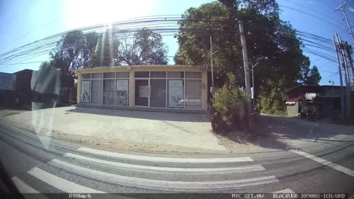
- Street-level photo, Kaart---LEFT, CC BY-SA 4.0
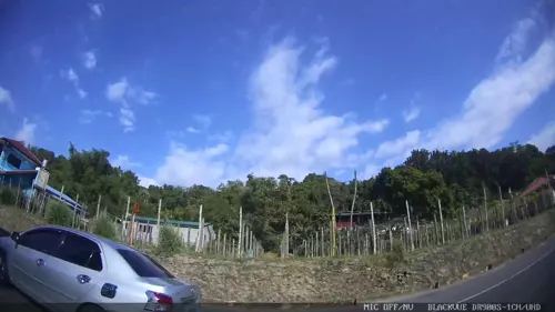
- Street-level photo, Kaart---LEFT, CC BY-SA 4.0
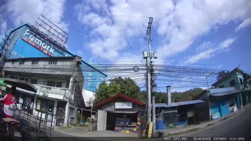
- Street-level photo, Kaart---LEFT, CC BY-SA 4.0
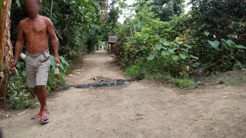
- Street-level photo, asdfasdf0987, CC BY-SA 4.0
- Street-level photo, Kaart---RIGHT, CC BY-SA 4.0
- Street-level photo, Kaart---LEFT, CC BY-SA 4.0
- Street-level photo, asdfasdf0987, CC BY-SA 4.0
- Street-level photo, Kaart---LEFT, CC BY-SA 4.0
- Street-level photo, Kaart---RIGHT, CC BY-SA 4.0
- Street-level photo, Kaart---LEFT, CC BY-SA 4.0
- Street-level photo, Kaart---LEFT, CC BY-SA 4.0
- Street-level photo, asdfasdf0987, CC BY-SA 4.0
- Street-level photo, Kaart---RIGHT, CC BY-SA 4.0
- Street-level photo, Kaart---LEFT, CC BY-SA 4.0
- Street-level photo, Kaart---LEFT, CC BY-SA 4.0
- Street-level photo, Kaart---RIGHT, CC BY-SA 4.0
- Street-level photo, Kaart---LEFT, CC BY-SA 4.0
- Street-level photo, Kaart---RIGHT, CC BY-SA 4.0


Page built November 7, 2026. Spotted a mistake? Tell us or suggest a place.