


Why visit Carmen
Townapedia lists 3 museums and landmarks, 8 parks and trails, 94 places to eat, 6 places to stay and 1 attraction in and around town.
Weather in Carmen
Forecast from MET Norway (CC BY 4.0). Full forecast
About Carmen
Carmen (Tagalog: ['kaɾmɛn]), officially the Municipality of Carmen (Cebuano: Lungsod sa Carmen; Tagalog: Bayan ng Carmen), is a first-class municipality in the province of Davao del Norte, Philippines. According to the 2024 census, it has a population of 88,745 people and a daily foot traffic of more than 250,000 people, mainly because of its strategic location in the Pan-Philiipine Highway (Maharlika Highway).
From the Wikipedia article Carmen, Davao del Norte (this version), under CC BY-SA 4.0.
Things to do1

Museums and landmarks3


Parks, trails and playgrounds8


Restaurants and cafes94

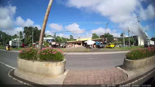
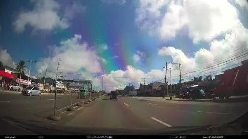
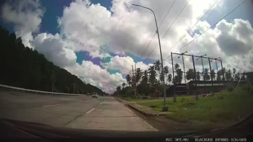
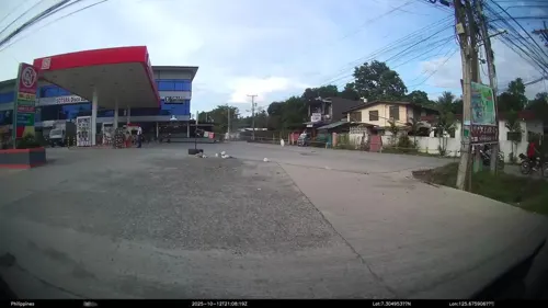




82 more on the map.
History
Carmen was once part of Tagum in 1941, and then municipality of Panabo in 1949 in the undivided province of Davao. It was by virtue of Republic Act 4745 enacted by the defunct Philippine Congress that the new municipality was created on June 18, 1966. Carmen was named in memory of Doña Carmen Veloso, then wife of Congressman Ismael Veloso whose ancestors came from Carmen, Cebu.
During World War II, many Filipinos joined military units that resisted the Japanese invaders. In Carmen, locals fought during the war and drove away the Japanese army then stationed in Barangay Ising. The Battle of Ising is being remembered with a 30 feet (9.1 m) high monument built on the same spot the battle took place, which was just a few meters away from the Japanese garrison. The Veterans Memorial Shrine, just along the national highway, records some of the names of those who participated, and has become a tourist attraction in Carmen.
From the History section of Carmen, Davao del Norte on Wikipedia, under CC BY-SA 4.0.
Where to stay6
Churches and places of worship41
Iglesia ni Cristo
Church · Iglesia Ni Cristo
Davao-Agusan National Highway, Carmen
Iglesia ni Cristo
Church · Iglesia Ni Cristo · 8.3 km
Tagum-Panabo Circumferential Road, Panabo City
Iglesia ni Cristo - Lokal ng Tangcuan
Church · Iglesia Ni Cristo · 7.3 km
Davao-Agusan National Highway, Tagum
Kingdom Hall of Jehovah's Witnesses
Church · Jehovahs Witness
Santan Street, Carmen
Santo Niño Church
Church · Roman Catholic · 6.3 km
Davao-Agusan National Highway, Panabo City
The Church of Jesus Christ of Latter-day Saints
Church · Protestant · 6.2 km
Panabo City Coastal Road, Panabo City
United Methodist Church
Church · Methodist · 4.6 km
Davao-Agusan National Highway
Shopping15
Gas and EV charging41
Schools, colleges and libraries76
Doña Nenita R. Floirendo Elementary School
School · 7.7 km
Garcia Street, Panabo City
Gredu Elementary School
School · 7.8 km
Davao-Agusan National Highway, Panabo City
Maryknoll Highschool of Panabo
School · 6.3 km
Panabo City Coastal Road, Panabo City
North Davao Colleges Elementary & High School Department
School · 7.0 km
Quirino Street, Panabo City
Panabo Central Elementary School
School · 6.8 km
Davao-Agusan National Highway, Panabo City
Healthcare22
Rose Pharmacy
Clinic and pharmacy · 6.8 km
Davao-Agusan National Highway, Panabo City
Out Patient Emergency Clinic and Safety Birthing Facility
Clinic and pharmacy · 7.4 km
Roxas Street, Panabo City
Map of Carmen
250 places. The map loads OpenStreetMap tiles when you open it.
Getting there and nearby towns
Francisco Bangoy International Airport (DVO) is the nearest airport with scheduled flights listed in OpenStreetMap, 27 km away.
- Panabo 6 km southwest, about 6 min by car
- Maco 16 km east, about 16 min by car
- Cambanugoy 21 km north, about 21 min by car
- New Corella 28 km northeast, about 28 min by car
- Samal 32 km south, about 32 min by car
- Davao 34 km south, about 34 min by car
- Nabunturan 40 km northeast, about 40 min by car
- Montevista 48 km northeast, about 48 min by car
- Compostela 55 km northeast, about 55 min by car
- Lupon 61 km southeast, about 1 h by car
Drive times are estimates from straight-line distance, not routes.
Local news
Headlines from INDB.
Reviews, tips and questions
Loading what members have shared...
Sources and licences
- GeoNames (CC BY 4.0): population, coordinates, regions and time zone
- Mapillary (see each image): photos
- OpenStreetMap contributors (ODbL 1.0): places, airports, map data
- Wikidata (CC0 1.0): elevation, founding date, time zone, website
- Wikimedia Commons (see each image): photos
- Wikipedia (CC BY-SA 4.0): overview and history text
Photo credits
- Tagum carmen border, S5switch ( talk ), CC BY 3.0
- Mt. Matutum, The witness of undying love, Wilborne Ian Lustre, CC BY-SA 4.0
- ISS022-E-78762 - View of Earth, Earth Science and Remote Sensing Unit , Lyndon B. Johnson Space Center, Public domain
- Once upon a Time, Wilborne Ian Lustre, CC BY-SA 4.0
- Street-level photo, kaart_4, CC BY-SA 4.0
- Street-level photo, kaart_1, CC BY-SA 4.0
- Street-level photo, Kaart---RIGHT, CC BY-SA 4.0
- Street-level photo, Kaart---FRONT, CC BY-SA 4.0
- Street-level photo, Kaart---FRONT, CC BY-SA 4.0
- Street-level photo, Kaart---LEFT, CC BY-SA 4.0
- Street-level photo, kaart_4, CC BY-SA 4.0
- Street-level photo, kaart_1, CC BY-SA 4.0
- Street-level photo, Kaart---FRONT, CC BY-SA 4.0
- Street-level photo, Kaart---FRONT, CC BY-SA 4.0
- Street-level photo, Kaart---RIGHT, CC BY-SA 4.0
- Street-level photo, kaart_4, CC BY-SA 4.0
- Street-level photo, Kaart---RIGHT, CC BY-SA 4.0
- Street-level photo, kaart_4, CC BY-SA 4.0
- Street-level photo, Kaart---RIGHT, CC BY-SA 4.0
- Street-level photo, kaart_4, CC BY-SA 4.0
- Street-level photo, kaart_3, CC BY-SA 4.0
- Street-level photo, Kaart---RIGHT, CC BY-SA 4.0
Page built November 7, 2026. Spotted a mistake? Tell us or suggest a place.