


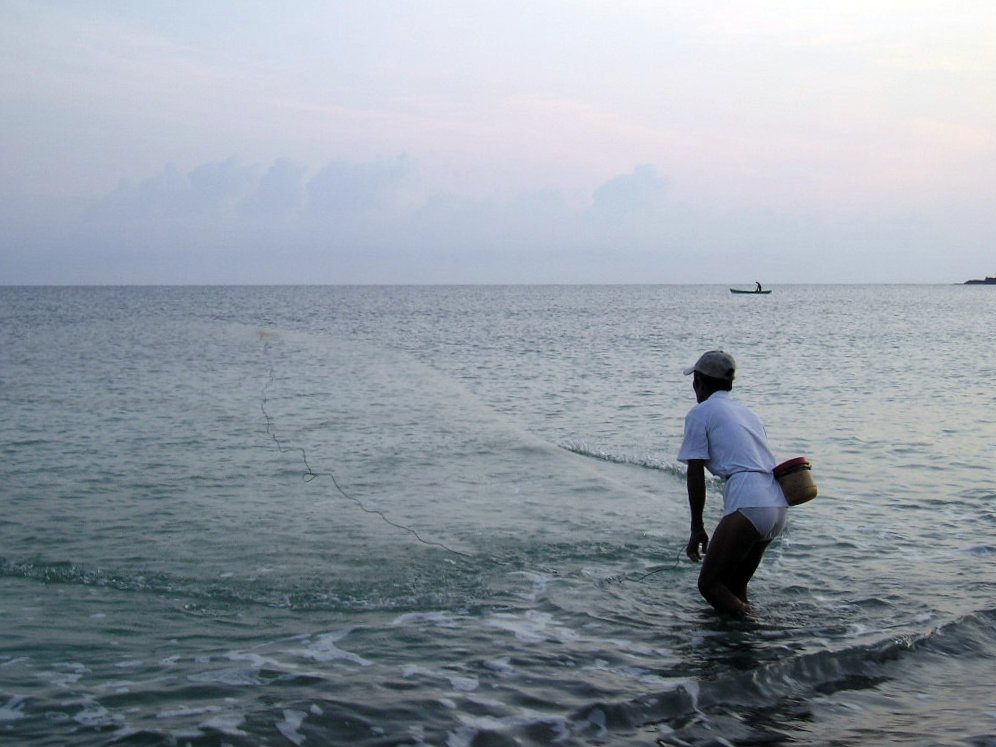

Claveria, Philippines
Claveria is a town of 10,618 people in Cagayan Valley, Philippines.
Why visit Claveria
Townapedia lists 1 museum or landmark, 3 parks and trails, 10 places to eat, 10 places to stay and 4 attractions in and around town.
Weather in Claveria
Forecast from MET Norway (CC BY 4.0). Full forecast
About Claveria
Claveria, officially the Municipality of Claveria (Ibanag: Ili nat Claveria; Ilocano: Ili ti Claveria; Tagalog: Bayan ng Claveria), is a municipality in the province of Cagayan, Philippines. According to the 2024 census, it has a population of 32,997 people.
From the Wikipedia article Claveria, Cagayan (this version), under CC BY-SA 4.0.
Travel tips from other travellers: Claveria on Wikivoyage (CC BY-SA 4.0).
Things to do4



Museums and landmarks1

Parks, trails and playgrounds3


Restaurants and cafes10




History
Claveria was officially established as a Spanish mission called Cabicungan on 17 April 1633. It was made into a civil town on 9 March 1865. Initially named after the Cabicungan river that runs through the town, it was renamed Claveria in the 19th century after the Spanish Governor-General Narciso Clavería. In 1661, the town was attacked by rebels from the Ilocos led by Pedro Almazan, resulting in the death of the resident missionary, Jose Navarro de Santa Maria. In the 18th century, the Spanish established a military garrison in the town to launch expeditions against the unconquered Isneg tribes of Apayao and to guard the mountain route to the Ilocos.
From the History section of Claveria, Cagayan on Wikipedia, under CC BY-SA 4.0.
Where to stay10
Gener-Letty Dumawang Guest House-Culao Claveria
Motel and hotel · 4.7 km
Maharlika Highway
Churches and places of worship6
The Church of Jesus Christ of Latter-day Saints
Church · Roman Catholic · 1.0 km
Maharlika Highway
Shopping1
Gas and EV charging6
Schools, colleges and libraries43
Nagrangtayan-Macagan Elementary School
School · 10.5 km
Maharlika Highway, Sanchez-Mira
Healthcare2
Map of Claveria
86 places. The map loads OpenStreetMap tiles when you open it.
Getting there and nearby towns
Laoag International Airport (LAO) is the nearest airport with scheduled flights listed in OpenStreetMap, 75 km away.
- Namuac 9 km east, about 9 min by car
- Santa Praxedes 10 km southwest, about 10 min by car
- Sanchez-Mira 16 km east, about 16 min by car
- Adams 25 km southwest, about 25 min by car
- Santa Cruz 26 km southeast, about 26 min by car
- Pagudpud 32 km west, about 32 min by car
- Pamplona 31 km southeast, about 31 min by car
- Bangui 34 km west, about 34 min by car
- Laoag 69 km southwest, about 1 h 15 min by car
- San Nicolas 71 km southwest, about 1 h 15 min by car
Drive times are estimates from straight-line distance, not routes.
Local news
Headlines from INDB.
Reviews, tips and questions
Loading what members have shared...
Sources and licences
- GeoNames (CC BY 4.0): population, coordinates, regions and time zone
- OpenStreetMap contributors (ODbL 1.0): places, airports, map data
- Wikidata (CC0 1.0): elevation, founding date, time zone, website, landmarks and historic places
- Wikimedia Commons (see each image): photos
- Wikipedia (CC BY-SA 4.0): overview and history text
Photo credits
- Claveria Cagayan, Shubert Ciencia, CC BY 2.0
- Pata Church Ruins of Claveria, Cagayan - Flickr, Shubert Ciencia from Nueva Ecija, Philippines, CC BY 2.0
- Subsistence fishing in Claveria, Cagayan - Flickr, Shubert Ciencia from Nueva Ecija, Philippines, CC BY 2.0
- Sentinela (Claveria, Cagayan) - Flickr, Shubert Ciencia from Nueva Ecija, Philippines, CC BY 2.0
- Claveria, Cagayan shores (S. Ciencia) - Flickr, Shubert Ciencia from Nueva Ecija, Philippines, CC BY 2.0
- Tabucol (Claveria, Cagayan) (S. Ciencia) - Flickr, Shubert Ciencia from Nueva Ecija, Philippines, CC BY 2.0
- Beach of Claveria, Cagayan2, Jubhel Claire Domingo, CC BY-SA 4.0
- Beach of Claveria, Cagayan3, Jubhel Claire Domingo, CC BY-SA 4.0
- Beach of Claveria, Cagayan, Jubhel Claire Domingo, CC BY-SA 4.0
- Panorama beach, Jubhel Claire Domingo, CC BY-SA 4.0
- ISS029-E-27906 - View of Earth, Earth Science and Remote Sensing Unit , Lyndon B. Johnson Space Center, Public domain


Page built November 7, 2026. Spotted a mistake? Tell us or suggest a place.